Home
States
Colorado
Connecticut
Maine
Massachusetts
New Hampshire
New York
Rhode Island
Utah
Vermont
View All
Lists
NE 4,000 Footers
NE 100 Highest
NH 4,000 Footers
NH 100 Highest
NH 52 With A View
NH Belknap Range
NH Ossipee 10
Links
Trail Conditions
Trip Log
Sunrises
Sunsets
About
|
Mt. Van Cott
Salt Lake City, UT
Trailheads, measurements, times, distances, and maps are all approximate and relative to the hike(s) as shown below.
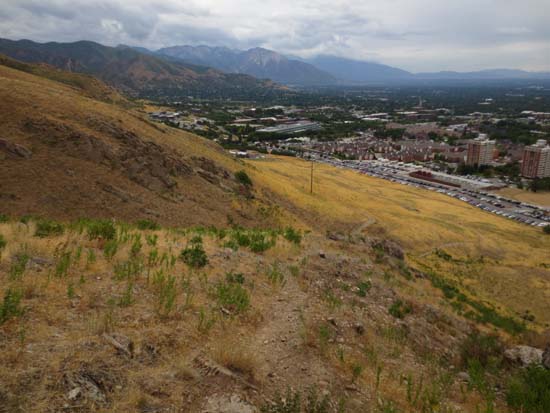
Looking down one of the trails to Mt. Van Cott
Route: Various trails
After navigating a series of university roads, I finally found myself at the dirt parking lot near Red Butte Canyon. While I had a map with me, I found the trails a little bit difficult to navigate, as there was no signage and many of them seemed like herd paths. Since the named summit doesn't have much prominence, it's easy to miss. Nonetheless, I was able to use my phone GPS to determine when I was in the right place. Virtually all of the terrain was wide open, so while the trails are confusing, one can almost always see the bottom.
| Hike Ratings |
|
Getting To Trailhead: |
Easy |
| Destination: |
Mt. Van Cott |
|
Length: |
Moderate |
|
Steepness: |
Moderate |
|
Navigation: |
Moderate |
|
Views: |
Excellent |
|
Crowds: |
Minimal |
|
| Hike Stats |
|
Date Hiked: |
Monday, August 26, 2013 |
| Parking Elevation: |
5,000' |
| Destination: |
Mt. Van Cott |
| Time Elapsed: |
00:37 |
| Trailhead Elevation: |
5,000' |
| Summit Elevation: |
6,348' |
| Vertical Gain: |
1,398' |
|
|
| Hike Time Elapsed: |
01:07 |
| Hike Vertical Gain: |
1,398' |
|
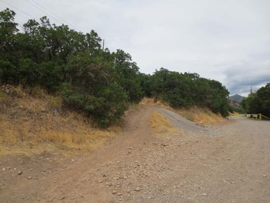
The start of a trail departing from Red Butte Canyon Road
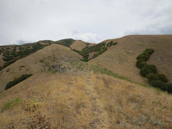
Looking down one of the trails to Mt. Van Cott

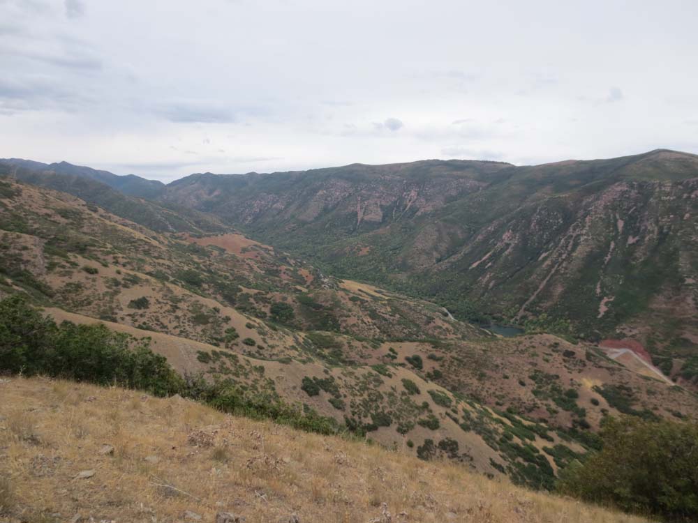
Looking up Red Butte Canyon from near the summit of Mt. Van Cott
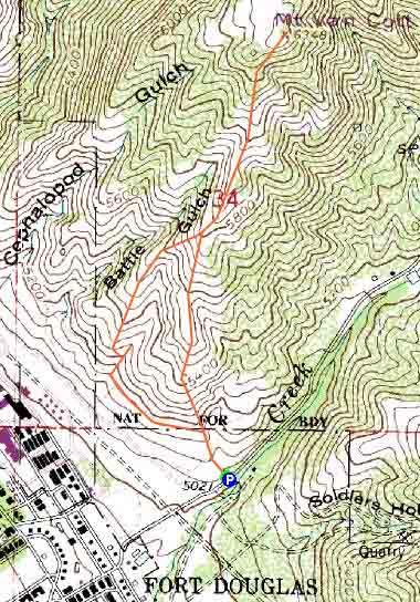

Directions to trailhead: From Route 286, take Wakara Road uphill, then take a left onto Connor Road. This will become Red Butte Canyon Road. There is a dirt parking lot at the right just before the gate. A trail departs on the embankment at left.
Back to Mt. Van Cott Profile
|