Home
States
Colorado
Connecticut
Maine
Massachusetts
New Hampshire
New York
Rhode Island
Utah
Vermont
View All
Lists
NE 4,000 Footers
NE 100 Highest
NH 4,000 Footers
NH 100 Highest
NH 52 With A View
NH Belknap Range
NH Ossipee 10
Links
Trail Conditions
Trip Log
Sunrises
Sunsets
About
|
Quarry Mountain
Park City, UT
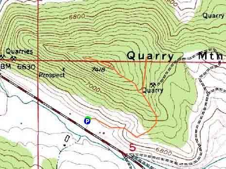
Trailheads, measurements, times, distances, and maps are all approximate and relative to the hike(s) as shown below.
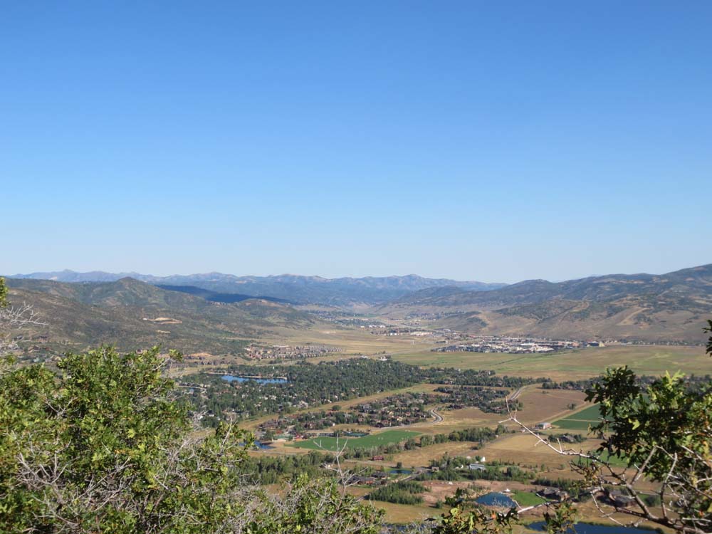
Looking down one of the trails on Quarry Mountain
Route: Various trails
After finishing a nice sunrise hike on Mt. Aire, I took a ride over to Park City and found the weather to be much better than forecast. As such, it seemed like a nice time to jog Quarry Mountain, a peak that had been on my radar since skiing in the area this past spring.
Starting at the paved recreational trail, I soon took a left onto the Quarry Mountain Connector. Generally in open fields, the trail wound its way around the mountain, ducked into some scrub, and eventually reached a junction with another trail on a somewhat even contour. The map showed the trail connecting to the access road to the southeast, so I initially headed that way. I soon reached a dead end at a large pile of dirt (a foundation was being poured on the other side).
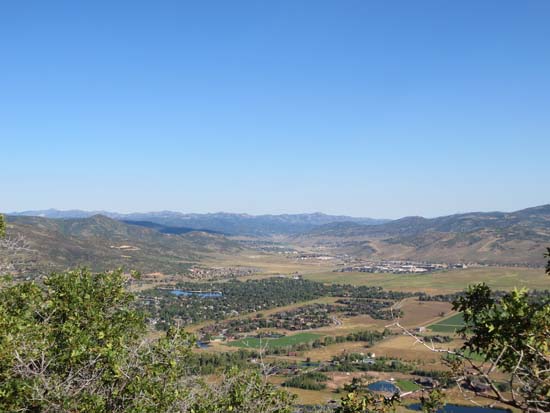
Backtracking, I went to the opposite way (ie when going uphill, taking a left) and followed paths to the tower covered summit. Best I could tell, the highpoint was a wooded embankment just beyond the fenced in towers. Just beyond this, there were excellent directional views from the access road.
| Hike Ratings |
|
Getting To Trailhead: |
Easy |
| Destination: |
Quarry Mountain |
|
Length: |
Moderate |
|
Steepness: |
Moderate |
|
Navigation: |
Moderate |
|
Views: |
Excellent |
|
Crowds: |
Minimal |
|
| Hike Stats |
|
Date Hiked: |
Sunday, August 25, 2013 |
| Parking Elevation: |
6,680' |
| Destination: |
Quarry Mountain |
| Time Elapsed: |
00:27 |
| Trailhead Elevation: |
6,680' |
| Summit Elevation: |
7,418' |
| Vertical Gain: |
758' |
|
|
| Hike Time Elapsed: |
00:51 |
| Hike Vertical Gain: |
798' |
|
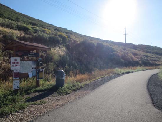
The Farm Trailhead on the Park City recreation trail
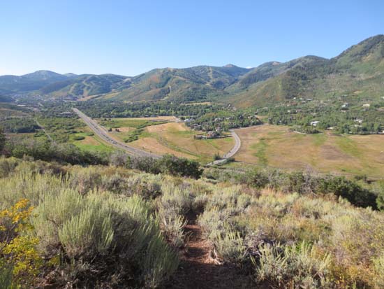
Looking north from near the summit of Quarry Mountain

Directions to trailhead: The Farm Trailhead parking lot is located on Route 224, south of the Canyons entrance and prior to the Meadows Drive intersection.
Back to Quarry Mountain Profile
|