Home
States
Colorado
Connecticut
Maine
Massachusetts
New Hampshire
New York
Rhode Island
Utah
Vermont
View All
Lists
NE 4,000 Footers
NE 100 Highest
NH 4,000 Footers
NH 100 Highest
NH 52 With A View
NH Belknap Range
NH Ossipee 10
Links
Trail Conditions
Trip Log
Sunrises
Sunsets
About
|
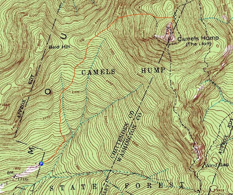
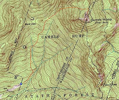
Camel's Hump
Duxbury, VT, Huntington, VT
Trailheads, measurements, times, distances, and maps are all approximate and relative to the hike(s) as shown below.
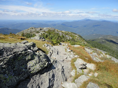
Looking down the Long Trail near the Camel's Hump summit
Route: Burrows Trail, Long Trail, (Camel's Hump), Long Trail, Burrows Trail
After a foggy morning hike up Mansfield, I headed south to Camel's Hump.
Starting at the end of Camel's Hump Road, I headed up the Burrows Trail. With abundant wildflowers along the lower portion of the trail, it was a scenic walk through the hard wood forest.
The trail eventually reached upper elevation spruce, prior to reaching the open field with the Long Trail junction. All in all, the Burrows Trail was fairly tame - decent footing, steady but never overly steep.
From there to the summit was also generally tame, with a few slabs. Reaching the highpoint, I had views in all directions - a stark contrast to being in the cold fog on Mansfield that morning. The scenery ranged from the White Mountain high peaks (though a bit hazy) to the Adirondacks over Lake Champlain to Killington to the south.
After taking in the views, I turned around and made my way down the same route.
| Hike Ratings |
|
Getting To Trailhead: |
Easy |
| Destination: |
Camel's Hump |
|
Length: |
Moderate |
|
Steepness: |
Moderate |
|
Navigation: |
Easy |
|
Views: |
Excellent |
|
Crowds: |
Heavy |
|
| Hike Stats |
|
Date Hiked: |
Friday, August 27, 2010 |
| Hike Commenced: |
1:24 PM |
| Parking Elevation: |
1,800' |
| Destination: |
Camel's Hump |
| Ascent Commenced: |
1:24 PM |
| Summit Reached: |
2:30 PM |
| Time Elapsed: |
01:06 |
| Trailhead Elevation: |
1,800' |
| Summit Elevation: |
4,083' |
| Distance: |
2.4 miles |
| Vertical Gain: |
2,333' |
|
|
| Hike Ended: |
4:02 PM |
| Hike Time Elapsed: |
02:38 |
| Hike Distance: |
4.8 miles |
| Hike Vertical Gain: |
2,363' |
|
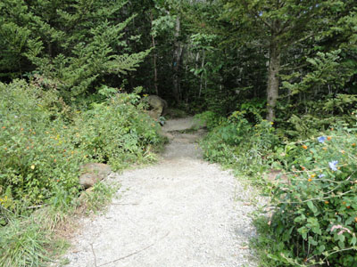
The Burrows Trail trailhead
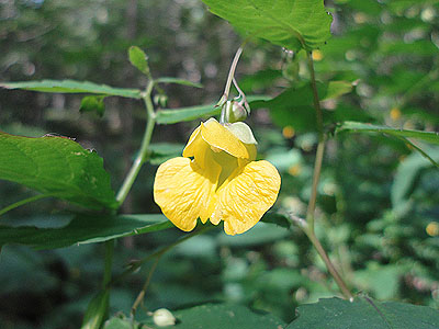
Wildflowers along the Burrows Trail
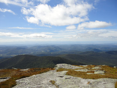
Looking west from the Camel's Hump summit

Directions to trailhead: From US 2 in Richmond, take Bridge Street south over the river, then take a right onto Huntington Road (eventually becoming Main Road). Continue through Huntington Village, eventually reaching Huntington Center. Take a left onto Camel's Hump Road. Continue on Camel's Hump Road to its end, where there is a dirt parking lot. The Burrows Trail starts at the back of the parking lot.
Back to Camel's Hump Profile
|