Home
States
Colorado
Connecticut
Maine
Massachusetts
New Hampshire
New York
Rhode Island
Utah
Vermont
View All
Lists
NE 4,000 Footers
NE 100 Highest
NH 4,000 Footers
NH 100 Highest
NH 52 With A View
NH Belknap Range
NH Ossipee 10
Links
Trail Conditions
Trip Log
Sunrises
Sunsets
About
|
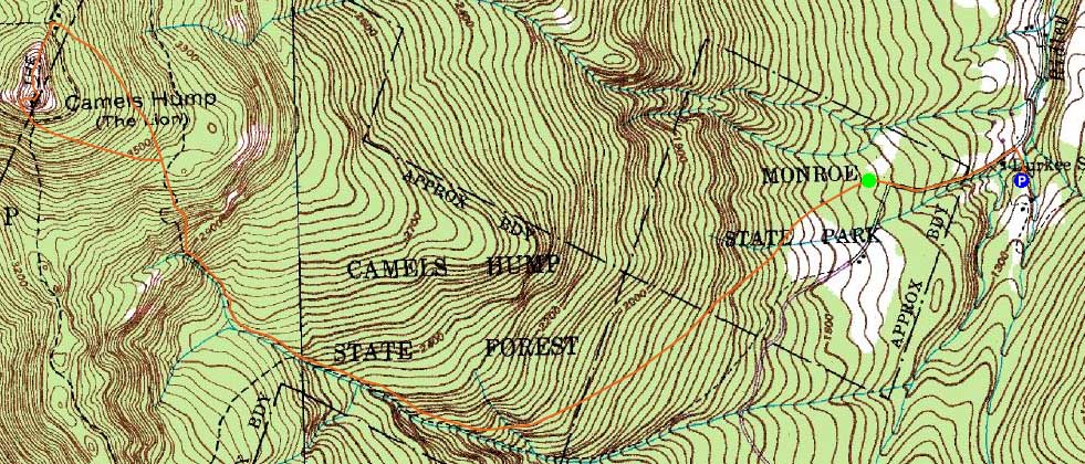
Camel's Hump
Duxbury, VT, Huntington, VT
Trailheads, measurements, times, distances, and maps are all approximate and relative to the hike(s) as shown below.
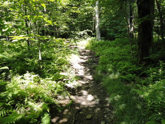
The Monroe Trail
Route: Monroe Trail, Long Trail, (Camel's Hump), Long Trail, Alpine Trail, Monroe Trail
First hike of the day. Very busy trail.
| Hike Ratings |
|
Getting To Trailhead: |
Moderate |
| Destination: |
Camel's Hump |
|
Length: |
Moderate |
|
Steepness: |
Difficult |
|
Navigation: |
Easy |
|
Views: |
Excellent |
|
Crowds: |
Heavy |
|
| Hike Stats |
|
Date Hiked: |
Saturday, July 2, 2011 |
| Parking Elevation: |
1,260' |
| Time to Trailhead: |
00:09 |
| Destination: |
Camel's Hump |
| Time Elapsed: |
01:20 |
| Trailhead Elevation: |
1,430' |
| Summit Elevation: |
4,083' |
| Distance: |
3.4 miles |
| Vertical Gain: |
2,703' |
|
|
| Hike Time Elapsed: |
03:14 |
| Hike Vertical Gain: |
2,833' |
|
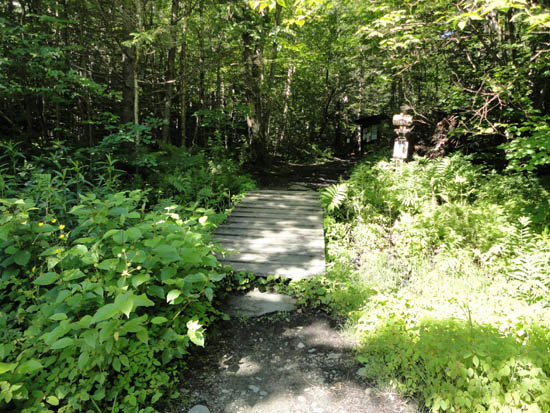
The Monroe Trail trailhead

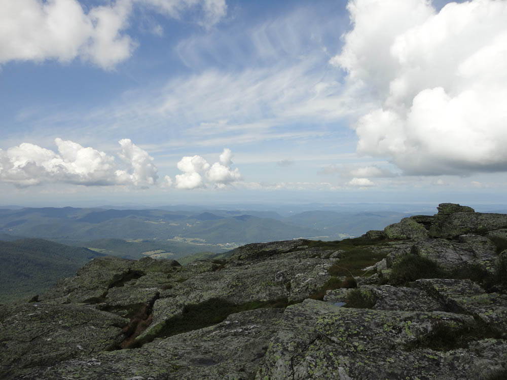
Looking toward Lake Champlain from Camel's Hump
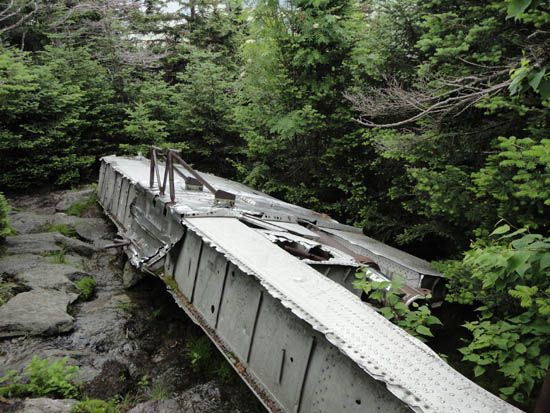
The 1944 U.S. Army Air Corps B-24 Liberator bomber crash remains next to the Alpine Trail
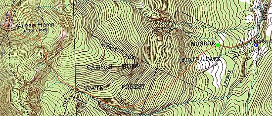

Directions to trailhead: Take I-89 to Exit 10 in Waterbury. Take 100 south, then take a right onto Winsooki Street. Cross over the river, then take a right onto River Road. A few miles later, take a left onto Camel's Hump Road. The winter parking area entrance will be a few minutes up the road on the left. In spring and early summer 2011, the summer parking lots were closed to vehicles due to a washed out road.
Back to Camel's Hump Profile
|