Home
States
Colorado
Connecticut
Maine
Massachusetts
New Hampshire
New York
Rhode Island
Utah
Vermont
View All
Lists
NE 4,000 Footers
NE 100 Highest
NH 4,000 Footers
NH 100 Highest
NH 52 With A View
NH Belknap Range
NH Ossipee 10
Links
Trail Conditions
Trip Log
Sunrises
Sunsets
About
|
Mt. Mansfield (The Forehead), Mt. Mansfield (The Nose), Mt. Mansfield
Underhill, VT, Stowe, VT
Trailheads, measurements, times, distances, and maps are all approximate and relative to the hike(s) as shown below.
Looking up the Maple Ridge Trail
Route: Eagle Cut Trail, CCC Road, Maple Ridge Trail, Long Trail, (Mt. Mansfield - The Forehead), Long Trail, spur trail, (Mt. Mansfield - The Nose), spur trail, Long Trail, (Mt. Mansfield - The Chin), Long Trail, Sunset Ridge Trail, CCC Road, Eagle Cut Trail
While the base area of Underhill State Park was swarming with people, the Maple Ridge Trail was quiet and quite scenic, with a few interesting scrambles along the way.
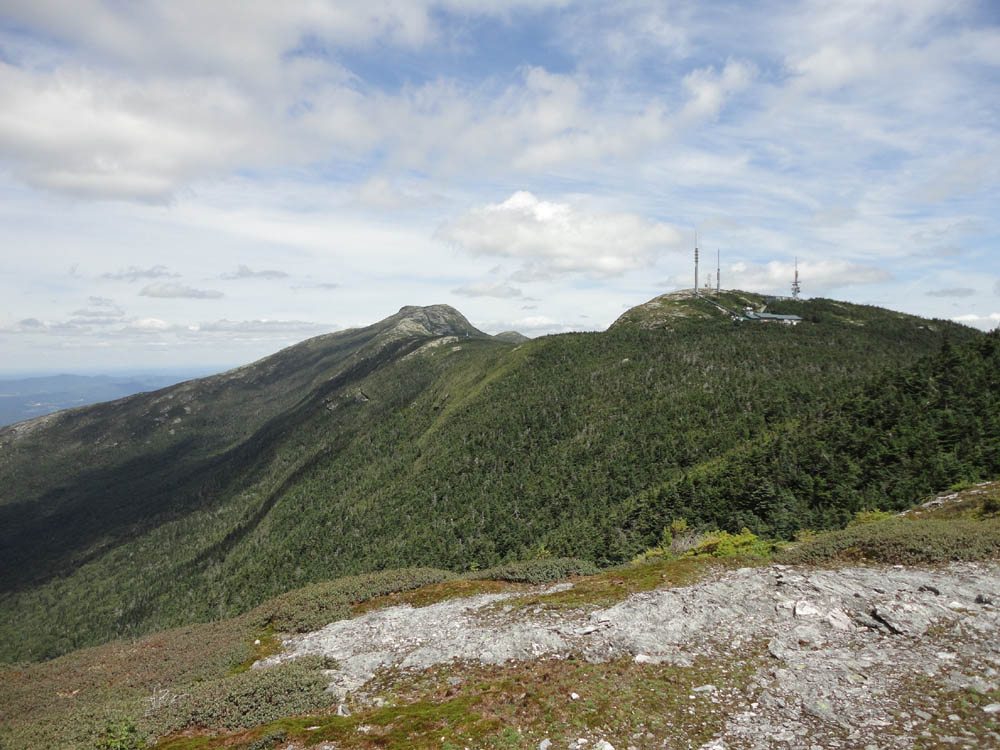
The ridge walk started off quietly, however as we passed by the top of the auto road, scores of people emerged. From there to the summit of the Chin, it was rather crowded.
For the descent, we took the scenic Sunset Ridge Trail.
| Hike Ratings |
|
Getting To Trailhead: |
Easy |
| Destination: |
Mt. Mansfield - The Forehead |
|
Length: |
Moderate |
|
Steepness: |
Very Difficult |
|
Navigation: |
Easy |
|
Views: |
Excellent |
|
Crowds: |
Minimal |
| Destination: |
Mt. Mansfield - The Nose |
|
Length: |
Moderate |
|
Steepness: |
Difficult |
|
Navigation: |
Moderate |
|
Views: |
Excellent |
|
Crowds: |
Minimal |
| Destination: |
Mt. Mansfield - The Chin |
|
Length: |
Moderate |
|
Steepness: |
Difficult |
|
Navigation: |
Easy |
|
Views: |
Excellent |
|
Crowds: |
Heavy |
|
| Hike Stats |
|
Date Hiked: |
Sunday, July 31, 2011 |
| Time to Trailhead: |
00:01 |
| Parking Elevation: |
1,820' |
| Destination: |
Mt. Mansfield (The Forehead) |
| Time Elapsed: |
02:14 |
| Trailhead Elevation: |
1,870' |
| Summit Elevation: |
3,940' |
| Vertical Gain: |
2,320' |
| Destination: |
Mt. Mansfield (The Nose) |
| Time Elapsed: |
00:16 |
| Trailhead Elevation: |
3,940' |
| Summit Elevation: |
4,025' |
| Vertical Gain: |
205' |
| Destination: |
Mt. Mansfield (The Chin) |
| Time Elapsed: |
00:53 |
| Trailhead Elevation: |
4,025' |
| Summit Elevation: |
4,393' |
| Vertical Gain: |
743' |
|
|
| Hike Time Elapsed: |
05:53 |
| Hike Vertical Gain: |
3,368' |
|
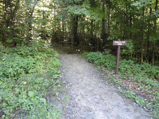
The Eagle Cut Trail trailhead
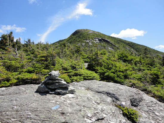
Looking down the Maple Ridge Trail

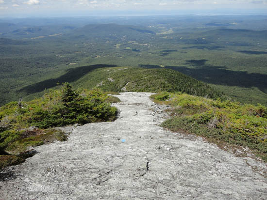
Looking at the Nose and Chin from the Forehead
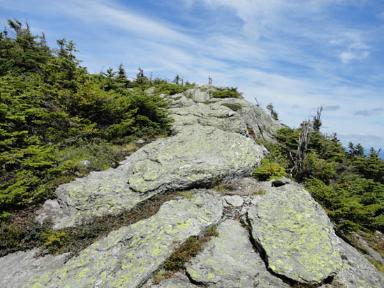
Looking the spur trail to the Nose

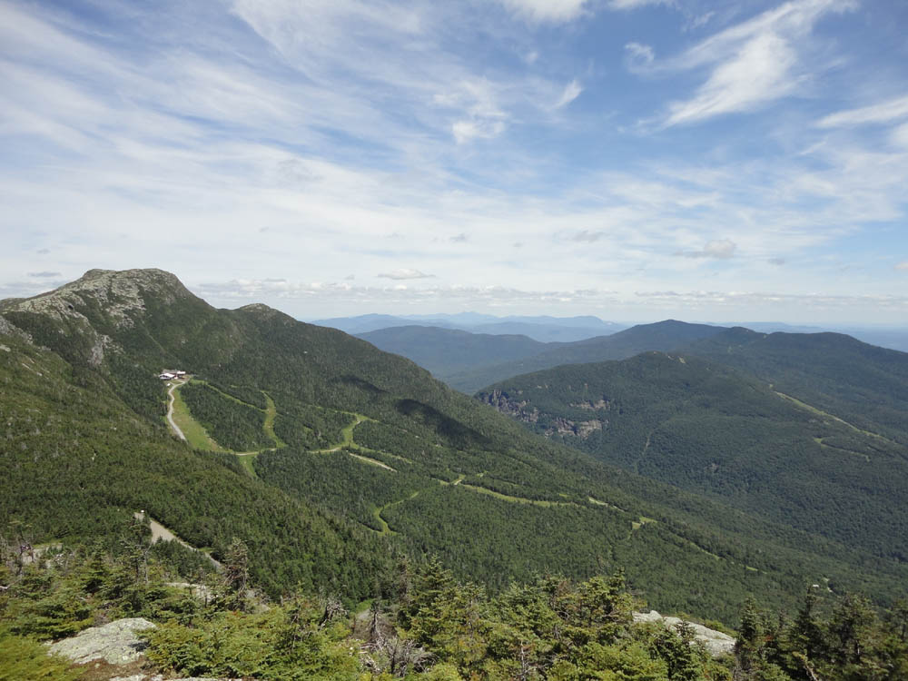
Looking at the Chin and Smugglers Notch from the Nose
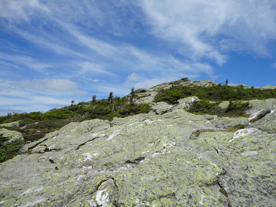
The Long Trail
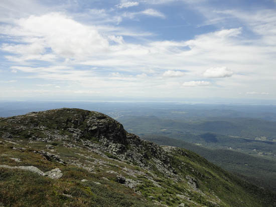
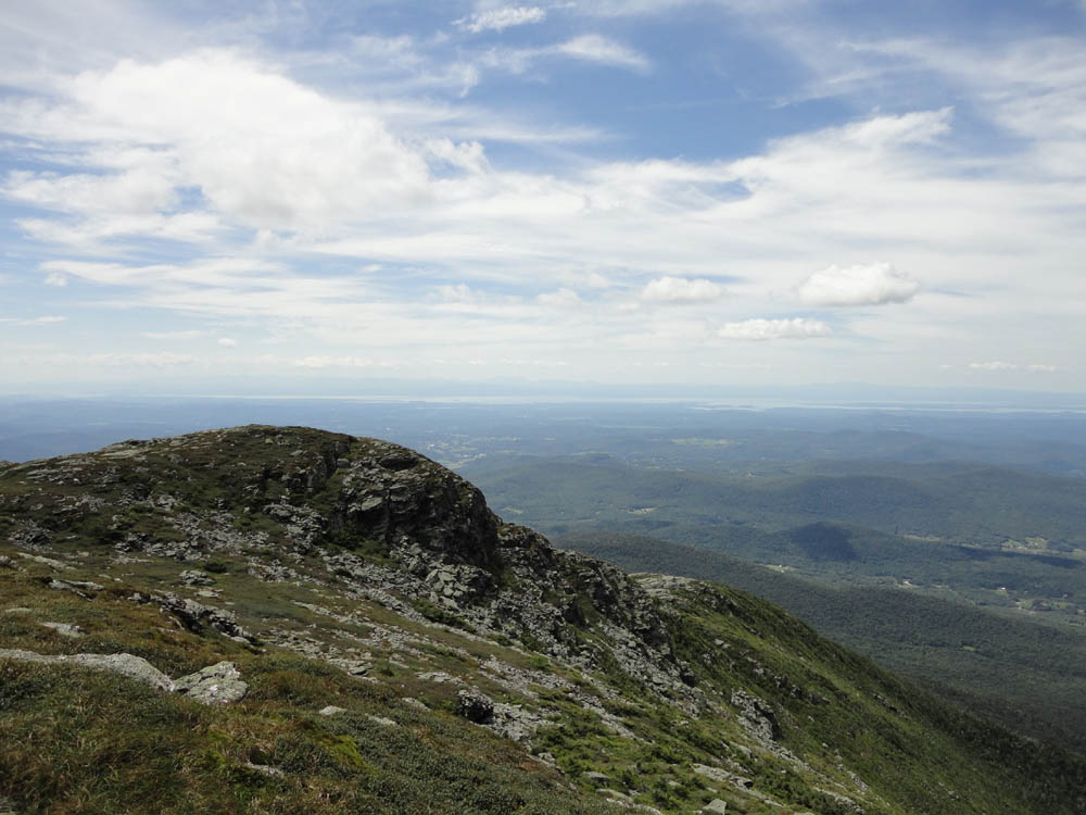
Looking toward Lake Champlain from Mt. Mansfield
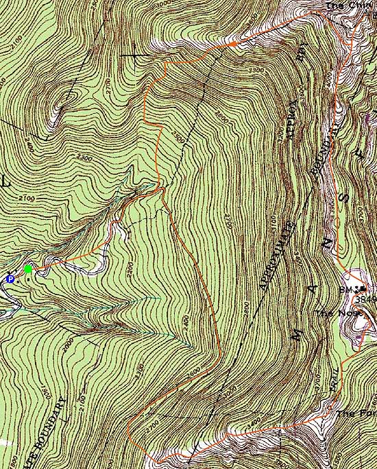

Directions to trailhead: From Underhill Center, take Pleasant Valley Road north 1.0 mile, then take a right onto Mountain Road. Upon entering Underhill State Park, there will be a parking lot on the left and the office on the right ($3 per person fee as of summer 2011).
Back to The Forehead Profile
Back to The Nose Profile
Back to Mt. Mansfield Profile
|