Home
States
Colorado
Connecticut
Maine
Massachusetts
New Hampshire
New York
Rhode Island
Utah
Vermont
View All
Lists
NE 4,000 Footers
NE 100 Highest
NH 4,000 Footers
NH 100 Highest
NH 52 With A View
NH Belknap Range
NH Ossipee 10
Links
Trail Conditions
Trip Log
Sunrises
Sunsets
About
|
Gile Mountain
Norwich, VT
Trailheads, measurements, times, distances, and maps are all approximate and relative to the hike(s) as shown below.
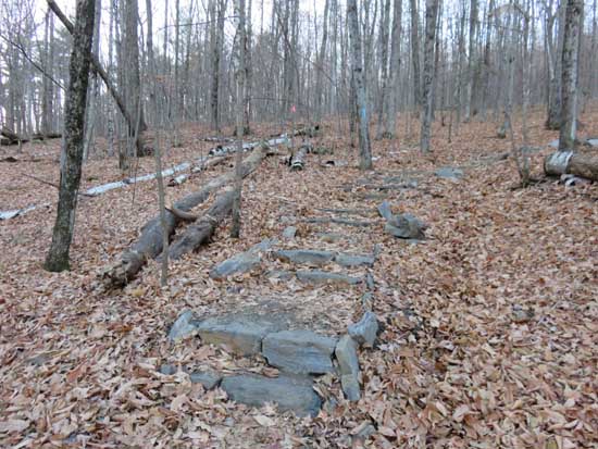
Looking up the Gile Mountain Tower Trail
Route: Gile Mountain Tower Trail
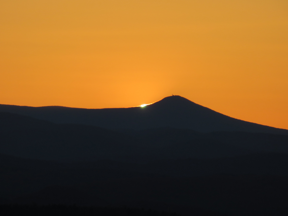
Trail was mostly dry with some minor mud where they're currently constructing new steps. Leaves are down. Nice 360 views from the tall fire tower. Good perspective as the sun set into Pico Peak.
| Hike Ratings |
|
Getting To Trailhead: |
Easy |
| Destination: |
Gile Mountain |
|
Length: |
Easy |
|
Steepness: |
Easy |
|
Navigation: |
Easy |
|
Views: |
Excellent |
|
Crowds: |
Heavy |
|
| Hike Stats |
|
Date Hiked: |
Sunday, November 8, 2015 |
| Parking Elevation: |
1,460' |
| Destination: |
Gile Mountain |
| Time Elapsed: |
00:11 |
| Trailhead Elevation: |
1,460' |
| Summit Elevation: |
1,873' |
| Vertical Gain: |
413' |
|
|
| Hike Time Elapsed: |
00:41 |
| Hike Vertical Gain: |
413' |
|
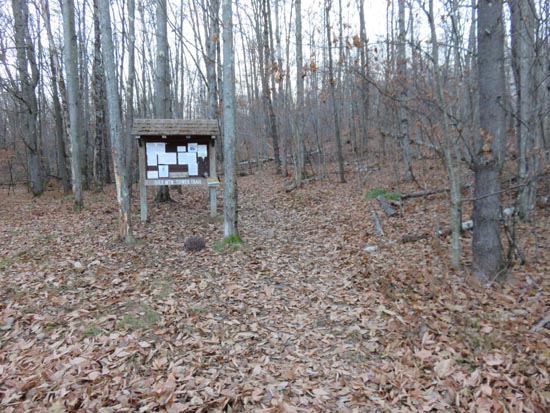
The Gile Mountain Tower Trail trailhead

The sunset from the Gile Mountain firetower
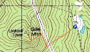

Directions to trailhead: From Exit 13 of I-91, take US 5 North into Norwich, continuing straight into the village (while US 5 turns right). Soon thereafter, take a left onto Turnpike Road. Turnpike Road eventually turns to dirt and will pass under high tension lines. The Gile Mountain Tower Trail parking lot and trailhead will eventually be on the left.
Back to Gile Mountain Profile
|