Home
States
Colorado
Connecticut
Maine
Massachusetts
New Hampshire
New York
Rhode Island
Utah
Vermont
View All
Lists
NE 4,000 Footers
NE 100 Highest
NH 4,000 Footers
NH 100 Highest
NH 52 With A View
NH Belknap Range
NH Ossipee 10
Links
Trail Conditions
Trip Log
Sunrises
Sunsets
About
|
Ludlow Mountain
Mount Holly, VT
Trailheads, measurements, times, distances, and maps are all approximate and relative to the hike(s) as shown below.
Healdville Trail
In the area on business, I was able to sneak out and hike Ludlow Mountain (Okemo). I had been meaning to hike this for awhile, however something usually came up (whether it be work, bad weather, or the Three Stooges).
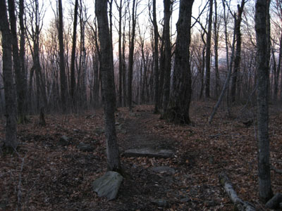
Due to the time of the season and the time of the week, the parking lot and trail were completely empty. Though seemingly well maintained, there were large blowdowns all over the place.
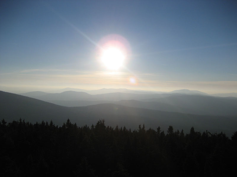
The trail itself is a moderate hike - flat in many places with a few moderate scrambles. The view from the summit tower is excellent - stronger than that of nearby Ascutney.
| Hike Ratings |
|
Getting To Trailhead: |
Easy |
| Destination: |
Ludlow Mountain |
|
Length: |
Moderate |
|
Steepness: |
Moderate |
|
Navigation: |
Easy |
|
Views: |
Excellent |
|
Crowds: |
Minimal |
|
| Hike Stats |
|
Date Hiked: |
December 20, 2006 |
| Hike Commenced: |
2:10 PM |
| Parking Elevation: |
1,443' |
| Destination: |
Ludlow Mountain |
| Ascent Commenced: |
2:10 PM |
| Summit Reached: |
3:19 PM |
| Trailhead Elevation: |
1,445' |
| Summit Elevation: |
3,343' |
| Vertical Gain: |
2,008' |
| Hike Ended: |
4:48 PM |
| Hike Distance: |
6 miles |
| Hike Vertical Gain: |
2,120' |
|
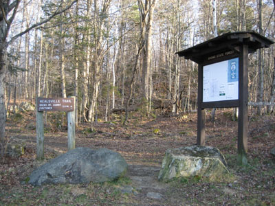
Headlville Trail trailhead near the railroad tracks
Looking west-southwest from the Ludlow Mountain summit tower
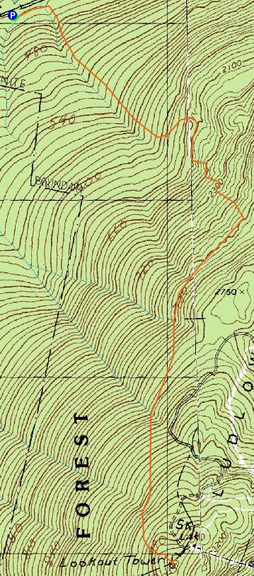

Directions to trailhead: Take Station Road west from Route 103. Take a left immediately after crossing the railroad tracks.
Back to Ludlow Mountain Profile
|