Home
States
Colorado
Connecticut
Maine
Massachusetts
New Hampshire
New York
Rhode Island
Utah
Vermont
View All
Lists
NE 4,000 Footers
NE 100 Highest
NH 4,000 Footers
NH 100 Highest
NH 52 With A View
NH Belknap Range
NH Ossipee 10
Links
Trail Conditions
Trip Log
Sunrises
Sunsets
About
|
Mt. Equinox
Manchester, VT
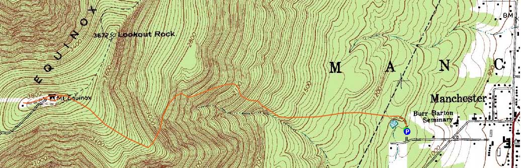
Trailheads, measurements, times, distances, and maps are all approximate and relative to the hike(s) as shown below.
The Blue Summit Trail
Route: Red Gate Trail, Blue Summit Trail, (Mt. Equinox), Blue Summit Trail, Red Gate Trail
Having previously ascended in snowy conditions with no views, I wanted to see what Mt. Equinox was really like.
After parking in a fairly new parking area off West Union Street, I headed up the main access trail, past a new kiosk (with trail maps), working my way through crowds of people. Eventually, as various shorter trails peeled off, the crowds did too.
The Blue Summit Trail had good footing for much of the ascent. Initially a series of dirt roads, the trail eventually turned off the roadgrade and ascended steeply for some time, working through nice woods. Nearing the summit, the grade eased a bit as the trail worked through spruce woods, by a communications tower, and eventually to the summit hotel (closed).
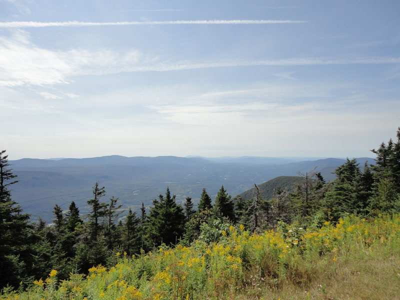
While I expected there would be people on the summit due to the auto road, I was a bit surprised to see some sort of antique car race in progress. Looking around the summit area, I found two good viewpoints around the hotel - one looking south toward Mt. Greylock and one looking northeast. While I was hoping to find some good views into New York, I was unable to find any (there was a series of towers west of the hotel, but they were fenced off).
The descent went smoothly enough and eventually I was back at the parking lot - interestingly enough, things around the base area were much quieter than the quasi-stampede a few hours earlier.
| Hike Ratings |
|
Getting To Trailhead: |
Easy |
| Destination: |
Mt. Equinox |
|
Length: |
Moderate |
|
Steepness: |
Difficult |
|
Navigation: |
Easy |
|
Views: |
Excellent |
|
Crowds: |
Heavy |
|
| Hike Stats |
| Date Hiked: |
Saturday, August 21, 2010 |
| Hike Commenced: |
9:52 AM |
| Parking Elevation: |
1,170' |
| Destination: |
Mt. Equinox |
| Ascent Commenced: |
9:52 AM |
| Summit Reached: |
11:03 AM |
| Time Elapsed: |
01:11 |
| Trailhead Elevation: |
1,170' |
| Summit Elevation: |
3,848' |
| Vertical Gain: |
2,688' |
|
|
| Hike Ended: |
12:39 PM |
| Hike Time Elapsed: |
02:47 |
| Hike Vertical Gain: |
2,708' |
|
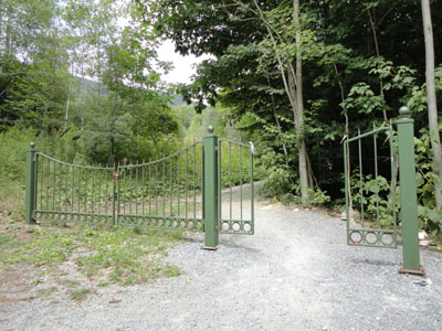
The Red Gate Trail trailhead
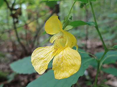
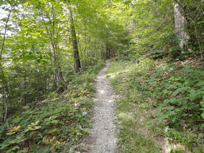
A wildflower along the Blue Summit Trail
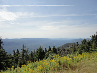
Looking south toward Mt. Greylock from Mt. Equinox

Directions to trailhead: Take Route 7A south from Manchester, then take a right shortly after the small rotary onto Seminary Avenue. Past the big building, take a right onto West Union Street. Shortly thereafter, there will be a parking lot on the right. The trail starts behind the green gate at the back of the lot.
Back to Mt. Equinox Profile
|