Home
States
Colorado
Connecticut
Maine
Massachusetts
New Hampshire
New York
Rhode Island
Utah
Vermont
View All
Lists
NE 4,000 Footers
NE 100 Highest
NH 4,000 Footers
NH 100 Highest
NH 52 With A View
NH Belknap Range
NH Ossipee 10
Links
Trail Conditions
Trip Log
Sunrises
Sunsets
About
|
Mt. Tom
Woodstock, VT
Trailheads, measurements, times, distances, and maps are all approximate and relative to the hike(s) as shown below.
One of many carriage roads on Mt. Tom, which were apparently the inspiration for Acadia's
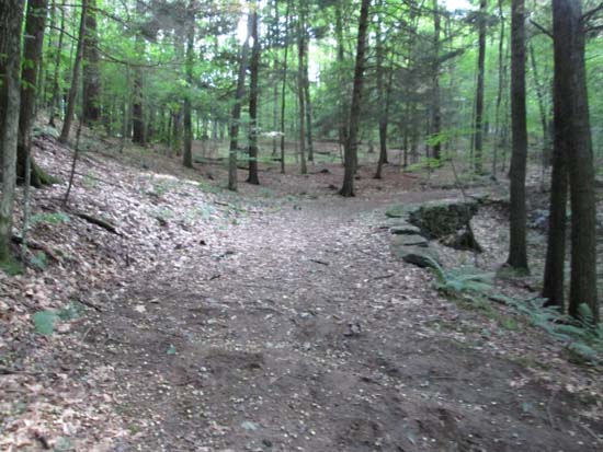
Route: Mountain Road, Upper Mountain Road, North Peak Trail, bushwhack, Billings Trail, Mt. Tom Road, Precipice Trail
Trails were generally dry and in good shape.
Some very nice, old rock masonry on the trails. The lower carriage roads are nice, smooth walking. There are a bunch of trails and roads, so having a map helps (but still isn't adequate). We took the North Peak Trail the wrong direction in one spot, so opted to bushwhack up when we realized we were heading too far north and soon ran into the Billings Trail, which took us to the vicinity of the wooded summit.
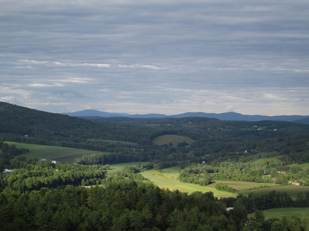
From there, we descended down to the Mt. Tom Road carriage road to the South Peak, from where there were multiple good viewpoints (west, south, east). Probably much stronger views when the leaves are down.
Adajcent to the large star, we descended the Precipice Trail, which was quite impressive. Though not technical in nature, it descends on cliff shelves (cable railing on one side) and would not be recommended for those who don't like heights. Fun trail with generally decent footing thanks to the old rock work.
Overall, quite a nice trail network that could warrant a lot of exploring.
| Hike Ratings |
|
Getting To Trailhead: |
Easy |
| Destination: |
Mt. Tom |
|
Length: |
Moderate |
|
Steepness: |
Moderate |
|
Navigation: |
Moderate |
|
Views: |
Excellent |
|
Crowds: |
Heavy |
|
| Hike Stats |
|
Date Hiked: |
Saturday, August 23, 2014 |
| Parking Elevation: |
690' |
| Destination: |
Mt. Tom |
| Time Elapsed: |
00:37 |
| Trailhead Elevation: |
700' |
| Summit Elevation: |
1,350' |
| Vertical Gain: |
680' |
|
|
| Hike Time Elapsed: |
01:26 |
| Hike Vertical Gain: |
750' |
|
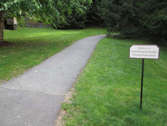
The hiking trail trailhead at the Billings Farm and Museum
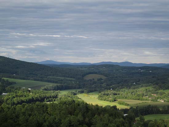
Looking toward New Hampshire from the south peak of Mt. Tom
Directions to trailhead: From Woodstock, take Route 12 North. The Billings Farm and Museum parking lots will soon be on the right.
Back to Mt. Tom Profile
|