Home
States
Colorado
Connecticut
Maine
Massachusetts
New Hampshire
New York
Rhode Island
Utah
Vermont
View All
Lists
NE 4,000 Footers
NE 100 Highest
NH 4,000 Footers
NH 100 Highest
NH 52 With A View
NH Belknap Range
NH Ossipee 10
Links
Trail Conditions
Trip Log
Sunrises
Sunsets
About
|
Mt. Tom (South Peak)
Woodstock, VT
Trailheads, measurements, times, distances, and maps are all approximate and relative to the hike(s) as shown below.
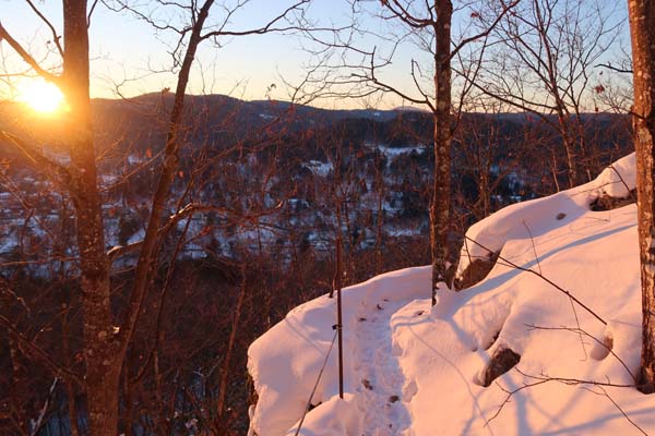
The upper Faulkner Trail
Route: Faulkner Trail
Faulkner Trail from Mountain Avenue to the first viewpoint was very well packed. I wore snowshoes, but the trail has been well packed by bareboots. Above the viewpoint, not as much use, but still bootable. The carriage road at the top of South Peak was groomed. I did not venture to North Peak (highpoint).
I hope to return to this trail without snow, as it looks absolutely amazing with all sorts of rock work. Very gradual up to the first viewpoint with many gradual switchbacks.
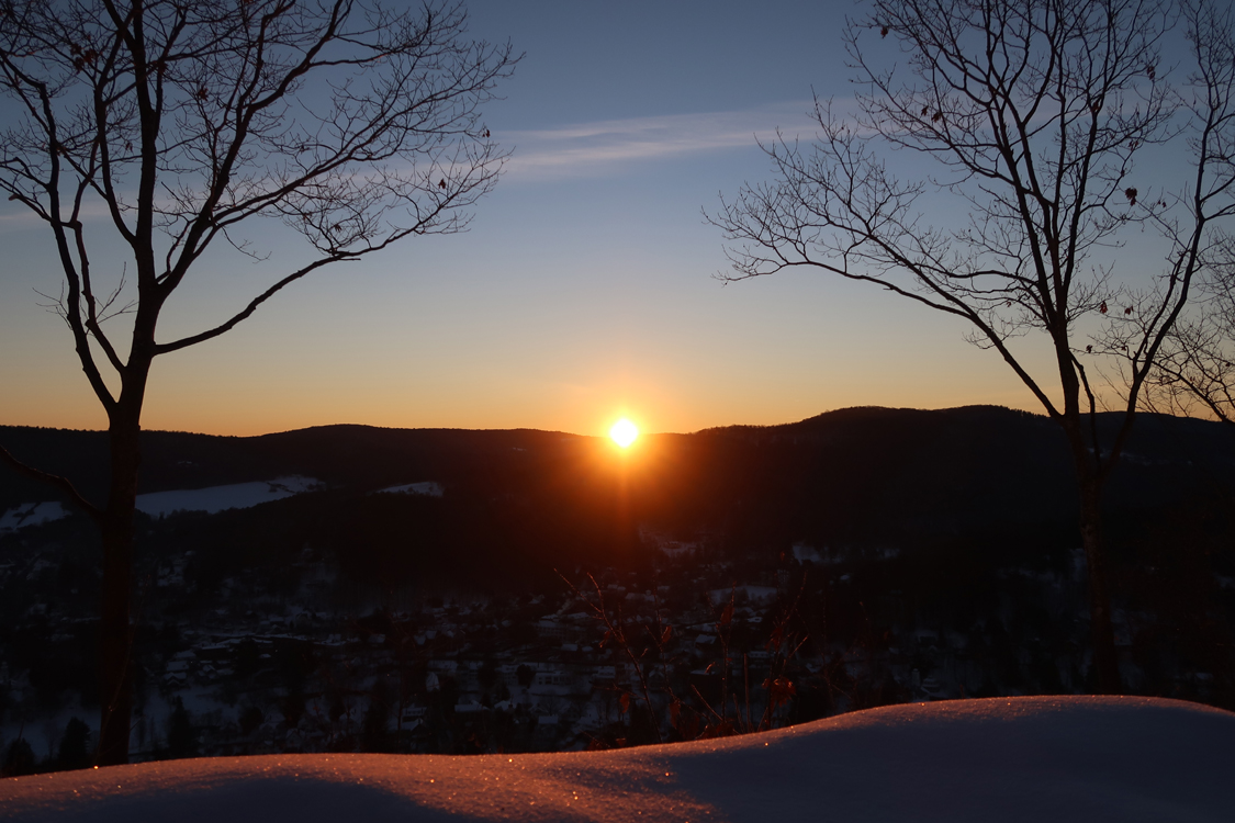
Nice sunrise on the way to skiing.
| Hike Ratings |
|
Getting To Trailhead: |
Easy |
| Destination: |
Mt. Tom (South Peak) |
|
Length: |
Easy |
|
Steepness: |
Moderate |
|
Navigation: |
Easy |
|
Views: |
Excellent |
|
Crowds: |
Minimal |
|
| Hike Stats |
|
Date Hiked: |
Wednesday, January 10, 2018 |
| Parking Elevation: |
690' |
| Destination: |
Mt. Tom (South Peak) |
| Time Elapsed: |
00:24 |
| Trailhead Elevation: |
700' |
| Summit Elevation: |
1,250' |
| Vertical Gain: |
560' |
|
|
| Hike Time Elapsed: |
00:51 |
| Hike Vertical Gain: |
570' |
|
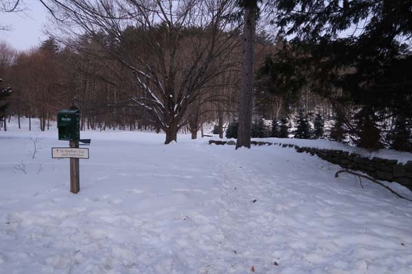
Faulkner Park
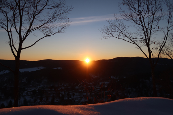
The sunrise from the south peak of Mt. Tom
Directions to trailhead: From Woodstock, cross the covered bridge on Mountain Avenue, cross River Street, and bear left. Faulkner Park will be on the right, with on-street parking.
Back to Mt. Tom (South Peak) Profile
|