Home
States
Colorado
Connecticut
Maine
Massachusetts
New Hampshire
New York
Rhode Island
Utah
Vermont
View All
Lists
NE 4,000 Footers
NE 100 Highest
NH 4,000 Footers
NH 100 Highest
NH 52 With A View
NH Belknap Range
NH Ossipee 10
Links
Trail Conditions
Trip Log
Sunrises
Sunsets
About
|
Salt Ash Mountain
Shrewsbury, VT, Plymouth, VT
Trailheads, measurements, times, distances, and maps are all approximate and relative to the hike(s) as shown below.
Snowmobile corridor 7 prior to bushwhacking to Salt Ash Mountain
Route: Logging road, snowmobile trail, bushwhack
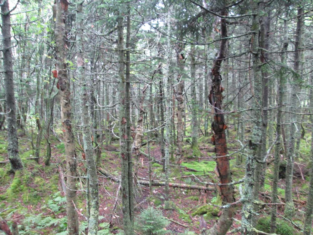
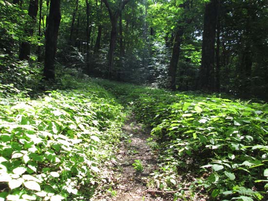
We started off walking the logging road extension of Salt Ash Road, up to the landing around 2,350 feet. From there, we followed snowmobile corridor 7 if I recall correctly (not too wet), which gradually climbed then slabbed east/southeast. Once we were on the south side of the mountain, we bushwhacked up through generally decent woods, though a bit wet from the previous day's rains. There were some prickers to deal with in places, and the terrain steepened a bit and transitioned into mixed softwoods near the top. No views to be had from the summit, but I suspect there could be some when the leaves are down. Some views south/southwest from some glades as well.
| Hike Ratings |
|
Getting To Trailhead: |
Moderate |
| Destination: |
Salt Ash Mountain |
|
Length: |
Moderate |
|
Steepness: |
Difficult |
|
Navigation: |
Difficult |
|
Views: |
Minimal |
|
Crowds: |
Minimal |
|
| Hike Stats |
|
Date Hiked: |
Saturday, August 23, 2014 |
| Parking Elevation: |
2,270' |
| Destination: |
Salt Ash Mountain |
| Time Elapsed: |
00:45 |
| Trailhead Elevation: |
2,370' |
| Summit Elevation: |
3,286' |
| Vertical Gain: |
936' |
|
|
| Hike Time Elapsed: |
01:45 |
| Hike Vertical Gain: |
1,056' |
|
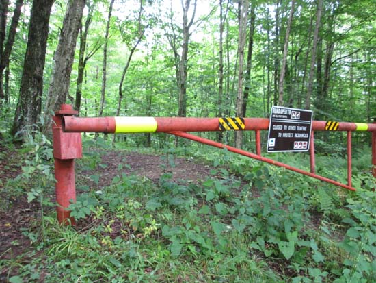
The gate on snowmobile corridor 7
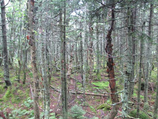
A lack of views on Salt Ash Mountain
Directions to trailhead: From Shunpike Road in Mt. Holly, take Shrewsbury Road north, which eventually becomes Mt. Holly Road. At the junction with Eastham Road, take a right onto Eastham Road, then take a left onto Bailey Road. Take a right onto Salt Ash Road, soon after bearing a right at a fork. Low clearance vehicles may have issues at this point. In summer 2014, a high clearance vehicle could make it most of the way to the snowmobile corridor 7 junction.
Back to Salt Ash Mountain Profile
|