Home
States
Colorado
Connecticut
Maine
Massachusetts
New Hampshire
New York
Rhode Island
Utah
Vermont
View All
Lists
NE 4,000 Footers
NE 100 Highest
NH 4,000 Footers
NH 100 Highest
NH 52 With A View
NH Belknap Range
NH Ossipee 10
Links
Trail Conditions
Trip Log
Sunrises
Sunsets
About
|
Stratton Mountain
North Stratton Mountain
Stratton, VT
Trailheads, measurements, times, distances, and maps are all approximate and relative to the hike(s) as shown below.
Long Trail/Appalachian Trail to Stratton Mountain summit
Stratton Mountain from the Grout Pond area is a fairly long, but easy hike. The hardest part for me was finding the trailhead - I ended up taking a very wet 7N up to an intersection with the Long/Appalachian Trails. In better conditions, this might be a better way to access the summit, rather than taking the Long/Appalachian trailhead further west down the road.
The hike itself is pretty boring - if the leaves are still up, you won't see much until you climb the fire tower. Beyond that, the hike to the ski area summit (North Stratton Mountain on some maps) is easy and rewarding - there are views in three directions that do not require climbing a tower.
| Hike Ratings |
|
Getting To Trailhead: |
Difficult |
| Destination: |
Stratton Mountain |
|
Length: |
Moderate |
|
Steepness: |
Moderate |
|
Navigation: |
Easy |
|
Views: |
Excellent |
|
Crowds: |
Moderate |
| Destination: |
North Stratton Mountain (ski area summit) |
|
Length: |
Difficult |
|
Steepness: |
Easy |
|
Navigation: |
Easy |
|
Views: |
Excellent |
|
Crowds: |
Moderate |
|
| Hike Stats |
|
Date Hiked: |
Sunday, September 10, 2006 |
| Hike Commenced: |
10:37 AM |
| Parking Elevation: |
2,350' |
| Destination: |
Stratton Mountain |
| Ascent Commenced: |
10:37 AM at 7N trailhead |
| Summit Reached: |
12:03 PM |
| Trailhead Elevation: |
2,360' |
| Summit Elevation: |
3,936' |
| Vertical Gain: |
1,726' |
| Destination: |
North Stratton Mountain |
| Ascent Commenced: |
12:16 PM |
| Summit Reached: |
12:31 PM |
| Trailhead Elevation: |
3,936' |
| Summit Elevation: |
3,875' |
| Vertical Gain: |
70' |
| Hike Ended: |
3:00 PM |
| Hike Vertical Gain: |
2,278' |
|
7N trailhead at Kelly Stand parking lot
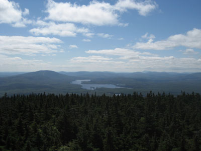
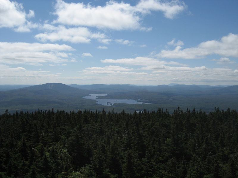
View from firetower looking south at Mt. Snow, Somerset Reservoir, and Mt. Greylock (very distant)
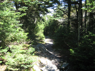
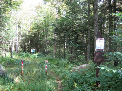
Trailhead at Stratton summit to connect to North Stratton
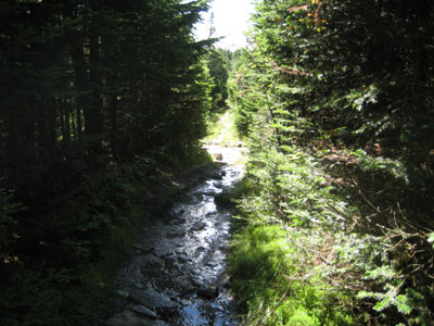
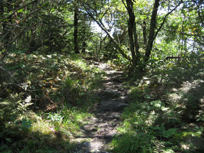
Trail to North Stratton
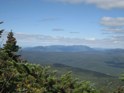
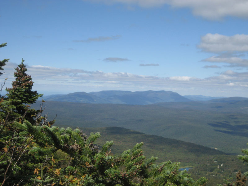
Looking northwest from near North Stratton summit
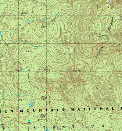

Directions to trailhead: Take 100 North from Wilmington, look for Stratton-Arlington Road on the left after a descending down a hill. There will be a three way intersection in Stratton - a sign pointing you to the right to get to the ski area. Go straight instead. Continue down this road, past the Kelly Stand parking area. The road will turn to dirt. Soon thereafter, the Long/Appalachian trailhead will be on your right, just before a brook.
Back to Stratton Mountain profile
Back to North Stratton Mountain profile
|