Home
States
Colorado
Connecticut
Maine
Massachusetts
New Hampshire
New York
Rhode Island
Utah
Vermont
View All
Lists
NE 4,000 Footers
NE 100 Highest
NH 4,000 Footers
NH 100 Highest
NH 52 With A View
NH Belknap Range
NH Ossipee 10
Links
Trail Conditions
Trip Log
Sunrises
Sunsets
About
|
Mt. Williams, Mt. Fitch, Mt. Greylock
North Adams, MA, Williamstown, MA, Adams, MA
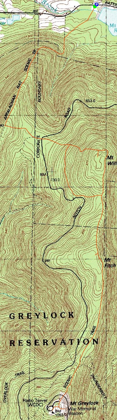
Trailheads, measurements, times, distances, and maps are all approximate and relative to the hike(s) as shown below.
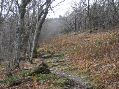
Appalachian Trail to Mt. Fitch
In terms of seeing views, I don't have the best of luck in hiking Mt. Greylock. My second attempt this year - and second partly sunny forecast (during time hiking) - resulting in low visibility. This day seemed to be somewhat of an undercast - the summit was clear and sunny, however looking down into the valleys (and being below about 2800' or so) was hazy/foggy.
The Appalachian Trail was pretty quiet on my ascent, as I saw next to no one. The summit was also abandoned - a moment of irony in seeing the war memorial (and Bascom Lodge) all boarded up on Veteran's Day weekend.
| Hike Ratings |
|
Getting To Trailhead: |
Easy |
| Destination: |
Mt. Williams |
|
Length: |
Moderate |
|
Steepness: |
Difficult |
|
Navigation: |
Easy |
|
Views: |
Excellent |
|
Crowds: |
Minimal |
| Destination: |
Mt. Fitch |
|
Length: |
Difficult |
|
Steepness: |
Moderate |
|
Navigation: |
Easy |
|
Views: |
Minimal |
|
Crowds: |
Minimal |
| Destination: |
Mt. Greylock |
|
Length: |
Difficult |
|
Steepness: |
Moderate |
|
Navigation: |
Easy |
|
Views: |
Excellent |
|
Crowds: |
Minimal |
|
| Hike Stats |
|
Date Hiked: |
Saturday, November 11, 2006 |
| Hike Commenced: |
10:32 AM |
| Parking Elevation: |
1,000' |
| Destination: |
Mt. Williams |
| Ascent Commenced: |
10:33 AM |
| Summit Reached: |
11:14 AM |
| Time Elapsed: |
00:41 |
| Trailhead Elevation: |
1,000' |
| Summit Elevation: |
2,951' |
| Vertical Gain: |
2,148' |
| Destination: |
Mt. Fitch |
| Ascent Commenced: |
11:14 AM |
| Summit Reached: |
11:40 AM |
| Time Elapsed: |
00:26 |
| Trailhead Elevation: |
2,951' |
| Summit Elevation: |
3,110' |
| Vertical Gain: |
335' |
| Destination: |
Mt. Greylock |
| Ascent Commenced: |
11:40 AM |
| Summit Reached: |
12:12 PM |
| Time Elapsed: |
00:32 |
| Trailhead Elevation: |
3,110' |
| Summit Elevation: |
3,491' |
| Vertical Gain: |
491' |
|
|
| Hike Ended: |
1:50 PM |
| Hike Time Elapsed: |
03:18 |
| Hike Vertical Gain: |
3,706' |
|
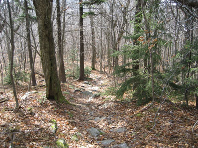
Appalachain Trail trailhead
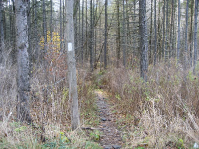
Appalachain Trail to Mt. Williams
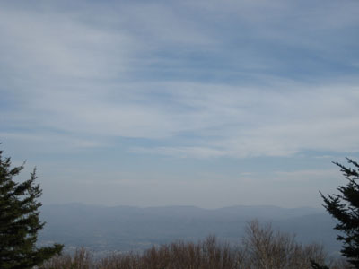
Mt. Williams summit, looking east
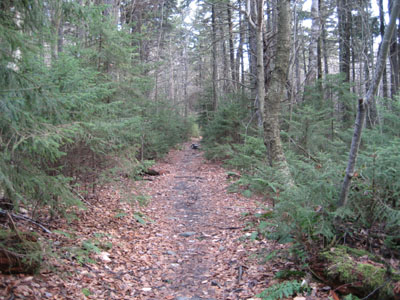
Appalachian Trail to Mt. Greylock
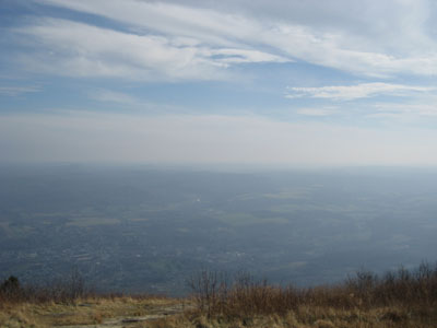
Mt. Greylock summit, looking southeast
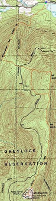

Directions to trailhead: Take Notch Road southwest from Route 2. At the fork in the road (Mt. Greylock Reservation sign), take a right and continue past the reservoir. Shortly after, there's a small sign for the Appalachian Trail and some dirt parking spots on either side of the road.
Back to Mt. Williams Profile
Back to Mt. Fitch Profile
Back to Mt. Greylock Profile
|