Home
States
Colorado
Connecticut
Maine
Massachusetts
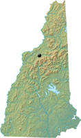
New Hampshire
New York
Rhode Island
Utah
Vermont
View All
Lists
NE 4,000 Footers
NE 100 Highest
NH 4,000 Footers
NH 100 Highest
NH 52 With A View
NH Belknap Range
NH Ossipee 10
Links
Trail Conditions
Trip Log
Sunrises
Sunsets
About
|
Mt. Agassiz
Bethlehem, NH
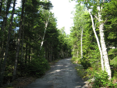
The road up Mt. Agassiz
 Summary Summary
Standing over Bethlehem, New Hampshire, Mt. Agassiz is named after Louis Agassiz. The mountain was once home to skiing, a toll auto road, and an observation tower. There are excellent southern views from near the summit.
Summit Elevation
2,378'
Summit Facilities
Observatory and tower (closed).
Trip Reports:
Click on the date for photos, timestamps, and maps.
More Information
- Mt. Agassiz Ski Area - New England's Cancelled Ski Areas
- Mt. Agassiz Development - New England Lost Ski Areas Project
- Louis Agassiz - Wikipedia - the mountain's namesake
|
