Home
States
Colorado
Connecticut
Maine
Massachusetts
New Hampshire
New York
Rhode Island
Utah
Vermont
View All
Lists
NE 4,000 Footers
NE 100 Highest
NH 4,000 Footers
NH 100 Highest
NH 52 With A View
NH Belknap Range
NH Ossipee 10
Links
Trail Conditions
Trip Log
Sunrises
Sunsets
About
|
Mt. Bemis
Harts Location, NH, Livermore, NH
Trailheads, measurements, times, distances, and maps are all approximate and relative to the hike(s) as shown below.
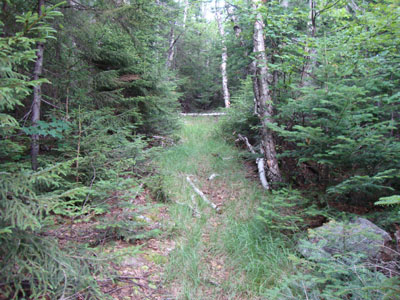
Looking up the abandoned Mt. Bemis Trail
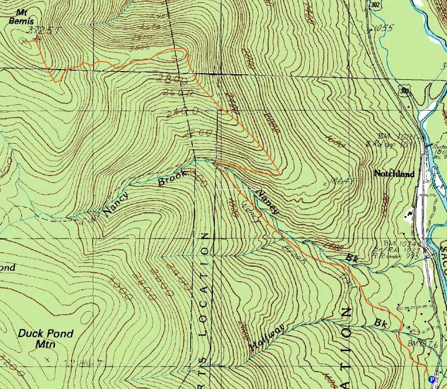
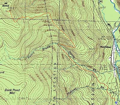
Route: Nancy Pond Trail, Mt. Bemis Trail, bushwhack, (Mt. Bemis), bushwhack, Mt. Bemis Trail, Nancy Pond Trail
After only needing the morning to hike Bear Mountain, we decided to do a relatively quick hike to Mt. Bemis. Unfortunately, we had seen an incorrect mileage estimate, so the hike would take a bit longer than expected.
Starting on the Nancy Pond Trail, we turned onto the abandoned Mt. Bemis Trail just after the Nancy Brook crossing. Though technically abandoned for decades, the trail was generally pretty easy to follow. Prior to reaching the first subpeak, there weren't too many blowdowns to deal with. In addition, the footing was tremendous.
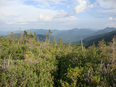
Around the first subpeak, there were quite a few blowdowns to deal with (climb over/crawl under), though it wasn't as bad as I thought it would be. Shortly thereafter, we climbed up onto a quasi-alpine-zone knoll, where we had superb views in all directions. In addition, there was a bunch of bog laurel still in bloom.
From there, the trail dropped back into the woods, then climbed up to the remains of the Mt. Bemis fire tower. Unfortunately, the views weren't nearly as strong as on the knoll. Nonetheless, there were some directional views slightly downhill from the tower site (near some planks).
From the tower site, I bushwhacked through some rather thick spruce into a col and up to the viewless true summit - blah.
Back on the knoll, we took some more photos, then proceeded back to US 302, reaching the parking area prior to sunset.
| Hike Ratings |
|
Getting To Trailhead: |
Easy |
| Destination: |
Mt. Bemis |
|
Length: |
Moderate |
|
Steepness: |
Difficult |
|
Navigation: |
Difficult |
|
Views: |
Moderate |
|
Crowds: |
Minimal |
|
| Hike Stats |
|
Date Hiked: |
Sunday, July 11, 2010 |
| Hike Commenced: |
2:05 PM |
| Parking Elevation: |
940' |
| Destination: |
Mt. Bemis |
| Ascent Commenced: |
2:05 PM |
| Summit Reached: |
5:19 PM |
| Time Elapsed: |
03:14 |
| Trailhead Elevation: |
940' |
| Summit Elevation: |
3,725' |
| Vertical Gain: |
2,935' |
|
|
| Hike Ended: |
7:49 PM |
| Hike Time Elapsed: |
05:44 |
| Hike Vertical Gain: |
3,085' |
|
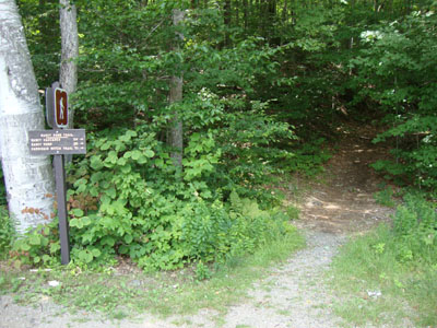
The Nancy Pond Trail trailhead of US 302
Looking down the abandoned Mt. Bemis Trail on the knoll

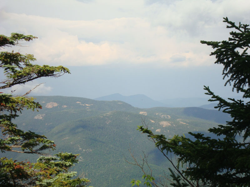
Looking at Mt. Crawford and Mt. Resolution from near the old fire tower on the subpeak of Mt. Bemis

Directions to trailhead: Take US 302 West from Bartlett. Shortly after passing Sawyer River Road (but prior to passing the Davis Path parking area), the small dirt parking area and trailhead for the Nancy Pond Trail will be on the left.
Back to Mt. Bemis Profile
|