Home
States
Colorado
Connecticut
Maine
Massachusetts
New Hampshire
New York
Rhode Island
Utah
Vermont
View All
Lists
NE 4,000 Footers
NE 100 Highest
NH 4,000 Footers
NH 100 Highest
NH 52 With A View
NH Belknap Range
NH Ossipee 10
Links
Trail Conditions
Trip Log
Sunrises
Sunsets
About
|
Mt. Eisenhower
Bean's Grant, NH, Chandler's Purchase, NH, Sargent's Purchase, NH
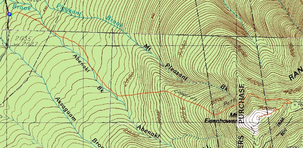
Trailheads, measurements, times, distances, and maps are all approximate and relative to the hike(s) as shown below.
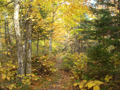
Looking up the Edmands Path
Route: Edmands Path, Eisenhower Loop, (Mt. Eisenhower), Eisenhower Loop, Edmands Path
According to the forecast, the clouds were supposed to hold off until the night. Unfortunately, as I approached Crawford Notch, there was little blue sky to be seen. Nonetheless, I decided to take my chances and go for a sunset hike on Mt. Eisenhower.
The Edmands Path was a bit wet after the flats - and, as it neared the treeline, icy.
The views from the top were decent, despite the clouds. Some of the Vermont 4,000 footers, Pleasant Mountain in Maine, and even the Belknaps to the south were all visible.
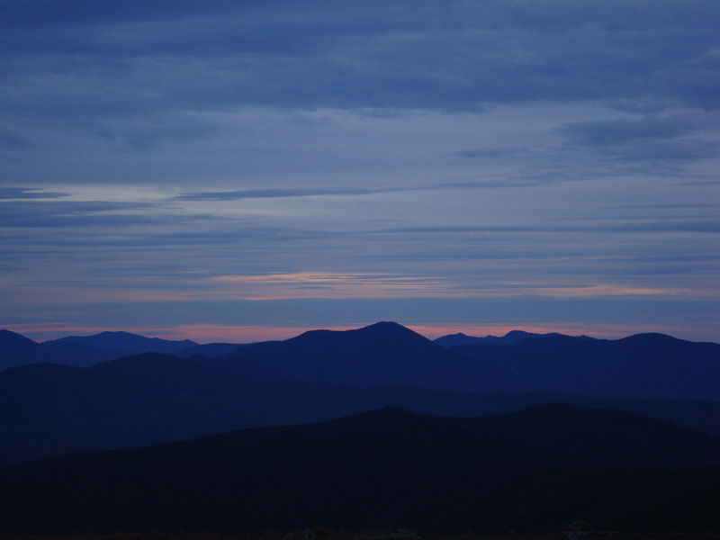
I had the summit to myself for the 40 minutes I waited for sunset colors. While the sun set without any color at all into the thick clouds, there was some nice color to the south.
The walk back down seemed to take a bit longer than I thought it would, as the wet condition of the rocky trail forced me to proceed slowly.
| Hike Ratings |
|
Getting To Trailhead: |
Easy |
| Destination: |
Mt. Eisenhower |
|
Length: |
Moderate |
|
Steepness: |
Moderate |
|
Navigation: |
Easy |
|
Views: |
Excellent |
|
Crowds: |
Minimal |
|
| Hike Stats |
|
Date Hiked: |
Wednesday, October 8, 2008 |
| Hike Commenced: |
4:18 PM |
| Parking Elevation: |
1,975' |
| Destination: |
Mt. Eisenhower |
| Ascent Commenced: |
4:18 PM |
| Summit Reached: |
5:44 PM |
| Time Elapsed: |
01:26 |
| Trailhead Elevation: |
1,980' |
| Summit Elevation: |
4,780' |
| Distance: |
3.3 miles |
| Vertical Gain: |
2,860' |
|
|
| Hike Ended: |
7:59 PM |
| Hike Time Elapsed: |
03:41 |
| Hike Distance: |
6.6 miles |
| Hike Vertical Gain: |
2,925' |
|
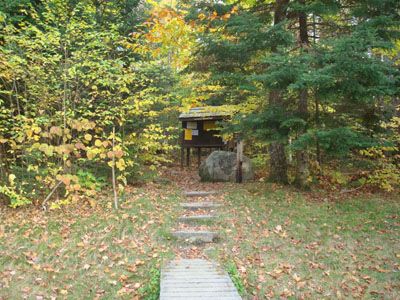
The Edmands Path trailhead
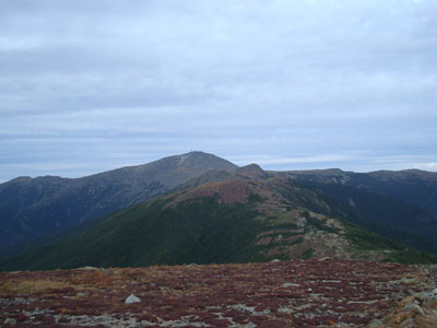
Looking at Mt. Franklin, Mt. Monroe, and Mt. Washington from the Mt. Eisenhower summit
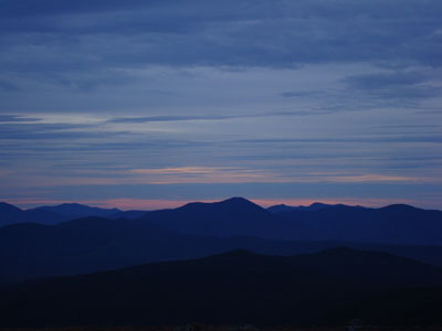
Sunset colors over Mt. Carrigain as seen from Mt. Eisenhower
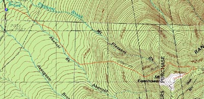

Directions to trailhead: Take Route 302 West from Bartlett into Carroll. Just after Saco Lake, take a right onto Mt. Clinton Road. Take this road for a few minutes. The Edmand Path trailhead and small WMNF fee parking area will be on the right.
Back to Mt. Eisenhower Profile
|