Home
States
Colorado
Connecticut
Maine
Massachusetts
New Hampshire
New York
Rhode Island
Utah
Vermont
View All
Lists
NE 4,000 Footers
NE 100 Highest
NH 4,000 Footers
NH 100 Highest
NH 52 With A View
NH Belknap Range
NH Ossipee 10
Links
Trail Conditions
Trip Log
Sunrises
Sunsets
About
|
Mt. Eisenhower, Mt. Pierce, Mt. Jackson
Bean's Grant, NH, Chandler's Purchase, NH, Sargent's Purchase, NH
Trailheads, measurements, times, distances, and maps are all approximate and relative to the hike(s) as shown below.
The Eisenhower Loop
Route: Crawford Path, Eisenhower Loop, (Mt. Eisenhower), Eisenhower Loop, Crawford Path, Webster Cliff Trail, (Mt. Pierce), Webster Cliff Trail, (Mt. Jackson), Webster-Jackson Trail
While the forecast wasn't superb, it did show dropping winds and potential clearing.
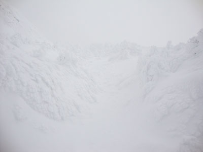
Snowing at a decent pace in Crawford Notch, the ascent went okay, though there was some trailbreaking necessary above the Mizpah Cutoff on the Crawford Path. The trail essentially vanished at that point due to large snowdrifts and little visibility. While I was able to stay near the corridor based upon memory, I did find myself on a crag at one point. After some searching, I found the entrance back into the scrub, blocked by a five foot snowdrift.
I was eventually able to locate some cairns, which slowed my pace as I had to take the time to clean them off, to ensure a safe return. Visibility dropped even more as I climbed the Eisenhower Loop - with everything white, the occasional whiteout make travel tricky. Memorization of the trail once again helped, as I was able to hit the switchbacks properly and eventually reach the summit.
The return trip went a bit faster, as I was able to follow my cleaned off cairns and generally connect the sections of trail I had slightly missed. Nearing Mt. Pierce, however, I lost the trail again and opted to just cut across a snowfield (visibility had improved to maybe 50-100 feet).
Visbility was still pretty bad on Mt. Pierce, so I continued onward, following fresh tracks - a big mistake. These tracks led to a maze of trails dropping off the east side of the peak. I quickly lost my orientation and had to pull out my compass again to ensure I could find my way back up to the summit (as my tracks down each of the paths would quickly get covered with new snowfall). As luck would have it, I pushed through some trees and found my way to the south peak and back onto the trail proper, soon reaching the Mizpah Hut.
From here, the trail was freshly broken out (certainly not by the same group) heading toward Jackson. Soon catching up to this group, we reached the area in which previous hikers had run into confusion and dropped off the west side of the ridge. Knowing this to be the case, I opted not to follow those tracks, and instead bushwhack along the height of the ridge, running into the trail (and subsequently losing it) many times. Due to deep drifts and blowdowns, along with sparse white blazes, following the trail proper was all but impossible.
Nonetheless, we eventually reached the side of Mt. Jackson and were soon standing at the summit - perhaps the windiest portion of the day for me (despite being the lowest peak). Once again, no views due to the snowstorm, so we quickly dropped onto the Webster-Jackson Trail (much easier to follow).
In ideal winter conditions, I would have expected this to be a moderate half day hike. Instead, it turned into a full day workout.
| Hike Ratings |
|
Getting To Trailhead: |
Easy |
| Destination: |
Mt. Eisenhower |
|
Length: |
Moderate |
|
Steepness: |
Moderate |
|
Navigation: |
Very Difficult |
|
Views: |
Minimal (due to weather) |
|
Crowds: |
Minimal |
| Destination: |
Mt. Pierce |
|
Length: |
Moderate |
|
Steepness: |
Moderate |
|
Navigation: |
Very Difficult |
|
Views: |
Minimal (due to weather) |
|
Crowds: |
Moderate |
| Destination: |
Mt. Jackson |
|
Length: |
Difficult |
|
Steepness: |
Difficult |
|
Navigation: |
Very Difficult |
|
Views: |
Minimal (due to weather) |
|
Crowds: |
Minimal |
|
| Hike Stats |
|
Date Hiked: |
Sunday, February 21, 2010 |
| Hike Commenced: |
7:54 AM |
| Parking Elevation: |
1,900' |
| Destination: |
Mt. Eisenhower |
| Ascent Commenced: |
7:56 AM |
| Summit Reached: |
11:20 AM |
| Time Elapsed: |
03:34 |
| Trailhead Elevation: |
1,910' |
| Summit Elevation: |
4,780' |
| Vertical Gain: |
3,300 |
| Destination: |
Mt. Pierce |
| Ascent Commenced: |
11:20 AM |
| Summit Reached: |
12:16 PM |
| Time Elapsed: |
00:56 |
| Trailhead Elevation: |
4,780' |
| Summit Elevation: |
4,310' |
| Vertical Gain: |
420' |
| Destination: |
Mt. Jackson |
| Ascent Commenced: |
12:16 PM |
| Summit Reached: |
2:44 PM |
| Time Elapsed: |
02:28 |
| Trailhead Elevation: |
4,310' |
| Summit Elevation: |
4,052' |
| Vertical Gain: |
558' |
|
|
| Hike Ended: |
3:51 PM |
| Hike Time Elapsed: |
07:57 |
| Hike Vertical Gain: |
4,463' |
|
The Crawford Path trailhead
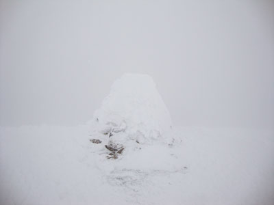
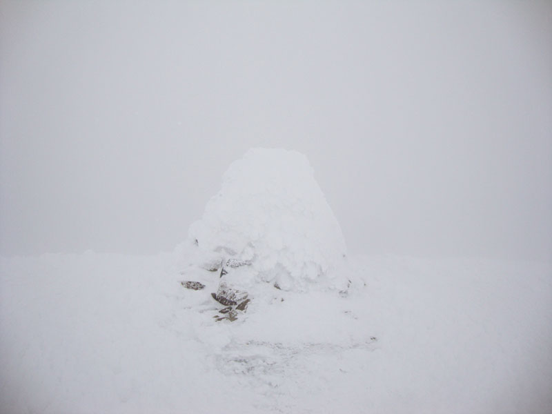
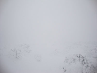
The Mt. Eisenhower summit
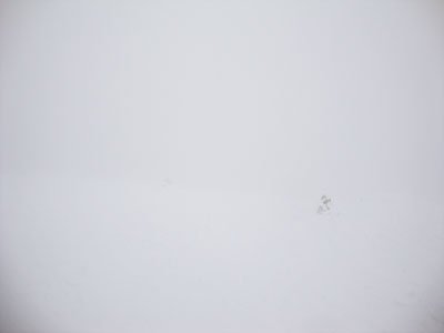
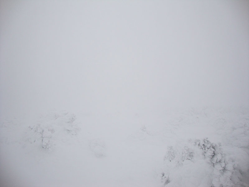
Heading toward Mt. Pierce from Mt. Eisenhower
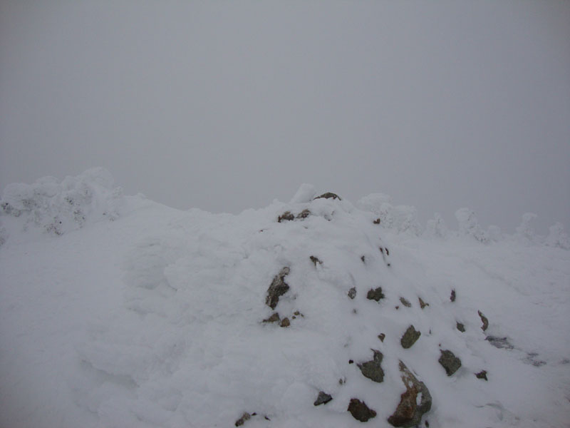
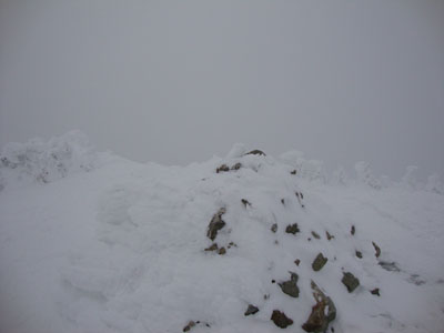
The Mt. Pierce summit
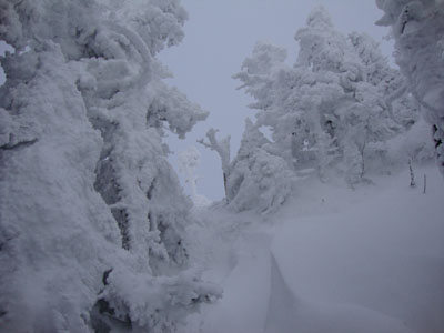
Looking up the Webster Cliff Trail near Mt. Jackson
The Mt. Jackson summit
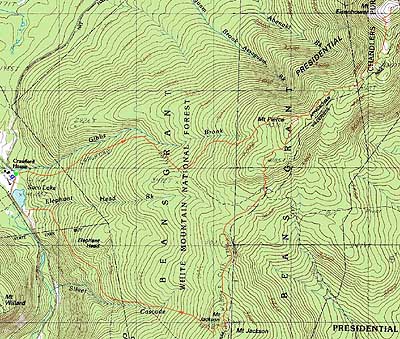

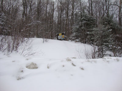
Directions to trailhead: Take Route 302 West from Bartlett into Carroll. The Highland Center parking lot is located on the left shortly after the Webster-Jackson trailhead (right). The Crawford Path trailhead is located just beyond the Highland Center parking lot, on the right.
Back to Mt. Eisenhower Profile
Back to Mt. Pierce Profile
Back to Mt. Jackson Profile
|