Home
States
Colorado
Connecticut
Maine
Massachusetts
New Hampshire
New York
Rhode Island
Utah
Vermont
View All
Lists
NE 4,000 Footers
NE 100 Highest
NH 4,000 Footers
NH 100 Highest
NH 52 With A View
NH Belknap Range
NH Ossipee 10
Links
Trail Conditions
Trip Log
Sunrises
Sunsets
About
|
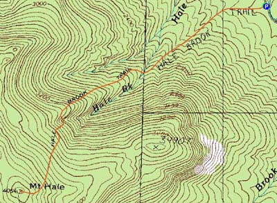
Mt. Hale
Bethlehem, NH
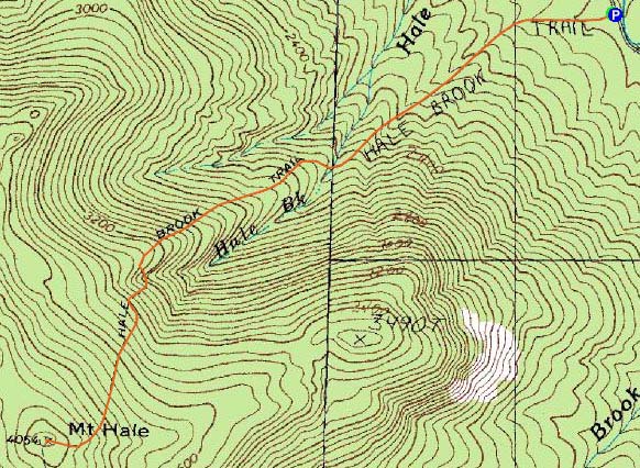
Trailheads, measurements, times, distances, and maps are all approximate and relative to the hike(s) as shown below.
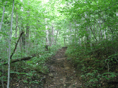
Looking up the Hale Brook Trail
Route: Hale Brook Trail
With thunderstorms working their way north, I decided to do a quick, viewless hike.
While the first portion of the Hale Brook Trail was fairly dry, things became a little bit more wet above the first water crossing. Despite all of the recent rain, both water crossings were fairly easily done.
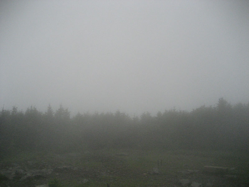
Reaching the summit, there wasn't much to see - just lots of mist.
Though there were a few sprinkles up high, I was able to make it out and back without getting rained on much - a nice change!
| Hike Ratings |
|
Getting To Trailhead: |
Easy |
| Destination: |
Mt. Hale |
|
Length: |
Moderate |
|
Steepness: |
Difficult |
|
Navigation: |
Easy |
|
Views: |
Minimal (due to weather) |
|
Crowds: |
Minimal |
|
| Hike Stats |
|
Date Hiked: |
Wednesday, July 1, 2009 |
| Hike Commenced: |
4:20 PM |
| Parking Elevation: |
1,770' |
| Destination: |
Mt. Hale |
| Ascent Commenced: |
4:20 PM |
| Summit Reached: |
5:23 PM |
| Time Elapsed: |
01:03 |
| Trailhead Elevation: |
1,770' |
| Summit Elevation: |
4,054' |
| Distance: |
2.3 miles |
| Vertical Gain: |
2,304' |
|
|
| Hike Ended: |
6:37 PM |
| Hike Time Elapsed: |
02:17 |
| Hike Distance: |
4.6 miles |
| Hike Vertical Gain: |
2,324' |
|
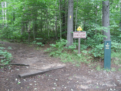
Hale Brook Trail trailhead
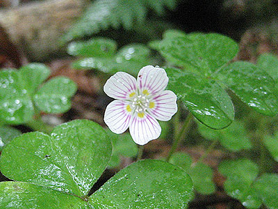
A wild flower along Hale Brook Trail
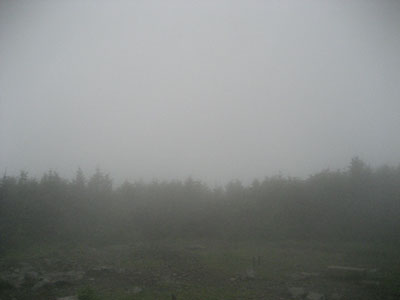
Looking at mist from the summit of Mt. Hale

Directions to trailhead: Take US 302 west from Bartlett past Bretton Woods Ski Area. A few minutes after, take a left onto Zealand Road. Continue up this road (turns to dirt) to the Hale Brook trailhead/small WMNF fee parking area (right side of the road).
Back to Mt. Hale Profile
|