Home
States
Colorado
Connecticut
Maine
Massachusetts
New Hampshire
New York
Rhode Island
Utah
Vermont
View All
Lists
NE 4,000 Footers
NE 100 Highest
NH 4,000 Footers
NH 100 Highest
NH 52 With A View
NH Belknap Range
NH Ossipee 10
Links
Trail Conditions
Trip Log
Sunrises
Sunsets
About
|
Colorado Mines Peak
Clear Creek County, CO, Grand County, CO
Trailheads, measurements, times, distances, and maps are all approximate and relative to the hike(s) as shown below.
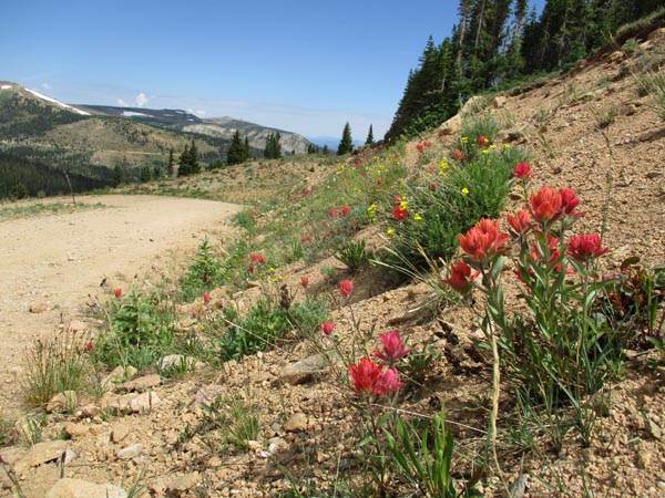
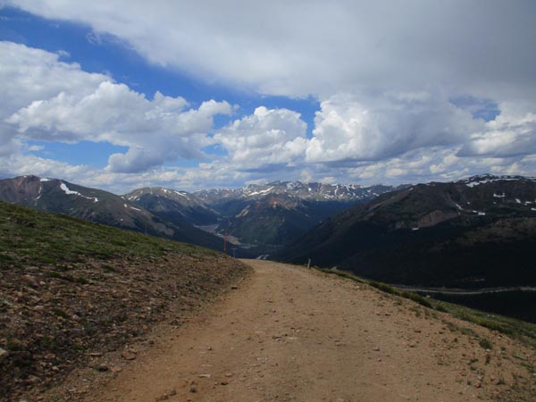
The access road
Route: Access road, ski trails
Heading back to Denver from Mt. Sherman, I decided to jog up Colorado Mines Peak and check out the abandoned Berthoud Pass ski area. The ascent to the summit was via a gravel road with generous switchbacks. Descending, I hopped off the road at the former chairlift top terminal, then followed herd paths down the former lift line.
| Hike Ratings |
|
Getting To Trailhead: |
Easy |
| Destination: |
Colorado Mines Peak |
|
Length: |
Moderate |
|
Steepness: |
Easy |
|
Navigation: |
Easy |
|
Views: |
Excellent |
|
Crowds: |
Heavy |
|
| Hike Stats |
|
Date Hiked: |
Sunday, August 4, 2019 |
| Parking Elevation: |
11,320' |
| Destination: |
Colorado Mines Peak |
| Time Elapsed: |
00:38 |
| Trailhead Elevation: |
11,320' |
| Summit Elevation: |
12,493' |
| Vertical Gain: |
1,273' |
|
|
| Hike Time Elapsed: |
01:10 |
| Hike Vertical Gain: |
1,273' |
|
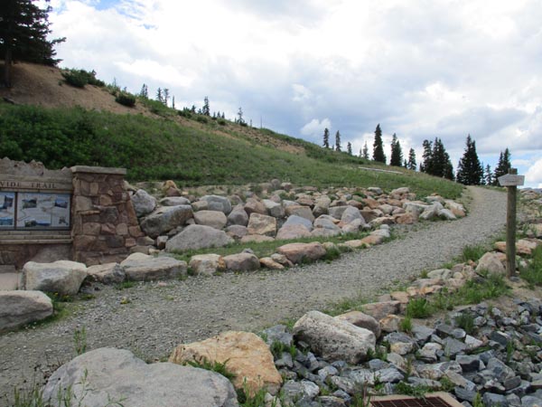
The Continental Trail trailhead
The access road

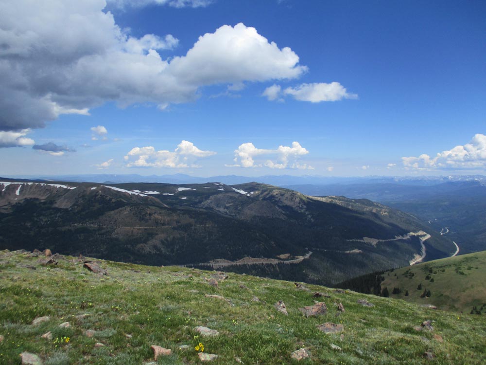
Looking north from Colorado Mines Peak
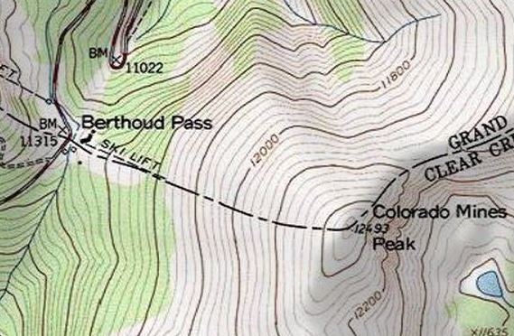

Directions to trailhead: Berthoud Pass is located west of I-70 on US 40. The access road starts at the parking lot on the east side of the road.
Back to Colorado Mines Peak Profile
|