Home
States
Colorado
Connecticut
Maine
Massachusetts
New Hampshire
New York
Rhode Island
Utah
Vermont
View All
Lists
NE 4,000 Footers
NE 100 Highest
NH 4,000 Footers
NH 100 Highest
NH 52 With A View
NH Belknap Range
NH Ossipee 10
Links
Trail Conditions
Trip Log
Sunrises
Sunsets
About
|
Mt. Democrat, Mt. Cameron, Mt. Lincoln, Mt. Bross
Park, CO
Trailheads, measurements, times, distances, and maps are all approximate and relative to the hike(s) as shown below.
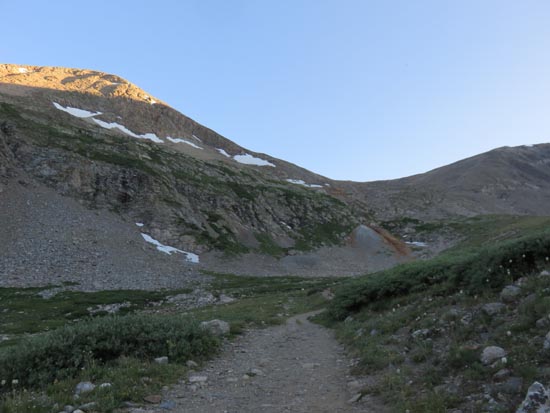
Ascending the trail from Kite Lake
The day started off with a road walk, as I was unable to make it up a deeply rutted area with my rental car. Eventually arriving at the trailhead, the trail started off quite gradually as it worked its past Kite Pond. The climbing started soon thereafter, with areas of loose footing up to the ridge. There was also some loose footing on the ridge climb to the windy summit.
There was a little bit of exposure in places along the ridge walk up to Mt. Cameron as well. After crossing over the summit, it seemed like a landscape from another planet. The final push up Mt. Lincoln had some minor scrambling and occasional exposure.
From the Cameron-Lincoln col, it was pretty easy walking all the way to Bross, generally on a jeep road. There was a little confusion on the approach to Bross, as the forest service had a sign suggesting the trail to the summit was closed. It appeared no one heeded this warning, and no no trespassing signs were encountered.
The descent down Bross was white knuckle for me, as it was a very narrow footbed carved into a fairly steep slope of small, loose rock. Presumably one wouldn't slide to one's demise, however it certainly looked that way. Each slip was a bit disconcerting.
| Hike Ratings |
|
Getting To Trailhead: |
Difficult |
| Destination: |
Mt. Democrat |
|
Length: |
Moderate |
|
Steepness: |
Difficult |
|
Navigation: |
Moderate |
|
Views: |
Excellent |
|
Crowds: |
Heavy |
| Destination: |
Mt. Cameron |
|
Length: |
Moderate |
|
Steepness: |
Difficult |
|
Navigation: |
Moderate |
|
Views: |
Excellent |
|
Crowds: |
Heavy |
| Destination: |
Mt. Lincoln |
|
Length: |
Moderate |
|
Steepness: |
Difficult |
|
Navigation: |
Moderate |
|
Views: |
Excellent |
|
Crowds: |
Heavy |
| Destination: |
Mt. Brosse |
|
Length: |
Moderate |
|
Steepness: |
Difficult |
|
Navigation: |
Moderate |
|
Views: |
Excellent |
|
Crowds: |
Heavy |
|
| Hike Stats |
|
Date Hiked: |
Thursday, July 28, 2016 |
| Parking Elevation: |
11,420' |
| Time to Trailhead: |
00:27 |
| Destination: |
Mt. Democrat |
| Time Elapsed: |
01:22 |
| Trailhead Elevation: |
12,020' |
| Summit Elevation: |
14,148' |
| Vertical Gain: |
2,128' |
| Destination: |
Mt. Cameron |
| Time Elapsed: |
01:06 |
| Trailhead Elevation: |
14,148' |
| Summit Elevation: |
14,238' |
| Vertical Gain: |
888' |
| Destination: |
Mt. Lincoln |
| Time Elapsed: |
00:15 |
| Trailhead Elevation: |
14,238' |
| Summit Elevation: |
14,286' |
| Vertical Gain: |
186' |
| Destination: |
Mt. Brosse |
| Time Elapsed: |
00:44 |
| Trailhead Elevation: |
14,286' |
| Summit Elevation: |
14,172' |
| Vertical Gain: |
362' |
|
|
| Hike Time Elapsed: |
06:00 |
| Hike Vertical Gain: |
4,214' |
|
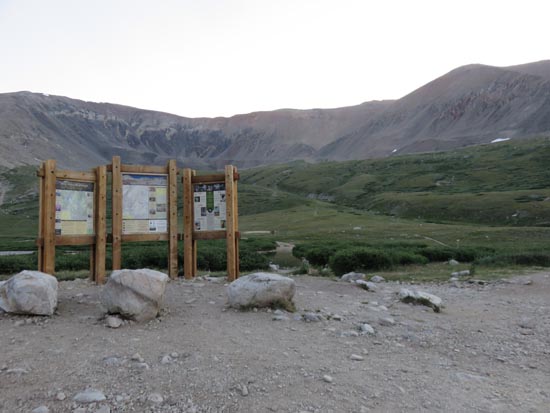
The Grays Peak Trail trailhead
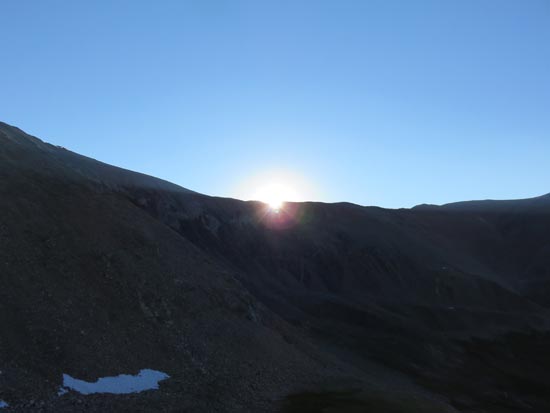
The sunrise from the East Face route
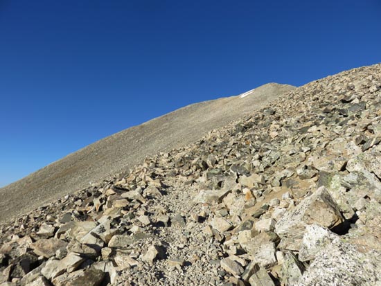
Ascending the East Face of Mt. Democrat
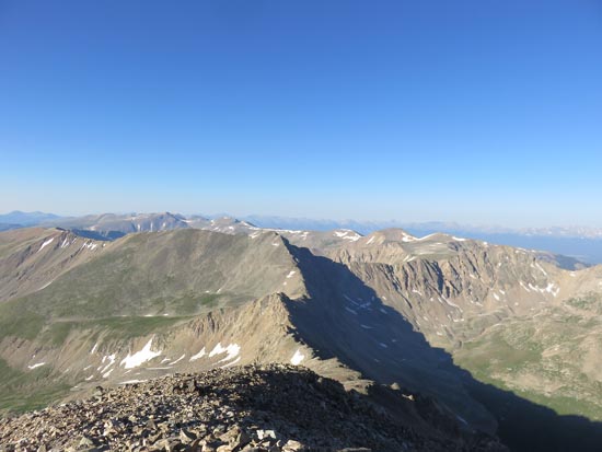
Looking southwest from Mt. Democrat
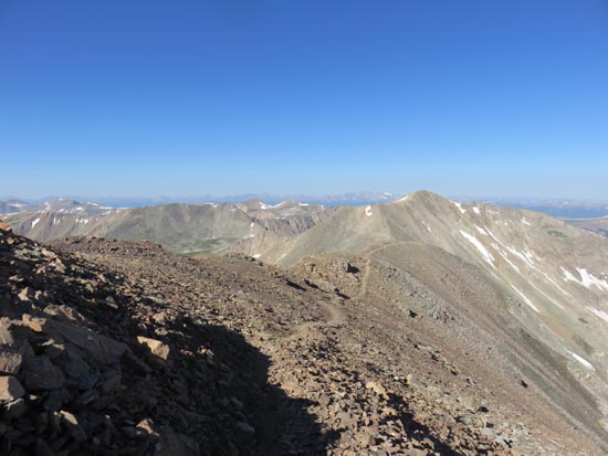
Looking back Mt. Democrat on the way to Mt. Cameron
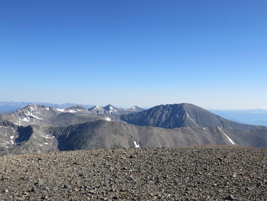
Looking north at Quandary Peak from Mt. Cameron
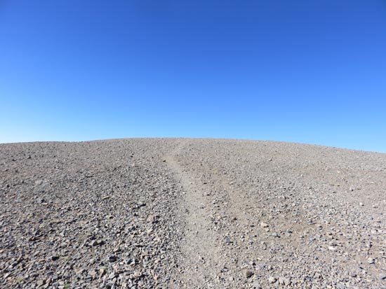
Looking back Mt. Cameron on the way to Mt. Lincoln
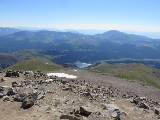
Looking east at the Montgomery Reservoir from Mt. Lincoln
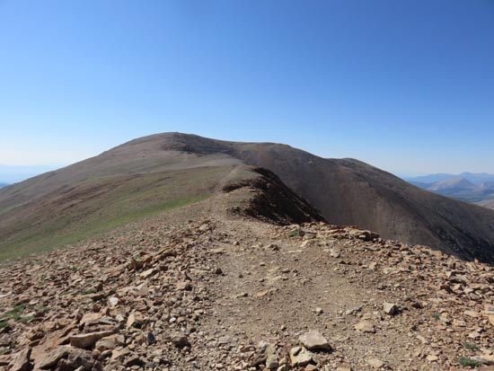
Heading to Mt. Bross
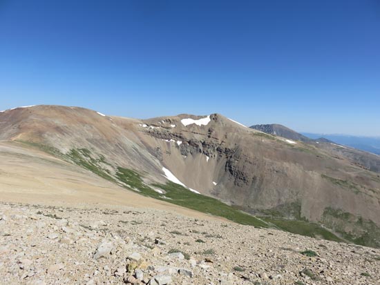
Looking at Mt. Cameron and Mt. Lincoln from Mt. Bross
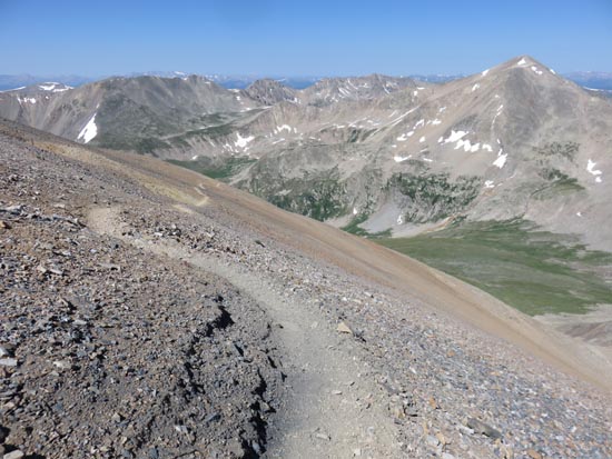
Descending Mt. Bross
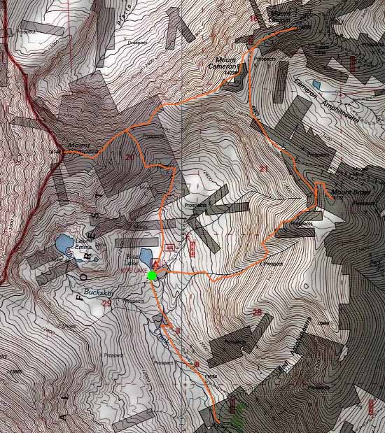

Directions to trailhead: From Route 9 in Alma, take Route 8 west. Cars may be unable to make it all the way to the Kite Lake trailhead at the end of the road.
Back to Mt. Democrat Profile
Back to Mt. Cameron Profile
Back to Mt. Lincoln Profile
Back to Mt. Bross Profile
|