Home
States
Colorado
Connecticut
Maine
Massachusetts
New Hampshire
New York
Rhode Island
Utah
Vermont
View All
Lists
NE 4,000 Footers
NE 100 Highest
NH 4,000 Footers
NH 100 Highest
NH 52 With A View
NH Belknap Range
NH Ossipee 10
Links
Trail Conditions
Trip Log
Sunrises
Sunsets
About
|
Burnt Meadow Mountain
Brownfield, ME
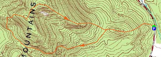
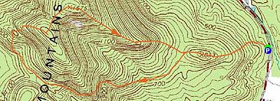
Trailheads, measurements, times, distances, and maps are all approximate and relative to the hike(s) as shown below.
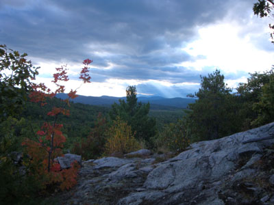
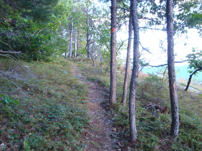
Looking down the loop trail to Burnt Meadow Mountain
Route: Unknown trail, unknown loop trail, (Burnt Meadow Mountain), unknown trail
After reading about the development of a loop trail on Burnt Meadow Mountain a few months earlier, I decided to check it out.
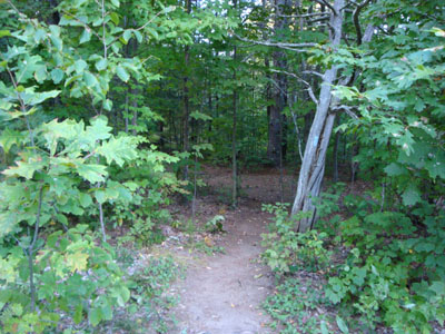
The parking area continued to be unmarked and easy to miss - no signs and only a faded blaze or two visible. Thinking that the planned trail would start at the parking lot, I was let down. Heading up the traditional trail and passing over the first hill, I soon saw fresh yellow blazes heading to the left - great success!
The new loop trail started by dropping down for awhile and lollygagging for a bit, prior to ascending along a brook. It then passed just below a long talus slope - perhaps a place for future exploration.
After reaching a saddle, the trail dropped a bit, then ascended some nice, open ledges. At this point, the blazes ended, as the balance of the trail was marked with surveyors tape and cairns.
Above the ledges, the trail worked its way to a subpeak, prior to dropping down and ascending to the summit of the peak known as Burnt Meadow Mountain, meeting the snowmobile trail, as well as the traditional hiking trail. On the whole, the new trail (parts of it appear to be an old trail) is longer, yet not quite as steep as the traditional route. Some care has been taken in making the footing as good as possible, including digging out sidecuts, building switchbacks, and doing rock paving. My guess is the new trail is between two and two and a half miles, from parking lot to summit.
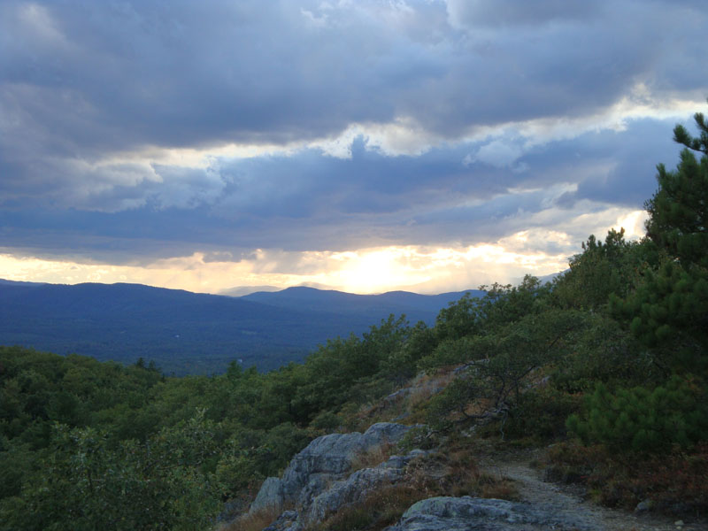
The views from the summit were excellent, ranging from points east in Maine to points west in New Hampshire.
For the descent, I opted for the shorter and steeper traditional blue blazed trail, reaching the bottom just prior to sunset.
| Hike Ratings |
|
Getting To Trailhead: |
Moderate |
| Destination: |
Burnt Meadow Mountain |
|
Length: |
Moderate |
|
Steepness: |
Difficult |
|
Navigation: |
Moderate |
|
Views: |
Excellent |
|
Crowds: |
Minimal |
|
| Hike Stats |
|
Date Hiked: |
Friday, September 18, 2009 |
| Hike Commenced: |
4:45 PM |
| Parking Elevation: |
440' |
| Destination: |
Burnt Meadow Mountain |
| Ascent Commenced: |
4:45 PM |
| Summit Reached: |
5:53 PM |
| Time Elapsed: |
01:08 |
| Trailhead Elevation: |
440' |
| Summit Elevation: |
1,575' |
| Vertical Gain: |
1,428' |
|
|
| Hike Ended: |
6:47 PM |
| Hike Time Elapsed: |
03:15 |
| Hike Vertical Gain: |
1,551' |
|
The trailhead to Burnt Meadow Mountain on Route 160
Looking up the loop trail to Burnt Meadow Mountain

Looking west from near the summit of Burnt Meadow Mountain

Directions to trailhead: Take 160 South from Brownfield. Shortly after passing the pond, just after a curve, there will be a small dirt parking lot on the right. The trailhead is to the right of this, marked with a light blue blaze.
Back to Burnt Meadow Mountain Profile
|