Home
States
Colorado
Connecticut
Maine
Massachusetts
New Hampshire
New York
Rhode Island
Utah
Vermont
View All
Lists
NE 4,000 Footers
NE 100 Highest
NH 4,000 Footers
NH 100 Highest
NH 52 With A View
NH Belknap Range
NH Ossipee 10
Links
Trail Conditions
Trip Log
Sunrises
Sunsets
About
|
Cadillac Mountain
Bar Harbor, ME
Trailheads, measurements, times, distances, and maps are all approximate and relative to the hike(s) as shown below.
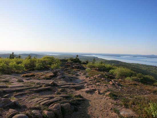
Looking down the Cadillac North Ridge Trail
Route: Cadillac North Ridge Trail
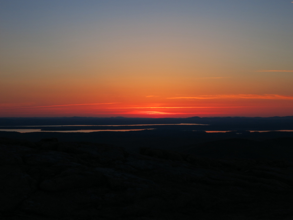
Trail was mostly dry. A bit more rugged than I would have expected, considering the popularity of the mountain (compared to the rock paved Gorge Path below it). Lots of nice open views on the upper half of the trail, though the nearby auto road doesn't allow for much of a natural feel (plenty of other peaks in the park to go to to get away from the road). Very nice sunset from the northern ledges.
| Hike Ratings |
|
Getting To Trailhead: |
Easy |
| Destination: |
Cadillac Mountain |
|
Length: |
Moderate |
|
Steepness: |
Difficult |
|
Navigation: |
Easy |
|
Views: |
Excellent |
|
Crowds: |
Heavy |
|
| Hike Stats |
|
Date Hiked: |
Saturday, May 31, 2014 |
| Parking Elevation: |
400' |
| Destination: |
Cadillac Mountain |
| Time Elapsed: |
00:51 |
| Trailhead Elevation: |
400' |
| Summit Elevation: |
1,530' |
| Vertical Gain: |
1,170' |
|
|
| Hike Time Elapsed: |
02:41 |
| Hike Vertical Gain: |
1,210' |
|
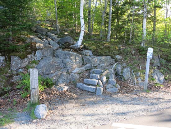
The Cadillac North Ridge Trail trailhead
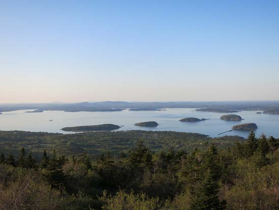
Looking northeast at Bar Harbor from Cadillac Mountain
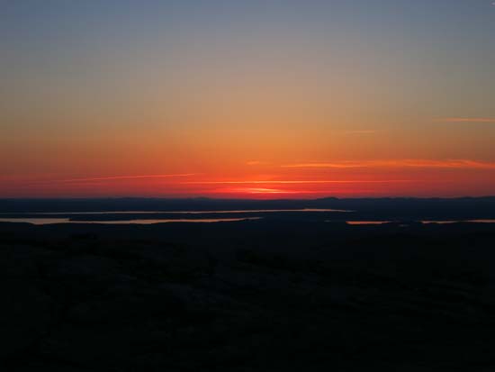
The sunset from near the Cadillac North Ridge Trail
Directions to trailhead: From Route 233 west of Bar Harbor, take Park Loop Road south toward Cadillac Mountain. Take a left onto the one-way-traffic segment toward Sand Beach. The Cadillac North Ridge Trail trailhead will be on the right shortly thereafter, with limited room to park roadside on the left. By getting off at the subsequent Route 3 exit, one can avoid going through the park tollbooth.
Back to Cadillac Mountain Profile
|