Home
States
Colorado
Connecticut
Maine
Massachusetts
New Hampshire
New York
Rhode Island
Utah
Vermont
View All
Lists
NE 4,000 Footers
NE 100 Highest
NH 4,000 Footers
NH 100 Highest
NH 52 With A View
NH Belknap Range
NH Ossipee 10
Links
Trail Conditions
Trip Log
Sunrises
Sunsets
About
|
Caribou Mountain
T2 R7, ME
Trailheads, measurements, times, distances, and maps are all approximate and relative to the hike(s) as shown below.
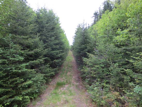
Looking up the logging road on the way to Caribou Mountain
Route: Logging road, unnamed trail
The bulk of this walk was on logging road, portions of which were muddy (rain showers made things a little wet too). After the last old logging landing, it looked more like either a snowmobile trail or boundary swath (stuff cut maybe 6" off the ground)...a little wet in places, but otherwise smooth sailing to the height of land. We found a jar maybe 20 feet off the trail at a potential highpoint, but it cracked and dropped the register on the ground (wet and rotten).
| Hike Ratings |
|
Getting To Trailhead: |
Difficult |
| Destination: |
Caribou Mountain |
|
Length: |
Moderate |
|
Steepness: |
Difficult |
|
Navigation: |
Easy |
|
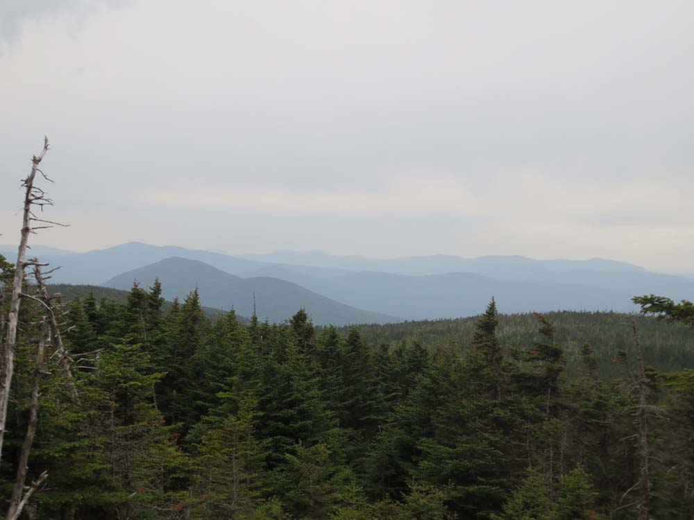
Views: |
Moderate (due to weather) |
|
Crowds: |
Minimal |
|
| Hike Stats |
|
Date Hiked: |
Sunday, June 16, 2013 |
| Parking Elevation: |
2,660' |
| Destination: |
Caribou Mountain |
| Time Elapsed: |
00:51 |
| Trailhead Elevation: |
2,660' |
| Summit Elevation: |
3,650' |
| Distance: |
2.3 miles |
| Vertical Gain: |
1,010' |
|
|
| Hike Time Elapsed: |
01:03 |
| Hike Vertical Gain: |
1,030' |
|
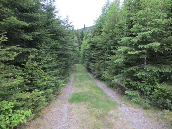
The continuation of the logging road 17.3 miles from Route 27

Hazy views from near the summit of Caribou Mountain
Directions to trailhead: Route 27 north from Eustis to Goldbrook Road. Bear left at 3.4 miles. Bear right at 8.5 miles. Road becomes Beaudry Road at 8.6 miles. At 12.6 there is a questionable bridge - passable, but a washout is forming. At 12.9, take a left onto West Branch Road. At 14.8, a small bridge has collapsed, requiring high clearance vehicles (or Ted Kennedy's team of lawyers). At 16.3 in a large clearing, take a right onto a much lesser used road. At 16.5, cross a small brook (if you made it over the bridge at 14.8, you can probably get over this). At 17.3 there is a fork, where we opted to park. We continued on foot on the left branch (it was quite soft in places, so it'd be a perfect place to get stuck).
Back to Caribou Mountain Profile
|