Home
States
Colorado
Connecticut
Maine
Massachusetts
New Hampshire
New York
Rhode Island
Utah
Vermont
View All
Lists
NE 4,000 Footers
NE 100 Highest
NH 4,000 Footers
NH 100 Highest
NH 52 With A View
NH Belknap Range
NH Ossipee 10
Links
Trail Conditions
Trip Log
Sunrises
Sunsets
About
|
Mt. Phillip
Rome, ME
Trailheads, measurements, times, distances, and maps are all approximate and relative to the hike(s) as shown below.
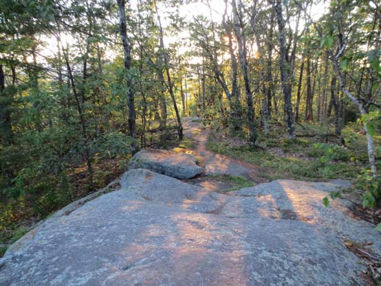
The Mt. Phillip Trail at the summit
Route: Mt. Phillips Trail
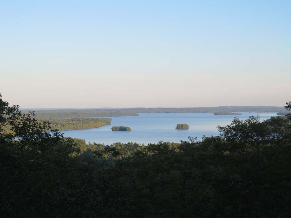
Trail was mostly dry and in good shape. East (clockwise) side of loop is very gradual (west side isn't too steep either). Observed three view points, all of the greater Great Pond area.
| Hike Ratings |
|
Getting To Trailhead: |
Easy |
| Destination: |
Mt. Phillip |
|
Length: |
Easy |
|
Steepness: |
Easy |
|
Navigation: |
Easy |
|
Views: |
Excellent |
|
Crowds: |
Minimal |
|
| Hike Stats |
|
Date Hiked: |
Thursday, August 15, 2013 |
| Parking Elevation: |
400' |
| Destination: |
Mt. Phillip |
| Time Elapsed: |
00:11 |
| Trailhead Elevation: |
400' |
| Summit Elevation: |
755' |
| Vertical Gain: |
365' |
|
|
| Hike Time Elapsed: |
00:25 |
| Hike Distance: |
1.4 miles |
| Hike Vertical Gain: |
385' |
|

The Mt. Phillip Trail trailhead
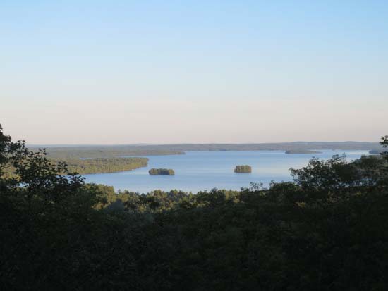
Looking at Great Pond from near the summit of Mt. Phillip
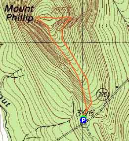

Directions to trailhead: Take Route 225 West from Rome. The Mt. Phillip Trail parking area and trailhead will eventually be on the right near a height of land, opposite a road on the left.
Back to Mt. Phillip Profile
|