Home
States
Colorado
Connecticut
Maine
Massachusetts
New Hampshire
New York
Rhode Island
Utah
Vermont
View All
Lists
NE 4,000 Footers
NE 100 Highest
NH 4,000 Footers
NH 100 Highest
NH 52 With A View
NH Belknap Range
NH Ossipee 10
Links
Trail Conditions
Trip Log
Sunrises
Sunsets
About
|
Penobscot Mountain
Mount Desert, ME
Trailheads, measurements, times, distances, and maps are all approximate and relative to the hike(s) as shown below.

The Spring Trail
Route: Carriage roads, Spring Trail, Penobscot Mountain Trail, East Cliffs Trail, Deer Brook Trail, Jordan Pond Path
Managed to sneak this one in just before the rain arrived.
Jordan Cliffs Trail is closed for nesting season. Spring Trail from the upper Carriage Road was a lot of fun with steps, scrambles, cliffs, etc. Penobscot Mountain Trail was yet another nice ridge walk with nonstop views and wild flowers. East Cliffs Trail had a few nice viewpoints, but was also pretty heavily eroded/loose. Deer Brook Trail has been stabilized with steps and waterbars. Nice walk around the western side of Jordan Pond.
| Hike Ratings |
|
Getting To Trailhead: |
Easy |
| Destination: |
Penobscot Mountain |
|
Length: |
Moderate |
|
Steepness: |
Very Difficult |
|
Navigation: |
Easy |
|
Views: |
Excellent |
|
Crowds: |
Heavy |
|
| Hike Stats |
|
Date Hiked: |
Monday, June 4, 2018 |
| Parking Elevation: |
300' |
| Destination: |
Penobscot Mountain |
| Time Elapsed: |
00:48 |
| Trailhead Elevation: |
300' |
| Summit Elevation: |
1,196' |
| Vertical Gain: |
976' |
|
|
| Hike Time Elapsed: |
01:14 |
| Hike Vertical Gain: |
1,176' |
|

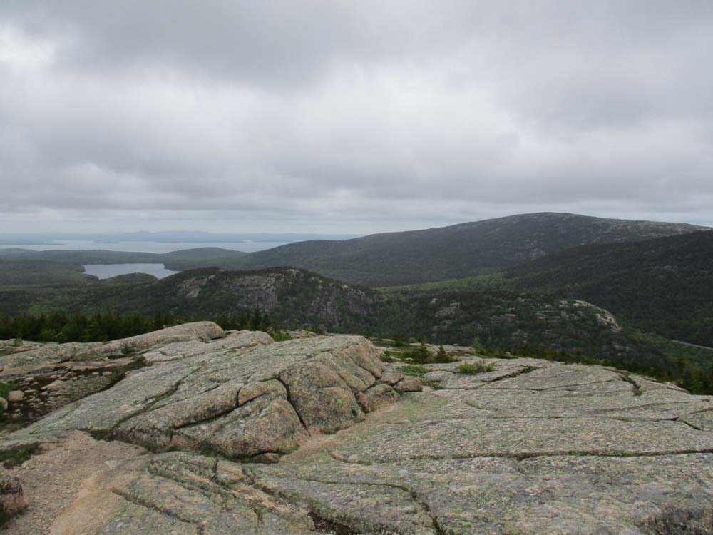
Looking at the Bubbles from Penobscot Mountain

The Jordan Pond Path
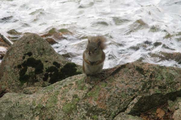
One of the natives
Directions to trailhead: The Jordan Pond House hiker lot (park permit) is located just north of the Jordan Pond House entrance off Jordan Pond Road.
Back to Penobscot Mountain Profile
|