Home
States
Colorado
Connecticut
Maine
Massachusetts
New Hampshire
New York
Rhode Island
Utah
Vermont
View All
Lists
NE 4,000 Footers
NE 100 Highest
NH 4,000 Footers
NH 100 Highest
NH 52 With A View
NH Belknap Range
NH Ossipee 10
Links
Trail Conditions
Trip Log
Sunrises
Sunsets
About
|
Pleasant Mountain
Denmark, ME
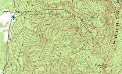
Trailheads, measurements, times, distances, and maps are all approximate and relative to the hike(s) as shown below.
Heading up the Firewarden's Trail to the Pleasant Mountain summit
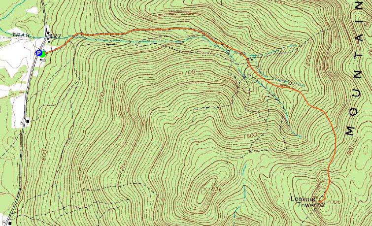
Route: Fire Warden's Trail
My original plan was to do a short hike after work. I found myself passing through Conway much earlier than planned, so I did some quick number crunching and realized I could get up Pleasant Mountain in time for the sunset if I really booked it. Thus, I continued east.
While conditions at the trailhead looked to be bootable (and warm - mid 30s!), I opted to wear my snowshoes, not knowing how much snow would be up high. As I worked my way up the trail (which doubles as a snowmobile trail), I could see that light traction would have been a better option. After crossing the little bridge, I soon reached one of many blue ice bulges, likely remaining from the heavy rain a few weeks earlier.
Upon arriving at the summit, I was surprised to see how high in the sky the sun still was - while I knew I was moving at a decent place, I was a good 10-15 minutes ahead of plan. Thus, I had time to sit around and get cold in the brisk wind.
The sunset was decent, but not necessarily spectacular. Nonetheless, with a forecast of mostly cloudy skies, the clear skies were most welcome.
I was able to make it back out to the trailhead without using a headlamp. Though cold with the winds up high, the temperatures were still hovering around freezing at the base.
| Hike Ratings |
|
Getting To Trailhead: |
Easy |
| Destination: |
Pleasant Mountain |
|
Length: |
Moderate |
|
Steepness: |
Moderate |
|
Navigation: |
Moderate |
|
Views: |
Excellent |
|
Crowds: |
Minimal |
|
| Hike Stats |
|
Date Hiked: |
Thursday, February 11, 2010 |
| Hike Commenced: |
3:50 PM |
| Parking Elevation: |
460' |
| Destination: |
Pleasant Mountain |
| Ascent Commenced: |
3:50 PM |
| Summit Reached: |
4:41 PM |
| Time Elapsed: |
00:51 |
| Trailhead Elevation: |
475' |
| Summit Elevation: |
2,006' |
| Distance: |
2.5 miles |
| Vertical Gain: |
1,556' |
|
|
| Hike Ended: |
6:02 PM |
| Hike Time Elapsed: |
02:12 |
| Hike Distance: |
5 miles |
| Hike Vertical Gain: |
1,606' |
|
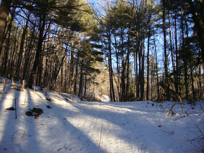
Fire Warden's Trail trailhead
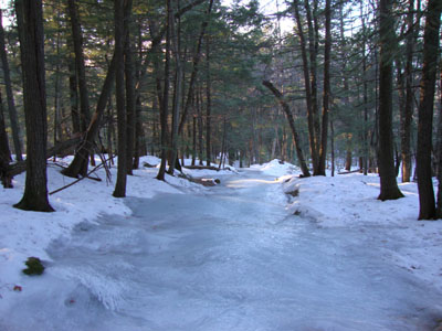
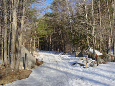
Extended ice bulges on the upper Firewarden's Trail
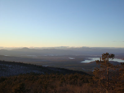
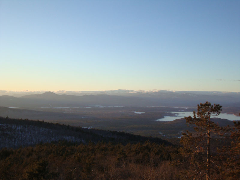
Looking northwest from the Pleasant Mountain summit at Kearsarge North Mountain (left) and the Presidentials
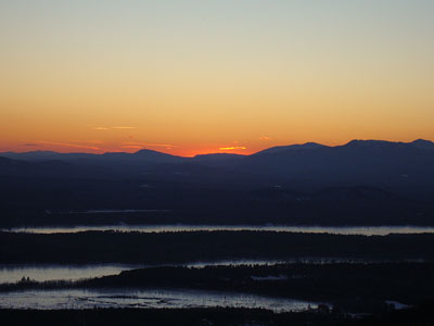
The sunset as seen from Pleasant Mountain

Directions to trailhead: From the New Hampshire border, take Route 302 to Wilton-Warren Road (a right). The road will turn to dirt. The trailhead and small parking lot are on the left just after an old wooden bridge.
Back to Pleasant Mountain Profile
|