Home
States
Colorado
Connecticut
Maine
Massachusetts
New Hampshire
New York
Rhode Island
Utah
Vermont
View All
Lists
NE 4,000 Footers
NE 100 Highest
NH 4,000 Footers
NH 100 Highest
NH 52 With A View
NH Belknap Range
NH Ossipee 10
Links
Trail Conditions
Trip Log
Sunrises
Sunsets
About
|
Pleasant Mountain
Denmark, ME
Trailheads, measurements, times, distances, and maps are all approximate and relative to the hike(s) as shown below.
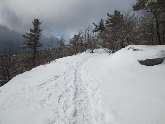
Looking up the Ledges Trail
Route: Ledges Trail
Lower half of the ledges trail was well packed and could support bareboots. A little bit of blue ice near the first set of ledges. Maybe a foot of snow.
Upper half of the trail was softening up later in the morning, so snowshoes would be a good idea. Maybe 1.5 feet of snowpack.
| Hike Ratings |
|
Getting To Trailhead: |
Easy |
| Destination: |
Pleasant Mountain |
|
Length: |
Moderate |
|
Steepness: |
Difficult |
|
Navigation: |
Easy |
|
Views: |
Excellent |
|
Crowds: |
Minimal |
|
| Hike Stats |
|
Date Hiked: |
Saturday, February 16, 2013 |
| Parking Elevation: |
500' |
| Destination: |
Pleasant Mountain |
| Time Elapsed: |
01:40 |
| Trailhead Elevation: |
500' |
| Summit Elevation: |
2,006' |
| Distance: |
1.8 miles |
| Vertical Gain: |
1,526' |
|
|
| Hike Time Elapsed: |
03:02 |
| Hike Distance: |
3.6 miles |
| Hike Vertical Gain: |
1,546' |
|
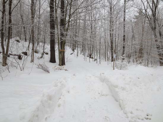
Ledges Trail trailhead
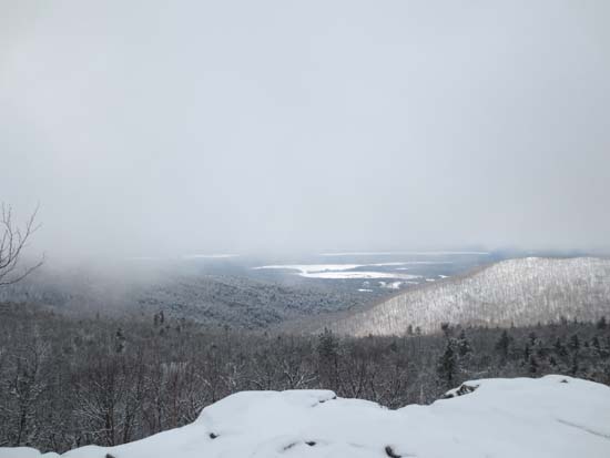
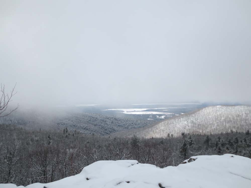
Looking west from Pleasant Mountain

Directions to trailhead: From 302, take Mountain Road south past both base areas of Shawnee Peak Ski Area. About 2 miles after, the small parking area should be visible on the left side of the road. The Ledges Trail signs and trailhead are on the right side.
Back to Pleasant Mountain Profile
|