Home
States
Colorado
Connecticut
Maine
Massachusetts
New Hampshire
New York
Rhode Island
Utah
Vermont
View All
Lists
NE 4,000 Footers
NE 100 Highest
NH 4,000 Footers
NH 100 Highest
NH 52 With A View
NH Belknap Range
NH Ossipee 10
Links
Trail Conditions
Trip Log
Sunrises
Sunsets
About
|
Saddleback Mountain
Dallas, ME, Sandy River, ME, Madrid, ME
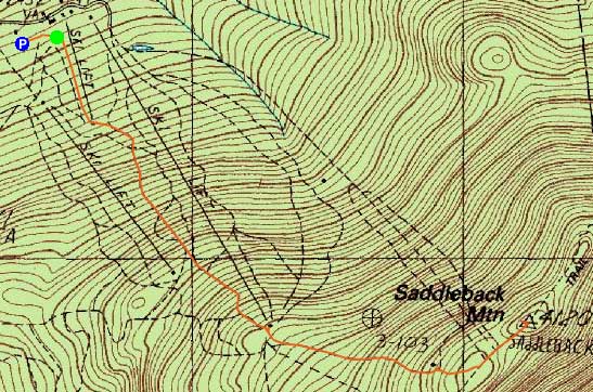
Trailheads, measurements, times, distances, and maps are all approximate and relative to the hike(s) as shown below.

The Appalachian Trail on the way to Saddleback Mountain
Route: Ski trails, unnamed connector trail, Appalachian Trail, (Saddleback Mountain), Appalachian Trail, unnamed connector trail, ski trails
Less snow than previous weekend. Windy on the lower ski slopes, but not too bad above treeline.
| Hike Ratings |
|
Getting To Trailhead: |
Easy |
| Destination: |
Saddleback Mountain |
|
Length: |
Moderate |
|
Steepness: |
Very Difficult |
|
Navigation: |
Moderate |
|
Views: |
Excellent |
|
Crowds: |
Minimal |
|
| Hike Stats |
|
Date Hiked: |
Sunday, November 13, 2011 |
| Parking Elevation: |
2,450' |
| Destination: |
Saddleback Mountain |
| Time Elapsed: |
00:55 |
| Trailhead Elevation: |
2,460' |
| Summit Elevation: |
4,116' |
| Vertical Gain: |
1,696' |
|
|
| Hike Time Elapsed: |
01:57 |
| Hike Vertical Gain: |
1,746' |
|
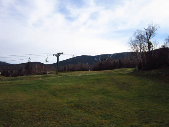
Looking up a ski trail near the base lodge parking area

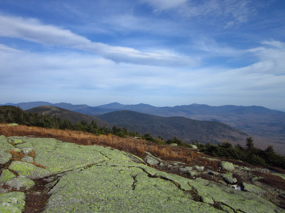
Looking at the Carrabassett Valley high peaks from near the summit of Saddleback Mountain

Directions to trailhead: Take Route 16 North (East in Maine) to Rangeley, merging and continuing on Route 4 South. Take a left onto Dallas Hill Road, then a right onto the Saddleback Ski Area access road. Parking is available just above the Main Lodge.
Back to Saddleback Mountain Profile
|