Home
States
Colorado
Connecticut
Maine
Massachusetts
New Hampshire
New York
Rhode Island
Utah
Vermont
View All
Lists
NE 4,000 Footers
NE 100 Highest
NH 4,000 Footers
NH 100 Highest
NH 52 With A View
NH Belknap Range
NH Ossipee 10
Links
Trail Conditions
Trip Log
Sunrises
Sunsets
About
|
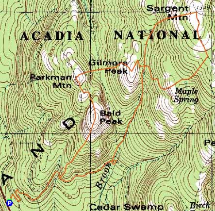
Sargent Mountain, Gilmore Peak, Parkman Mountain, Bald Peak
Mount Desert, ME
Trailheads, measurements, times, distances, and maps are all approximate and relative to the hike(s) as shown below.
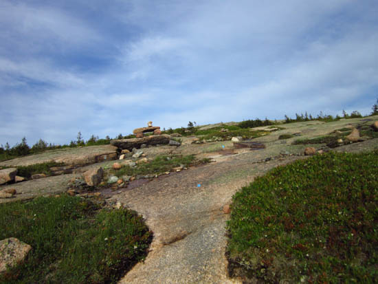
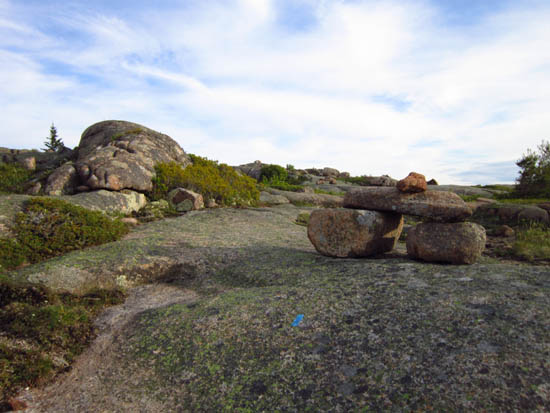
The upper Grandgent Trail on the way up Sargent Mountain
Route: Around-Mountain Carriage Road, Maple Spring Trail, Garndgent Trail, Sargent South Ridge Trail, Maple Spring Trail, Parkman Mountain Trail, Bald Peak Trail, Around-Mountain Carriage Road
Carriage Road had awesome footing (stonedust) and good views. Excellent to jog.
Maple Spring Trail was hard to follow in a few places due to copious number of brook crossings. Very nice ridgewalk on Sargent Mountain. Adding the three subpeaks was great too, as they were filled with views and alpine zones.
| Hike Ratings |
|
Getting To Trailhead: |
Easy |
| Destination: |
Sargent Mountain |
|
Length: |
Moderate |
|
Steepness: |
Difficult |
|
Navigation: |
Easy |
|
Views: |
Excellent |
|
Crowds: |
Minimal |
| Destination: |
Gilmore Peak |
|
Length: |
Moderate |
|
Steepness: |
Difficult |
|
Navigation: |
Easy |
|
Views: |
Excellent |
|
Crowds: |
Minimal |
| Destination: |
Parkman Mountain |
|
Length: |
Moderate |
|
Steepness: |
Difficult |
|
Navigation: |
Easy |
|
Views: |
Excellent |
|
Crowds: |
Minimal |
| Destination: |
Bald Peak |
|
Length: |
Moderate |
|
Steepness: |
Difficult |
|
Navigation: |
Easy |
|
Views: |
Excellent |
|
Crowds: |
Minimal |
|
| Hike Stats |
|
Date Hiked: |
Thursday, June 7, 2012 |
| Parking Elevation: |
340' |
| Destination: |
Sargent Mountain |
| Time Elapsed: |
00:48 |
| Trailhead Elevation: |
340' |
| Summit Elevation: |
1,373' |
| Vertical Gain: |
1,083' |
| Destination: |
Gilmore Peak |
| Time Elapsed: |
00:27 |
| Trailhead Elevation: |
1,373' |
| Summit Elevation: |
1,030' |
| Vertical Gain: |
120' |
| Destination: |
Parkman Mountain |
| Time Elapsed: |
00:14 |
| Trailhead Elevation: |
1,030' |
| Summit Elevation: |
941' |
| Vertical Gain: |
201' |
| Destination: |
Bald Peak |
| Time Elapsed: |
00:09 |
| Trailhead Elevation: |
941' |
| Summit Elevation: |
974' |
| Vertical Gain: |
160' |
|
|
| Hike Time Elapsed: |
02:07 |
| Hike Vertical Gain: |
1,564' |
|
The spur to the Around Mountain Carriage Road off Route 3
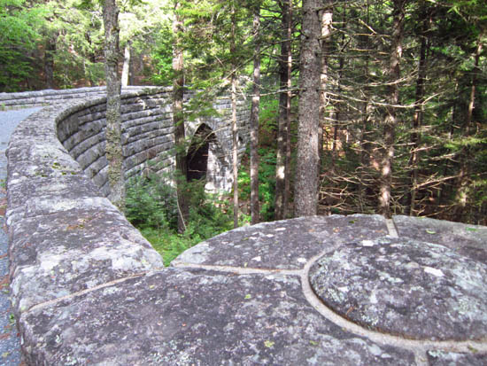
One of the amazing stone bridges on the Around Mountain Carriage Road

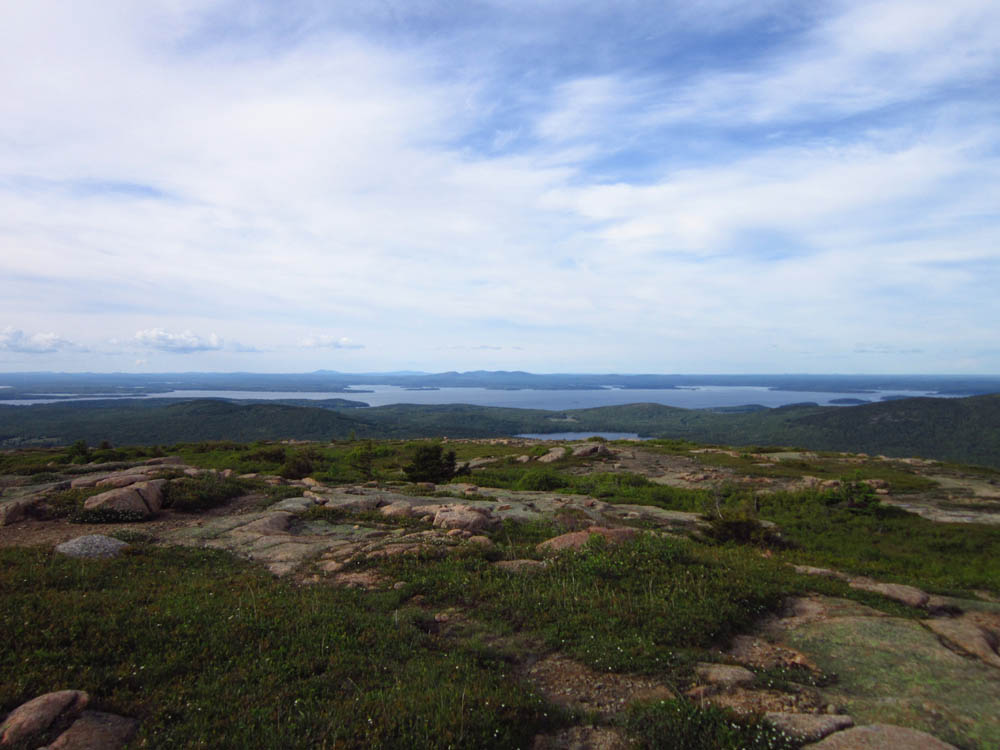
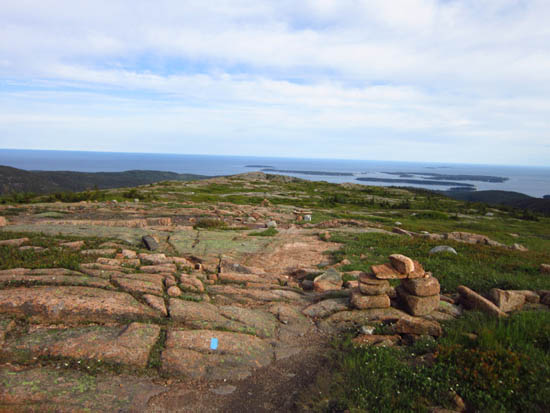
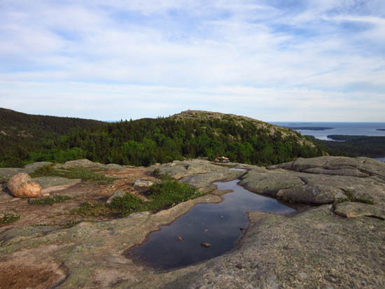
Looking toward the main land from Sargent Mountain
The Sargent South Ridge Trail on the way to Gilmore Peak
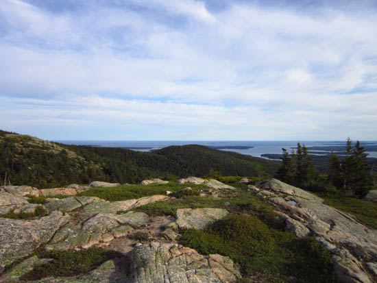
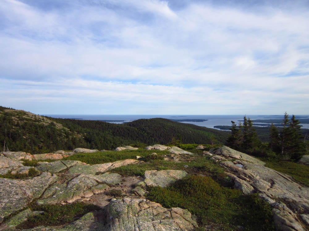
Looking at the ocean from Gilmore Peak
Approaching the summit of Parkman Mountain
Looking at Bald Peak from Parkman Mountain
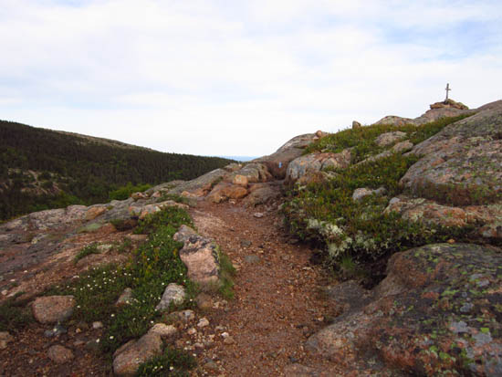
Approaching the summit of Bald Peak

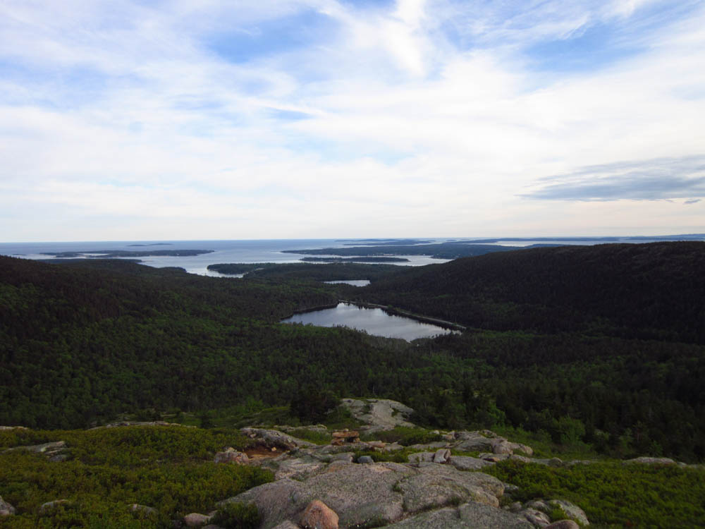
Looking over Upper Hadlock Pond from near the summit of Bald Peak

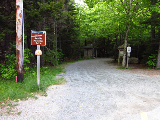
Directions to trailhead: Take Route 198 south from Route 233. Shortly after passing Sargent Drive, there will be a small parking area on the left side of the road at a height of land. A short spur to the Carriage Road network is located adjacent to the restroom.
Back to Sargent Mountain Profile
Back to Gilmore Peak Profile
Back to Parkman Mountain Profile
Back to Bald Peak Profile
|