Home
States
Colorado
Connecticut
Maine
Massachusetts
New Hampshire
New York
Rhode Island
Utah
Vermont
View All
Lists
NE 4,000 Footers
NE 100 Highest
NH 4,000 Footers
NH 100 Highest
NH 52 With A View
NH Belknap Range
NH Ossipee 10
Links
Trail Conditions
Trip Log
Sunrises
Sunsets
About
|
High Ledge
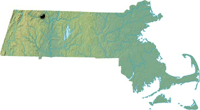
Shelburne, MA
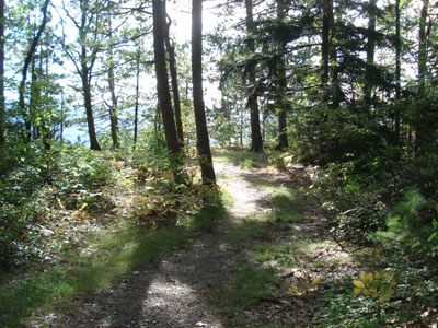
Trail near the High Ledge summit
Summary
 Hiking to the 'High Ledges' as they're known locally is an easy but enjoyable time. The parking area has now been moved back closer to the road, however the walk still isn't too long. The views from the ledge are excellent (though only to the west), often showing Mt. Greylock. Hiking to the 'High Ledges' as they're known locally is an easy but enjoyable time. The parking area has now been moved back closer to the road, however the walk still isn't too long. The views from the ledge are excellent (though only to the west), often showing Mt. Greylock.
High Ledges is a wildlife sanctuary, so bikes, jogging, juggling, and dogs aren't allowed.
Summit Elevation
1,268 feet
Summit Facilities
None.
Trip Reports:
Click on the date for photos, timestamps, and maps.
More Information
High Ledges Wildlife Sanctuary - Mass Audubon
|
