Home
States
Colorado
Connecticut
Maine
Massachusetts
New Hampshire
New York
Rhode Island
Utah
Vermont
View All
Lists
NE 4,000 Footers
NE 100 Highest
NH 4,000 Footers
NH 100 Highest
NH 52 With A View
NH Belknap Range
NH Ossipee 10
Links
Trail Conditions
Trip Log
Sunrises
Sunsets
About
|
Mt. Norwottock
Amherst, MA and Granby, MA
Trailheads, measurements, times, distances, and maps are all approximate and relative to the hike(s) as shown below.
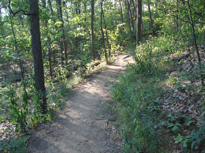
Metacomet-Monadnock Trail to Mt. Norwottock summit
Mt. Norwottock is a faily easy hike on the Holyoke Range. The hike's ascent is much like a Red Sox season - slow to start, a steady rise, then a series of dips before reaching the summit. Nonetheless, there are nice views from both the summit and a ledge just south of the summit.
| Hike Ratings |
|
Getting To Trailhead: |
Moderate |
| Destination: |
Mt. Norwottock |
|
Length: |
Easy |
|
Steepness: |
Moderate |
|
Navigation: |
Moderate |
|
Views: |
Excellent |
|
Crowds: |
Moderate |
|
| Hike Stats |
|
Date Hiked: |
Friday, August 18, 2006 |
| Hike Commenced: |
5:04 PM |
| Parking Elevation: |
523' |
| Destination: |
Mt. Norwottock |
| Ascent Commenced: |
5:05 PM at Metacomet-Monadnock trailhead |
| Summit Reached: |
5:31 PM |
| Trailhead Elevation: |
518' |
| Summit Elevation: |
1,106' |
| Vertical Gain: |
688' |
| Hike Ended: |
6:14 PM |
| Hike Vertical Gain: |
798' |
|
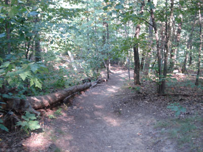
Metacomet-Monadnock trailhead
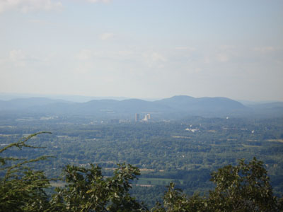
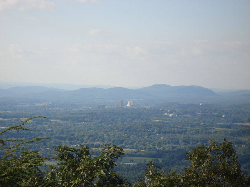
Looking north at UMass Amherst from Mt. Norwottock summit
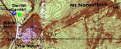

Directions to trailhead: Take Route 116 South from Amherst to the Notch Visitors Center parking area.
Back to Mt. Norwottock profile
|