Home
States
Colorado
Connecticut
Maine
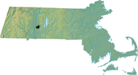
Massachusetts
New Hampshire
New York
Rhode Island
Utah
Vermont
View All
Lists
NE 4,000 Footers
NE 100 Highest
NH 4,000 Footers
NH 100 Highest
NH 52 With A View
NH Belknap Range
NH Ossipee 10
Links
Trail Conditions
Trip Log
Sunrises
Sunsets
About
|
Mt. Norwottock
Amherst, MA
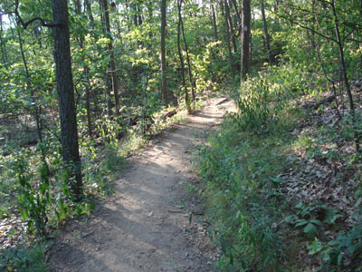
The Metacomet-Monadnock trail to Mt. Norwottock
 Summary Summary
Mt. Norwottock (spelled 'Norwottuck' on some maps and 'Norwottock' on others), the highest peak on the Holyoke Range east of the Connecticut River, is home to views in multiple directions. It is also home to the horse caves, dating back to Shays Rebellion.
Summit Facilities
None.
Trip Reports:
Click on the date for photos, timestamps, and maps.
More Information
- Mount Holyoke Range State Park - Massachusetts DCR
|
