Home
States
Colorado
Connecticut
Maine
Massachusetts
New Hampshire
New York
Rhode Island
Utah
Vermont
View All
Lists
NE 4,000 Footers
NE 100 Highest
NH 4,000 Footers
NH 100 Highest
NH 52 With A View
NH Belknap Range
NH Ossipee 10
Links
Trail Conditions
Trip Log
Sunrises
Sunsets
About
|
Mt. Toby
Sunderland, MA, Leverett, MA
Trailheads, measurements, times, distances, and maps are all approximate and relative to the hike(s) as shown below.
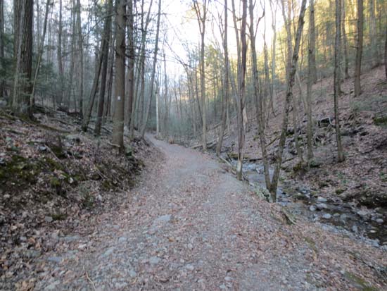
Tower Road
Route: Tower Road
Nice jog to the tower. Gated road mostly dry. Nice views from the tower (not much to see from the ground). Saw a very small patch of Hepatica about 1/10th of a mile before the Roaring Falls junction on Tower Road. Lots of trillium in bloom around this section as well.
| Hike Ratings |
|
Getting To Trailhead: |
Easy |
| Destination: |
Mt. Toby |
|
Length: |
Moderate |
|
Steepness: |
Moderate |
|
Navigation: |
Easy |
|
Views: |
Excellent |
|
Crowds: |
Minimal |
|
| Hike Stats |
|
Date Hiked: |
Friday, April 26, 2013 |
| Parking Elevation: |
390' |
| Destination: |
Mt. Toby |
| Time Elapsed: |
00:36 |
| Trailhead Elevation: |
390' |
| Summit Elevation: |
1,269' |
| Vertical Gain: |
904' |
|
|
| Hike Time Elapsed: |
01:16 |
| Hike Vertical Gain: |
944' |
|
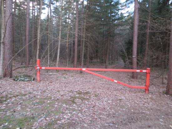
One of the Tower Road gates
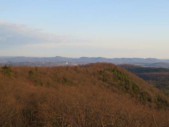
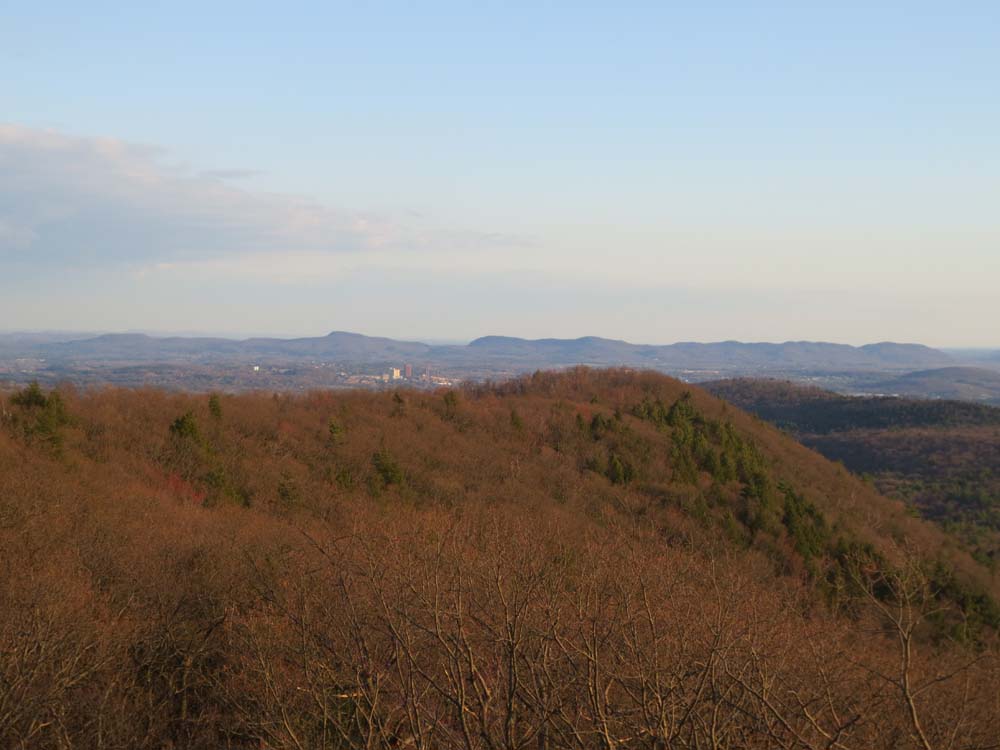
Looking south at UMass Amherst and the Holyoke Range from the Mt. Toby fire tower
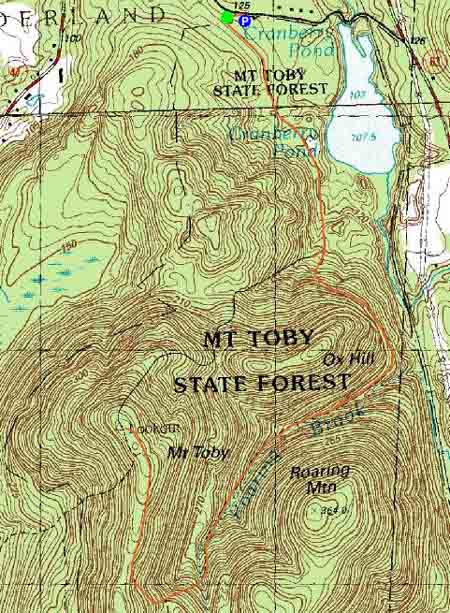

Directions to trailhead: From Route 116 in Sunderland, take Route 47 north. Take a right onto Reservation Road. Tower road begins adjacent to a parking area and trail map kiosk.
Back to Mt. Toby Profile
|