Home
States
Colorado
Connecticut
Maine
Massachusetts
New Hampshire
New York
Rhode Island
Utah
Vermont
View All
Lists
NE 4,000 Footers
NE 100 Highest
NH 4,000 Footers
NH 100 Highest
NH 52 With A View
NH Belknap Range
NH Ossipee 10
Links
Trail Conditions
Trip Log
Sunrises
Sunsets
About
|
Negus Mountain
Rowe, MA, and Charlemont, MA
Trailheads, measurements, times, distances, and maps are all approximate and relative to the hike(s) as shown below.

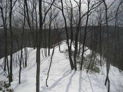
Freshly broken trail near the top of the southern peak of Negus Mountain
On my way to the trailhead, I was debating whether I would snowshoe or Stabilice this hike. Not having a big enough backpack with me to carry both, I knew I'd either have to choose to get up the steeps with ease (Stabilicers) or hike the gradual parts without postholing (showshoes). My choice was Stabilicers.
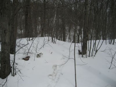
And a good choice, early on. Upon reaching the trailhead, I saw that the trail was already broken. With the large sections of blue ice under the snow, I was able to get good traction up steeps (something I was missing in my previous two Negus Mountain hikes). However, upon reaching the treeline, I saw that the previous hikers had stopped and turned around. Due to the high winds, the snow was not too deep and a somewhat thick layer of ice was on the surface for the next few hundred vertical feet.
Once I made it a bit more than halfway up the vertical, I was confronted with two choices - one, stay on the west side of the spine of the ridge and continue to get blown around, or two, hike up the east side of the spine and posthole up to my knees. I chose the wind and was blown around until I reached the last third of the vertical. At this point, it was posthole and snow drift city.
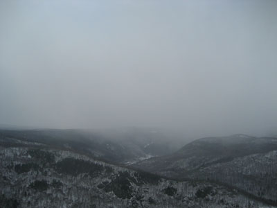
Upon reaching the summit of the southern peak of Negus, I decided I was not going to bother going to the real summit. The snow was easily up to my knees, a big snow squall was coming across the valley, and quite frankly the best part of the hike was already behind me. Again, I took the French Military option and retreated.
Conclusion: I do not intend to hike Negus from this approach again until there is either some melting or some icing.
| Hike Ratings |
|
Getting To Trailhead: |
Moderate |
| Destination: |
Negus Mountain |
|
Length: |
Moderate |
|
Steepness: |
Difficult |
|
Navigation: |
Moderate |
|
Views: |
Excellent |
|
Crowds: |
Minimal |
|
| Hike Stats |
|
Date Hiked: |
Sunday, March 4, 2007 |
| Hike Commenced: |
1:34 PM |
| Parking Elevation: |
750' |
| Destination: |
Negus Mountain |
| Ascent Commenced: |
1:35 PM |
| Summit Reached: |
2:21 PM |
| Trailhead Elevation: |
755' |
| Summit Elevation: |
1,705' |
| Vertical Gain: |
970' |
| Hike Ended: |
2:56 PM |
| Hike Vertical Gain: |
982' |
|

Trailhead across the railroad tracks

Looking west at an incoming snow squall.


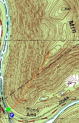
Directions to trailhead: Take Zoar Road to Zoar Gap. Parking is available on both sides of the road. Walk down the dead end road with the yellow fence at the end, cross the railroad tracks - the trailhead should be right there.
Back to Negus Mountain Profile
|