Home
States
Colorado
Connecticut
Maine
Massachusetts
New Hampshire
New York
Rhode Island
Utah
Vermont
View All
Lists
NE 4,000 Footers
NE 100 Highest
NH 4,000 Footers
NH 100 Highest
NH 52 With A View
NH Belknap Range
NH Ossipee 10
Links
Trail Conditions
Trip Log
Sunrises
Sunsets
About
|
Sachem Head
Greenfield, MA
Trailheads, measurements, times, distances, and maps are all approximate and relative to the hike(s) as shown below.
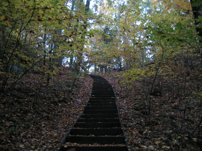
Stairway on the ascent to Sachem Ledge
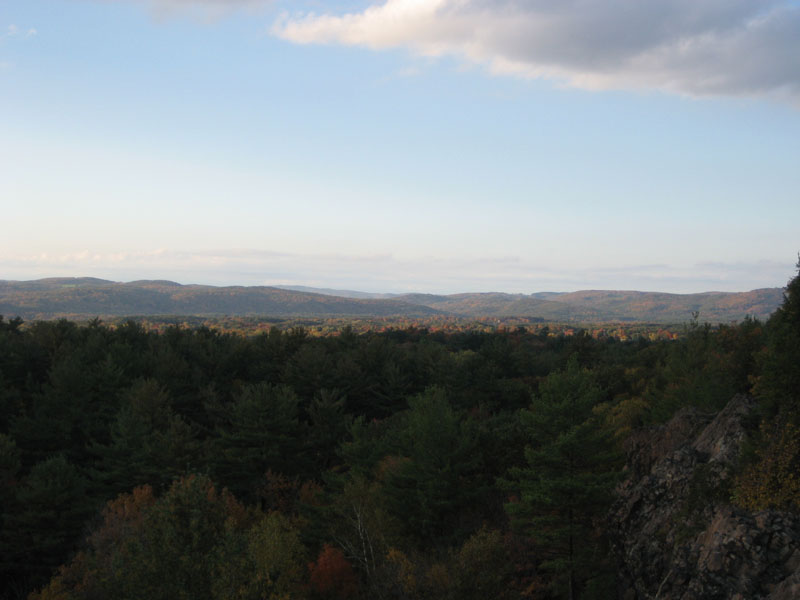
After raining most of the day, the sun started to come out, revealing peak foliage. The trail was mostly dry, however the ledge on the final ascent proved tricky.
With the exception of the stairway and ledge final ascent, the hike is pretty much flat.
| Hike Ratings |
|
Getting To Trailhead: |
Easy |
| Destination: |
Sachem Head |
|
Length: |
Easy |
|
Steepness: |
Difficult |
|
Navigation: |
Moderate |
|
Views: |
Excellent |
|
Crowds: |
Heavy |
|
| Hike Stats |
|
Date Hiked: |
Thursday, October 12, 2006 |
| Hike Commenced: |
4:58 PM |
| Parking Elevation: |
305' |
| Destination: |
Sachem Head |
| Ascent Commenced: |
4:59 PM |
| Summit Reached: |
5:08 PM |
| Time Elapsed: |
00:09 |
| Trailhead Elevation: |
310' |
| Summit Elevation: |
452' |
| Vertical Gain: |
162' |
|
|
| Hike Ended: |
5:38 PM |
| Hike Time Elapsed: |
00:40 |
| Hike Vertical Gain: |
187' |
|
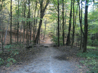
Sachem's Run trailhead
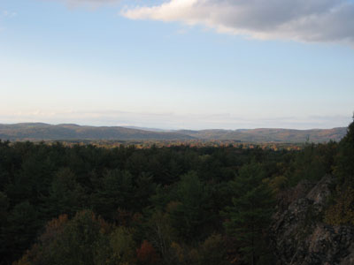
Looking north over Greenfield from Sachem Head
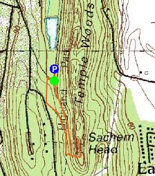

Directions to trailhead: Take Highland Avenue to Parkway Street. Parking lot just before pond.
Back to Sachem Head Profile
|