Home
States
Colorado
Connecticut
Maine
Massachusetts
New Hampshire
New York
Rhode Island
Utah
Vermont
View All
Lists
NE 4,000 Footers
NE 100 Highest
NH 4,000 Footers
NH 100 Highest
NH 52 With A View
NH Belknap Range
NH Ossipee 10
Links
Trail Conditions
Trip Log
Sunrises
Sunsets
About
|
Saddle Ball Mountain, Mt. Greylock, Mt. Fitch
Williamstown, MA, New Ashford, MA, Adams, MA, North Adams, MA
Trailheads, measurements, times, distances, and maps are all approximate and relative to the hike(s) as shown below.
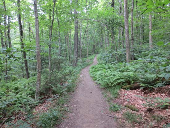
Looking up the Hopper Trail
Route: Hopper Trail, Sperry Road, Rockwell Road, CCC Dynamite Trail, Jones Nose Trail, Appalachian Trail, (Saddle Ball Mountain), Appalachian Trail, (Mt. Greylock), Appalachian Trail, bushwhack, (Mt. Fitch), bushwhack, Appalachian Trail, Old Summit Road, herd path, auto road, Money Brook Trail, Money Brook Falls Spur, Money Brook Trail, Hopper Trail
While the forecast was for partly sunny skies, the drive down from the hairpin turn on Route 2 revealed that Greylock was in the clouds. Arriving at the Hopper Trail trailhead, there were a few breaks of sun, however there was no sign of real clearing.
The Hopper Trail provided a steady ascent up to Sperry Road with generally good footing. We then followed Sperry Road to Rockwell Road, then hopped onto the CCC Dynamite Trail for a gradual walk over to the Jones Nose Trail. From there, we headed north to the Appalachian Trail and then to the wooded highpoint (of Saddleball Mountain. While there were a few viewpoints prior to the summit, the fog and occasional showers shut them out.
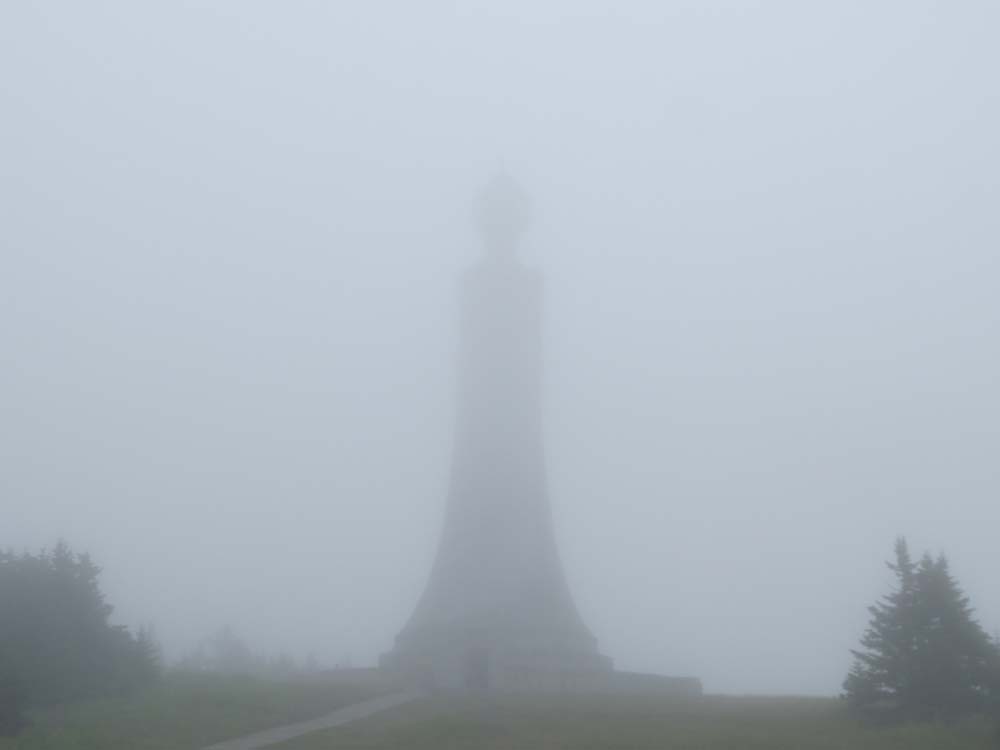
Eventually reaching the busy but foggy summit of Greylock, we hit the highpoint (the summit tower had a sign indicating that it is closed in 2013 and 2014 for repairs), then went over to Bascom Lodge for lunch.
We then took the Thunderbolt Trail/Appalachian Trail north, continuing on the latter where the former eventually drops off the side of the mountain. After a brief side trip to what appeared to be the wooded, trailless summit of Mt. Fitch, we descended to the col with Mt. Williams, then took the Old Summit Road trail and short cut down to the auto road, which we then descended to reach the Money Brook Trail. We then descended on that trail, taking a side trip over to the falls. Shortly thereafter, we had a good sized bear follow us briefly (a shout seemed to stop his/her pursuit). Eventually, we reached the valley floor and the flat runout to the trailhead.
| Hike Ratings |
|
Getting To Trailhead: |
Easy |
| Destination: |
Saddle Ball Mountain |
|
Length: |
Easy |
|
Steepness: |
Moderate |
|
Navigation: |
Easy |
|
Views: |
Minimal (due to weather) |
|
Crowds: |
Moderate |
| Destination: |
Mt. Greylock |
|
Length: |
Moderate |
|
Steepness: |
Moderate |
|
Navigation: |
Easy |
|
Views: |
Minimal (due to weather) |
|
Crowds: |
Heavy |
| Destination: |
Mt. Fitch |
|
Length: |
Moderate |
|
Steepness: |
Moderate |
|
Navigation: |
Easy |
|
Views: |
Minimal |
|
Crowds: |
Moderate |
|
| Hike Stats |
|
Date Hiked: |
Saturday, July 13, 2013 |
| Parking Elevation: |
1,100' |
| Destination: |
Saddle Ball Mountain |
| Time Elapsed: |
02:24 |
| Trailhead Elevation: |
1,105' |
| Summit Elevation: |
3,238 |
| Vertical Gain: |
2,283' |
| Destination: |
Mt. Greylock |
| Time Elapsed: |
01:00 |
| Trailhead Elevation: |
3,247' |
| Summit Elevation: |
3,491' |
| Vertical Gain: |
641' |
| Destination: |
Mt. Fitch |
| Time Elapsed: |
00:47 |
| Trailhead Elevation: |
3,491' |
| Summit Elevation: |
3,110' |
| Vertical Gain: |
110' |
|
|
| Hike Time Elapsed: |
07:16 |
| Hike Vertical Gain: |
3,184' |
|
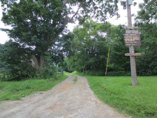
The Hopper Trail trailhead
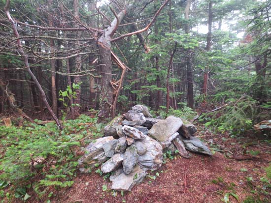
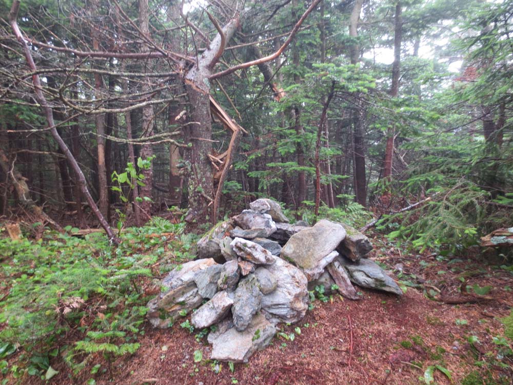
The highpoint of Saddle Ball Mountain
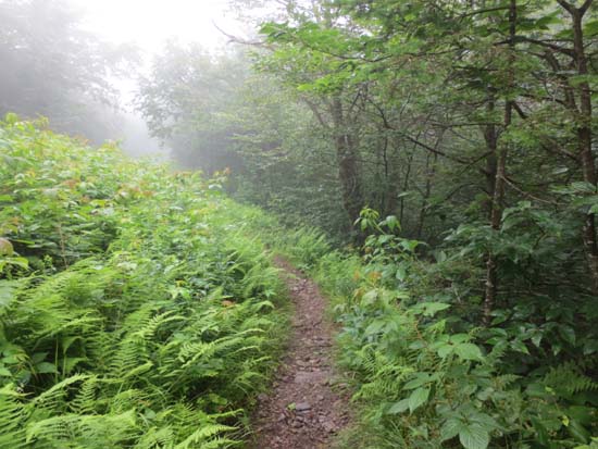
The Appalachian Trail on the way to Mt. Greylock
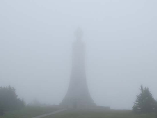
The Mt. Greylock summit tower
The Appalachian Trail on the way to Mt. Fitch
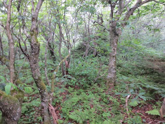
The woods near the highpoint of Mt. Fitch
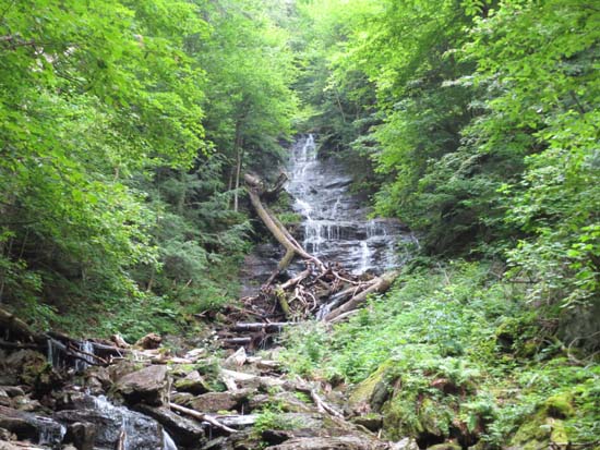
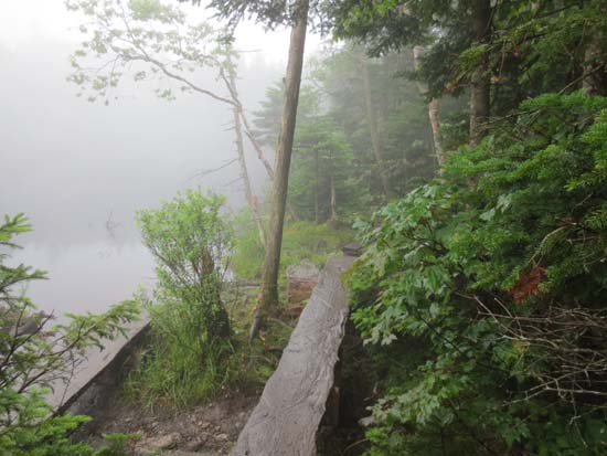
Money Brook Falls
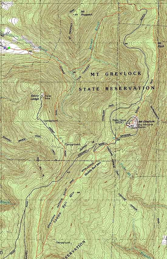

Directions to trailhead: Take Route 2 to Route 43. Hopper Road will be on the left, and then will bear left at the Potter Road intersection. Parking available at the end of Hopper Road.
Back to Saddle Ball Mountain Profile
Back to Mt. Greylock Profile
Back to Mt. Fitch Profile
|