Home
States
Colorado
Connecticut
Maine
Massachusetts
New Hampshire
New York
Rhode Island
Utah
Vermont
View All
Lists
NE 4,000 Footers
NE 100 Highest
NH 4,000 Footers
NH 100 Highest
NH 52 With A View
NH Belknap Range
NH Ossipee 10
Links
Trail Conditions
Trip Log
Sunrises
Sunsets
About
|
South Sugarloaf Mountain
South Deerfield, MA
Trailheads, measurements, times, distances, and maps are all approximate and relative to the hike(s) as shown below.
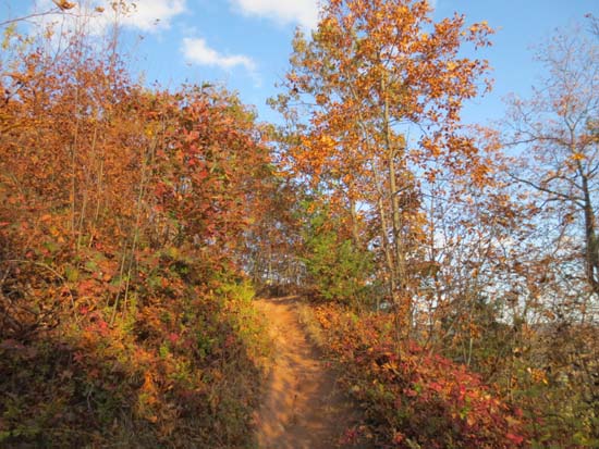
The Pocumtuck Ridge Trail near the summit
Route: Bushwhack, Pocumtuck Ridge Trail, auto road, Pocumtuck Ridge Trail
Trails were dry and in good shape. Route 116 trailhead is at far left of pulloff. Missed this on the way up and ended up bushwhacking up a steep embankment instead.
Good foliage colors still.
| Hike Ratings |
|
Getting To Trailhead: |
Moderate |
| Destination: |
South Sugarloaf Mountain |
|
Length: |
Easy |
|
Steepness: |
Difficult |
|
Navigation: |
Moderate |
|
Views: |
Excellent |
|
Crowds: |
Heavy |
|
| Hike Stats |
|
Date Hiked: |
Friday, October 18, 2013 |
| Parking Elevation: |
160' |
| Destination: |
South Sugarloaf Mountain |
| Time Elapsed: |
00:15 |
| Trailhead Elevation: |
160' |
| Summit Elevation: |
652' |
| Vertical Gain: |
552' |
|
|
| Hike Time Elapsed: |
00:28 |
| Hike Vertical Gain: |
570' |
|
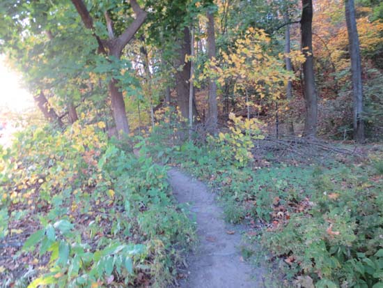
The eastern Pocumtuck Ridge Trail trailhead off Route 116

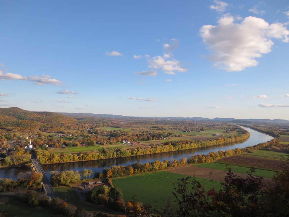
Looking southeast over the Connecticut River from South Sugarloaf

Directions to trailhead: The parking lot and trailhead for South Sugarloaf Mountain are located just off Route 116 in South Deerfield. An alternate place to park and start a hike is the rest area east of there.
Back to South Sugarloaf Mountain Profile
|