Home
States
Colorado
Connecticut
Maine
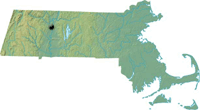
Massachusetts
New Hampshire
New York
Rhode Island
Utah
Vermont
View All
Lists
NE 4,000 Footers
NE 100 Highest
NH 4,000 Footers
NH 100 Highest
NH 52 With A View
NH Belknap Range
NH Ossipee 10
Links
Trail Conditions
Trip Log
Sunrises
Sunsets
About
|
South Sugarloaf Mountain
South Deerfield, MA
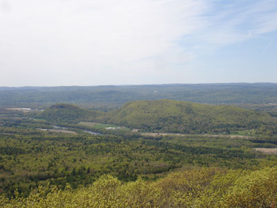
South and North Sugarloaf, as seen from Mt. Toby
 Summary Summary
Despite being only 652 feet in elevation, South Sugarloaf Mountain is a very popular destination for sightseers due to its cliffs and lack of surrounding mountains. Part of the 2010 film "Edge of Darkness" was filmed on the summit.
Summit Elevation
652 feet
Summit Facilities
Seasonal observation tower, picnic area, running water.
Trip Reports:
Click on the date for photos, timestamps, and maps.
More Information
Edge of Darkness - Wikipedia
Pocumtuck Ridge Trail
|
