Home
States
Colorado
Connecticut
Maine
Massachusetts
New Hampshire
New York
Rhode Island
Utah
Vermont
View All
Lists
NE 4,000 Footers
NE 100 Highest
NH 4,000 Footers
NH 100 Highest
NH 52 With A View
NH Belknap Range
NH Ossipee 10
Links
Trail Conditions
Trip Log
Sunrises
Sunsets
About
|
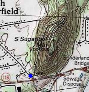
South Sugarloaf Mountain
South Deerfield, MA
Trailheads, measurements, times, distances, and maps are all approximate and relative to the hike(s) as shown below.
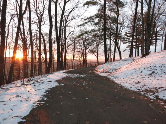
The auto road
Route: Auto road
Lower portion of the gated auto road was snow free and dry. As soon as the road reached the north side, it was coated in snow and ice, making for slippery going from there to the summit.
| Hike Ratings |
|
Getting To Trailhead: |
Easy |
| Destination: |
South Sugarloaf Mountain |
|
Length: |
Easy |
|
Steepness: |
Easy |
|
Navigation: |
Easy |
|
Views: |
Excellent |
|
Crowds: |
Minimal |
|
| Hike Stats |
|
Date Hiked: |
Sunday, December 14, 2014 |
| Parking Elevation: |
189' |
| Destination: |
South Sugarloaf Mountain |
| Time Elapsed: |
00:11 |
| Trailhead Elevation: |
189' |
| Summit Elevation: |
652' |
| Vertical Gain: |
463' |
|
|
| Hike Time Elapsed: |
00:42 |
| Hike Vertical Gain: |
463' |
|
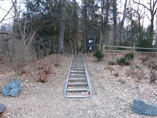
The trailhead off Route 116

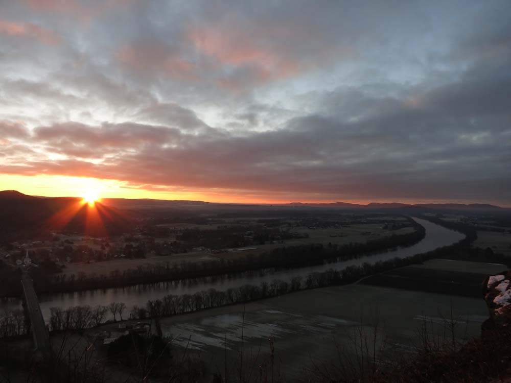
The sunrise from South Sugarloaf

The sunrise from South Sugarloaf

Directions to trailhead: The parking lot and trailhead for South Sugarloaf Mountain are located just off Route 116 in South Deerfield.
Back to South Sugarloaf Mountain Profile
|