Home
States
Colorado
Connecticut
Maine
Massachusetts
New Hampshire
New York
Rhode Island
Utah
Vermont
View All
Lists
NE 4,000 Footers
NE 100 Highest
NH 4,000 Footers
NH 100 Highest
NH 52 With A View
NH Belknap Range
NH Ossipee 10
Links
Trail Conditions
Trip Log
Sunrises
Sunsets
About
|
Mt. Watatic
Ashburnham, MA
Trailheads, measurements, times, distances, and maps are all approximate and relative to the hike(s) as shown below.
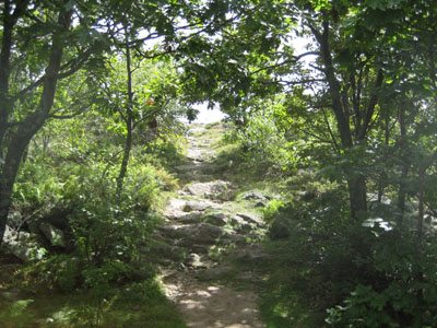
Trail near Watatic summit
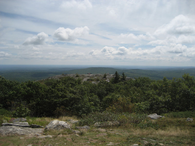
Mount Watatic is one of the highest peaks in Central Massachusetts. Once an alpine ski area, the summit offers strong views in almost every direction. Despite its summit elevation, the vertical is not overly challenging.
| Hike Ratings |
|
Getting To Trailhead: |
Easy |
| Destination: |
Mt. Watatic |
|
Length: |
Moderate |
|
Steepness: |
Moderate |
|
Navigation: |
Moderate |
|
Views: |
Excellent |
|
Crowds: |
Heavy |
|
| Hike Stats |
|
Date Hiked: |
Monday, September 4, 2006 |
| Hike Commenced: |
11:28 AM |
| Parking Elevation: |
1,243' |
| Destination: |
Mt. Watatic |
| Ascent Commenced: |
11:29 AM at Wapack/Midstate Trail trailhead |
| Summit Reached: |
11:52 PM |
| Trailhead Elevation: |
1,235' |
| Summit Elevation: |
1,832' |
| Vertical Gain: |
647' |
| Hike Ended: |
12:29 PM |
| Hike Vertical Gain: |
812' |
|
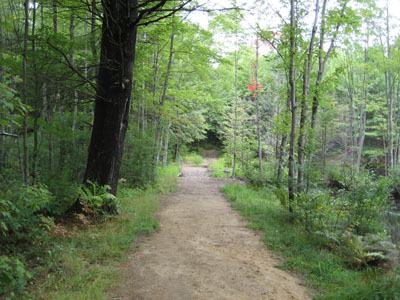
Wapack Trail near trailhead
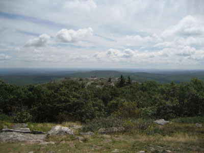
Looking south-southeast at lower ledge of Mt. Watatic summit
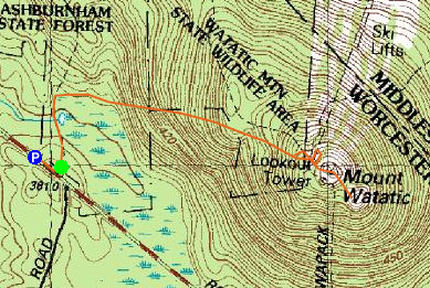

Directions to trailhead: Take Route 101/119 North/West from Ashby, limited parking available at trailhead on right side of road (otherwise park on side of road).
Back to Mt. Watatic profile
|