Home
States
Colorado
Connecticut
Maine
Massachusetts
New Hampshire
New York
Rhode Island
Utah
Vermont
View All
Lists
NE 4,000 Footers
NE 100 Highest
NH 4,000 Footers
NH 100 Highest
NH 52 With A View
NH Belknap Range
NH Ossipee 10
Links
Trail Conditions
Trip Log
Sunrises
Sunsets
About
|
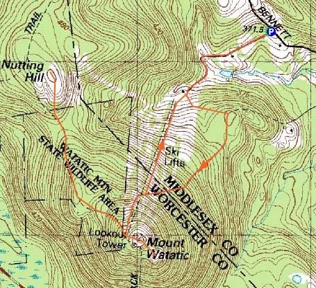
Mt. Watatic, Nutting Hill
Ashby, MA, Ashburnham, MA
Trailheads, measurements, times, distances, and maps are all approximate and relative to the hike(s) as shown below.
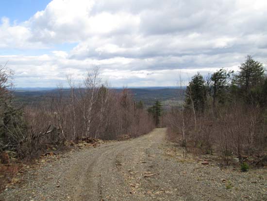
Looking down the access road
Route: Access road, Wapack Trail
Headed south to get out of the subpar forecast. Other than an occasional sprinkle, the weather held up with a few glimpses of sunshine and blue sky.
Ascended via the old access road to Mt. Watatic ski area, then followed the gravel/crushed rock access road from the base area to the summit. Mostly dry with reasonable grades and good footing. Summit was surprisingly quiet.
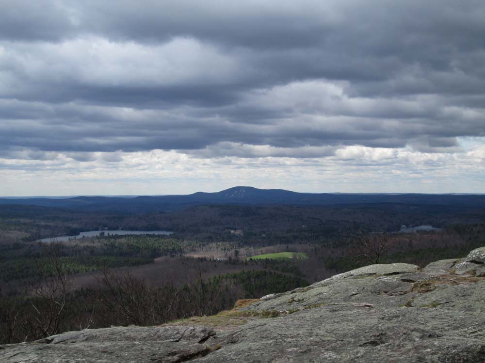
From the summit, I headed north on the Wapack Trail to Nutting Hill, the last peak on the trail before crossing into New Hampshire. Directional views from the ledgy summit area. Other than a few minor wet spots, the trail was in good shape.
| Hike Ratings |
|
Getting To Trailhead: |
Easy |
| Destination: |
Mt. Watatic |
|
Length: |
Easy |
|
Steepness: |
Moderate |
|
Navigation: |
Moderate |
|
Views: |
Excellent |
|
Crowds: |
Minimal |
| Destination: |
Nutting Hill |
|
Length: |
Moderate |
|
Steepness: |
Moderate |
|
Navigation: |
Easy |
|
Views: |
Excellent |
|
Crowds: |
Moderate |
|
| Hike Stats |
|
Date Hiked: |
Sunday, May 4, 2014 |
| Parking Elevation: |
1,220' |
| Destination: |
Mt. Watatic |
| Time Elapsed: |
00:23 |
| Trailhead Elevation: |
1,220' |
| Summit Elevation: |
1,832' |
| Vertical Gain: |
652' |
| Destination: |
Nutting Hill |
| Time Elapsed: |
00:13 |
| Trailhead Elevation: |
1,832' |
| Summit Elevation: |
1,625' |
| Vertical Gain: |
150' |
| Hike Time Elapsed: |
01:38 |
| Hike Vertical Gain: |
902' |
|
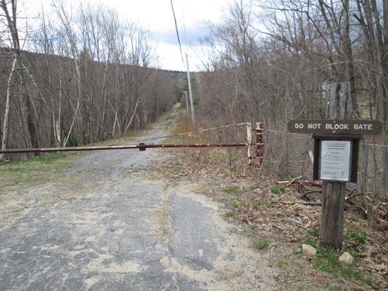
The start of the old ski area access road off Bennett Road
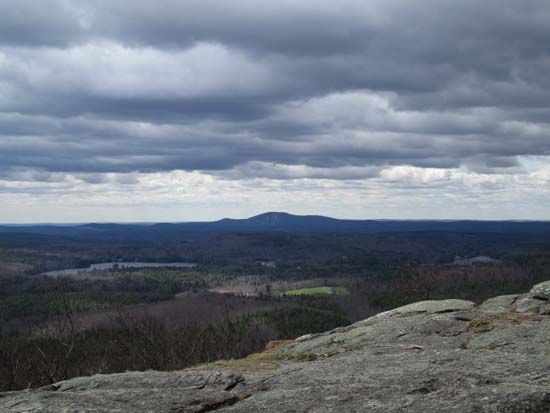
Looking at Wachusett from the southeast ledges of Mt. Watatic
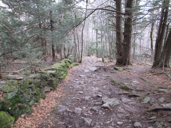
The Wapack Trail between the peaks
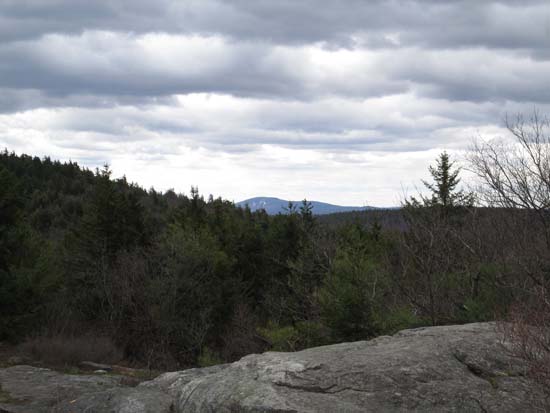
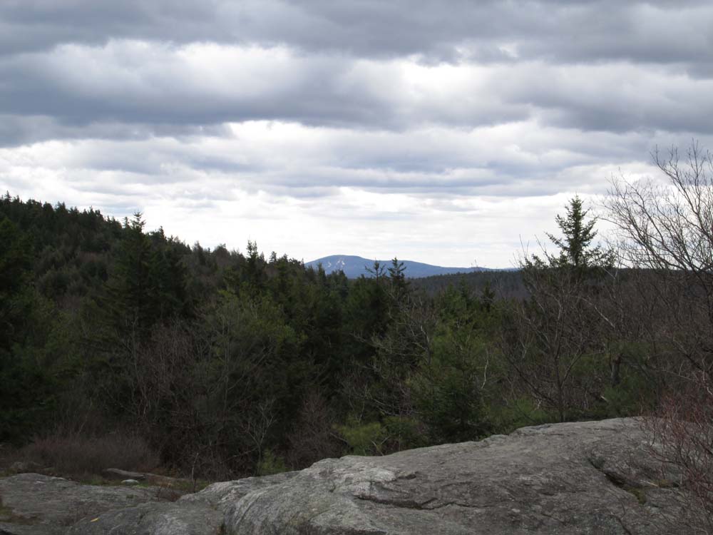
Looking over the shoulder of Mt. Watatic at Wachusett from Nutting Hill

Directions to trailhead: From Route 109 West near Watatic Pond in Ashby, take a right onto Pillsbury Road, then take a left onto Bennett Road. The gated Watatic ski area access road will eventually be on the left, prior to the height of land. There is limited room to park adjacent to the gate.
Back to Mt. Watatic Profile
Back to Nutting Hill Profile
|