Home
States
Colorado
Connecticut
Maine
Massachusetts
New Hampshire
New York
Rhode Island
Utah
Vermont
View All
Lists
NE 4,000 Footers
NE 100 Highest
NH 4,000 Footers
NH 100 Highest
NH 52 With A View
NH Belknap Range
NH Ossipee 10
Links
Trail Conditions
Trip Log
Sunrises
Sunsets
About
|
Bald Hill
Marlow, NH
Trailheads, measurements, times, distances, and maps are all approximate and relative to the hike(s) as shown below.
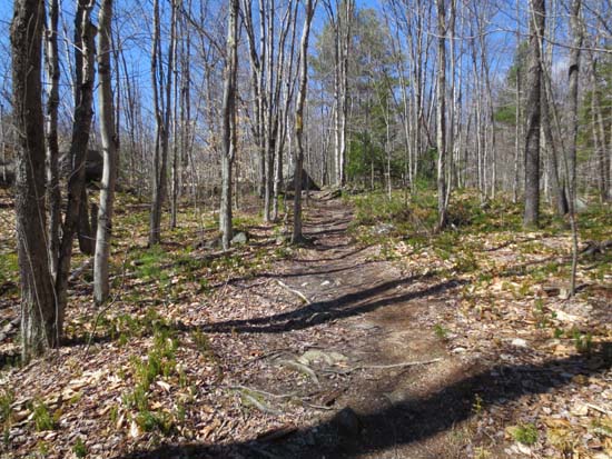
Looking up the Sands Trail
Route: Sands Trail, McIntire Trail, Gage Trail
Saw the sign for this (Bald Mountain Preserve) on my way back from a business meeting last week, so I decided to stop in while passing through today.
The Gage Trail is sort of an old woods road. The McIntire Trail wasn't well travelled or easy to follow. The Sands Trail was pretty fun, as it weaves up through the ledges (passing by some rock climbing areas) to the summit.
Decent directional views into Vermont from the Sands Trail. Also a directional view just past the summit on the McIntire Trail.
| Hike Ratings |
|
Getting To Trailhead: |
Easy |
| Destination: |
Bald Hill |
|
Length: |
Moderate |
|
Steepness: |
Moderate |
|
Navigation: |
Moderate |
|
Views: |
Excellent |
|
Crowds: |
Moderate |
|
| Hike Stats |
|
Date Hiked: |
Wednesday, April 24, 2013 |
| Parking Elevation: |
1,170' |
| Destination: |
Bald Hill |
| Time Elapsed: |
00:13 |
| Trailhead Elevation: |
1,220' |
| Summit Elevation: |
1,625' |
| Vertical Gain: |
425' |
|
|
| Hike Time Elapsed: |
00:31 |
| Hike Vertical Gain: |
445' |
|
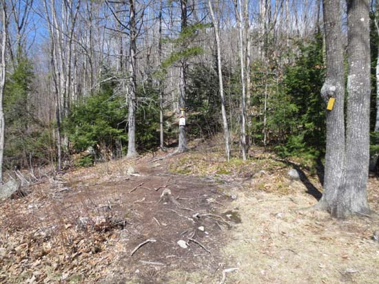
The Sands Trail trailhead
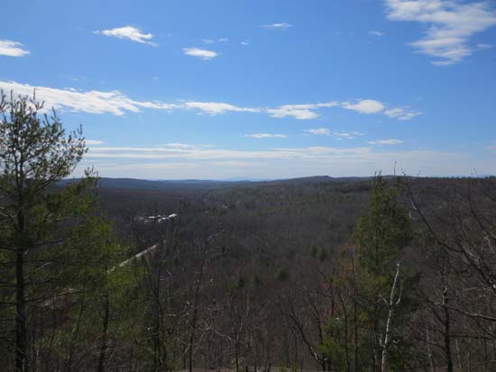
Looking toward Vermont from the Bald Hill ledges
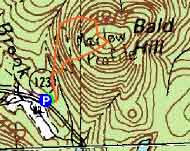

Directions to trailhead: From Route 9 in South Stoddard, take Route 123 North. The Bald Mountain Preserve roadside parking area will be on the right shortly after passing through Marlow village.
Back to Bald Hill Profile
|

