Home
States
Colorado
Connecticut
Maine
Massachusetts
New Hampshire
New York
Rhode Island
Utah
Vermont
View All
Lists
NE 4,000 Footers
NE 100 Highest
NH 4,000 Footers
NH 100 Highest
NH 52 With A View
NH Belknap Range
NH Ossipee 10
Links
Trail Conditions
Trip Log
Sunrises
Sunsets
About
|
Bald Knob
Moultonborough, NH
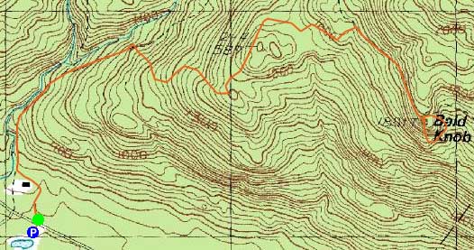
Trailheads, measurements, times, distances, and maps are all approximate and relative to the hike(s) as shown below.
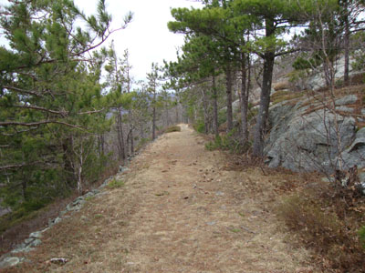
Looking down the Bald Knob Trail
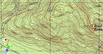
Route: Shannon Brook Trail, Bald Knob Cutoff, Bald Knob Trail, (Bald Knob), Bald Knob Trail, bushwhack, Bald Knob Trail, Bald Knob Cutoff, Shannon Brook Trail
With mediocre at best weather, I opted to stay local and do something that would be snow free.
As compared to late April a year earlier, spring had advanced much more dramatically - there was no snow or ice to be seen anywhere at this elevation. In addition, the trail was fairly dry.
After reaching the summit, I opted to unsuccessfully look for a rare wildflower. I dropped down the other side of the Bald Knob Trail, then climbed up the western rock face, before returning to the Shannon Brook Trail.
| Hike Ratings |
|
Getting To Trailhead: |
Easy |
| Destination: |
Bald Knob |
|
Length: |
Moderate |
|
Steepness: |
Moderate |
|
Navigation: |
Easy |
|
Views: |
Excellent |
|
Crowds: |
Moderate |
|
| Hike Stats |
|
Date Hiked: |
Thursday, April 8, 2010 |
| Hike Commenced: |
3:25 PM |
| Parking Elevation: |
720' |
| Destination: |
Bald Knob |
| Ascent Commenced: |
3:26 PM |
| Summit Reached: |
4:00 PM |
| Time Elapsed: |
00:34 |
| Trailhead Elevation: |
730' |
| Summit Elevation: |
1,801' |
| Distance: |
2 miles |
| Vertical Gain: |
1,171' |
|
|
| Hike Ended: |
5:17 PM |
| Hike Time Elapsed: |
01:52 |
| Hike Vertical Gain: |
1,472' |
|
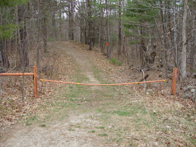
Shannon Brook Trail trailhead
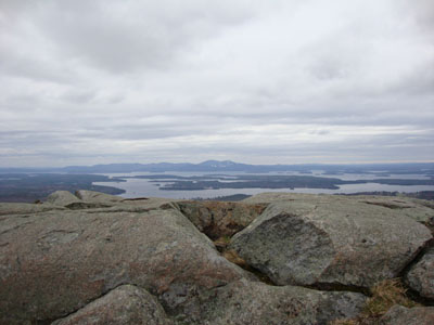
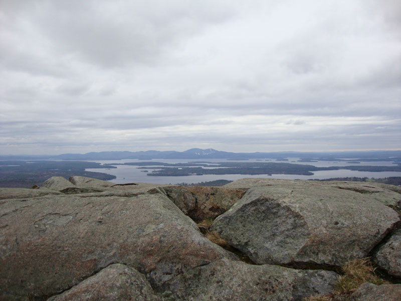
The Belknaps as seen from Bald Knob
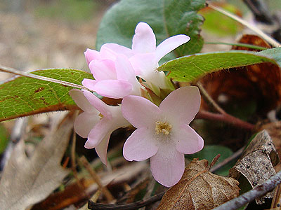
Trailing Arbutus along the Bald Knob Cutoff

The heading up the west face of Bald Knob

Directions to trailhead: Take Route 109 South from Route 25. Bear left onto Route 171. Shortly after the main Castle in the Clouds entrance, there will be a hiker parking lot on the right side of the road. Trailhead is directly across from it.
Back to Bald Knob Profile
|