Home
States
Colorado
Connecticut
Maine
Massachusetts
New Hampshire
New York
Rhode Island
Utah
Vermont
View All
Lists
NE 4,000 Footers
NE 100 Highest
NH 4,000 Footers
NH 100 Highest
NH 52 With A View
NH Belknap Range
NH Ossipee 10
Links
Trail Conditions
Trip Log
Sunrises
Sunsets
About
|
Bald Knob
Moultonborough, NH
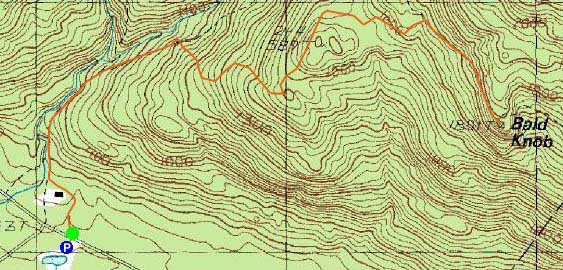
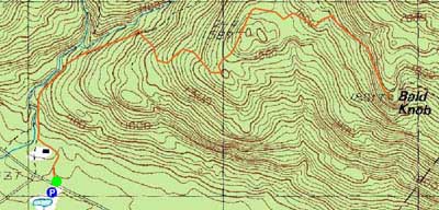
Trailheads, measurements, times, distances, and maps are all approximate and relative to the hike(s) as shown below.
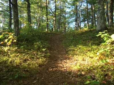
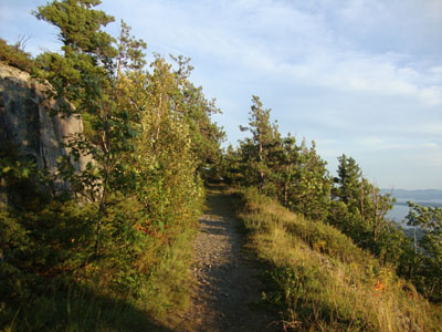
Looking up the Bald Knob Cutoff
Route: Shannon Brook Trail, Bald Knob Cutoff, Bald Knob Trail, (Bald Knob), Bald Knob Trail, Bald Knob Cutoff, Shannon Brook Trail
In need of some exercise, I headed over to the Castle in the Clouds area for a jog up to Bald Knob.
The trail was dry all the way to the top, including the normally muddy areas. Along the way, I observed some new plastic trail markers on all three trails.
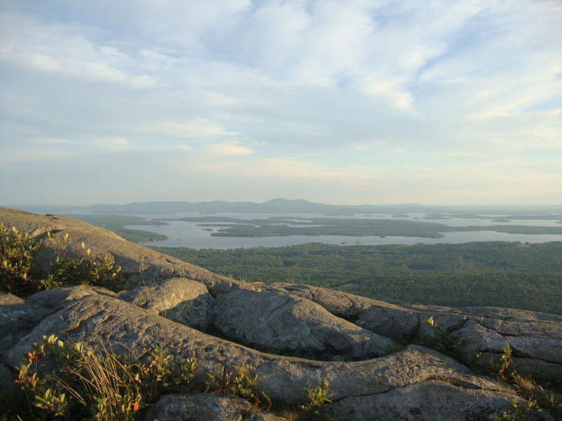
Reaching the summit, the views were fairly strong in all directions. While it was tempting to linger awhile, I wanted to make it down prior to sunset.
| Hike Ratings |
|
Getting To Trailhead: |
Easy |
| Destination: |
Bald Knob |
|
Length: |
Moderate |
|
Steepness: |
Moderate |
|
Navigation: |
Easy |
|
Views: |
Excellent |
|
Crowds: |
Minimal |
|
| Hike Stats |
|
Date Hiked: |
Tuesday, August 17, 2010 |
| Hike Commenced: |
6:31 PM |
| Parking Elevation: |
720' |
| Destination: |
Bald Knob |
| Ascent Commenced: |
6:31 PM |
| Summit Reached: |
7:01 PM |
| Time Elapsed: |
00:30 |
| Trailhead Elevation: |
730' |
| Summit Elevation: |
1,801' |
| Distance: |
2 miles |
| Vertical Gain: |
1,171' |
|
|
| Hike Ended: |
7:33 PM |
| Hike Time Elapsed: |
01:02 |
| Hike Distance: |
4 miles |
| Hike Vertical Gain: |
1,281' |
|
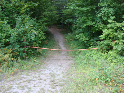
Shannon Brook Trail trailhead
Looking up the Bald Knob Trail

The Belknaps as seen from Bald Knob

Directions to trailhead: Take Route 109 South from Route 25. Bear left onto Route 171. Shortly after the main Castle in the Clouds entrance, there will be a hiker parking lot on the right side of the road. Trailhead is directly across from it.
Back to Bald Knob Profile
|