Home
States
Colorado
Connecticut
Maine
Massachusetts
New Hampshire
New York
Rhode Island
Utah
Vermont
View All
Lists
NE 4,000 Footers
NE 100 Highest
NH 4,000 Footers
NH 100 Highest
NH 52 With A View
NH Belknap Range
NH Ossipee 10
Links
Trail Conditions
Trip Log
Sunrises
Sunsets
About
|
Bald Ledge
New Hampton, NH
Trailheads, measurements, times, distances, and maps are all approximate and relative to the hike(s) as shown below.
The Bald Ledge Trail
Route: Bald Ledge Trail
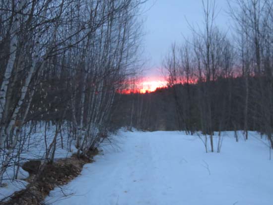
First portion (road portion) of Bald Ledge Trail was a bit beaten up by bareboot traffic. Snowshoes allowed enough floatation to wander off the footbed to avoid some of it while staying above the crust.
After the gate, there was a decently frozen snowshoe bed with minimal postholes. While one could bareboot it right now, any above freezing temperatures would thaw it into a soft mess. Snowshoes were ideal.
Overall, snowpack is probably 1-2 feet, perhaps more in shaded areas.
| Hike Ratings |
|
Getting To Trailhead: |
Easy |
| Destination: |
Bald Ledge |
|
Length: |
Easy |
|
Steepness: |
Easy |
|
Navigation: |
Moderate |
|
Views: |
Excellent |
|
Crowds: |
Minimal |
|
| Hike Stats |
|
Date Hiked: |
Monday, March 30, 2015 |
| Parking Elevation: |
1,100' |
| Destination: |
Bald Ledge |
| Time Elapsed: |
00:09 |
| Trailhead Elevation: |
1,100' |
| Summit Elevation: |
1,130' |
| Distance: |
0.8 miles |
| Vertical Gain: |
100' |
|
|
| Hike Time Elapsed: |
00:30 |
| Hike Distance: |
1.6 miles |
| Hike Vertical Gain: |
160' |
|
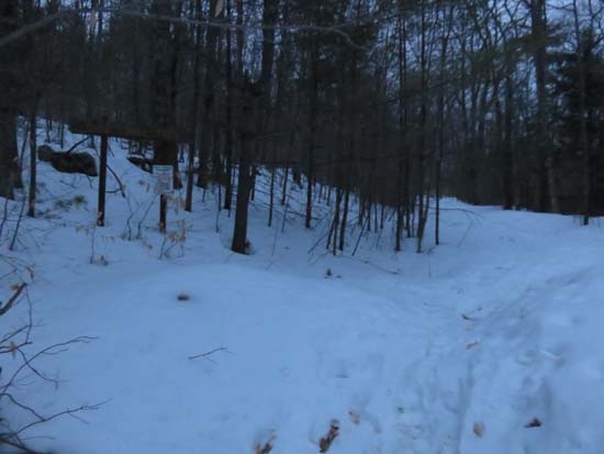
The start of the Bald Ledge Trail at the end of the maintained portion of Sky Pond Road
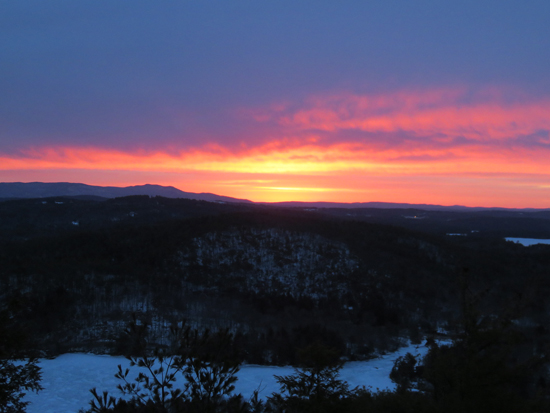
The sunrise from Bald Ledge
Directions to trailhead: From Ashland, take Route 132 south, then bear left onto Winona Road. Take a right onto Dana Hill Road. Take a left onto Lower Oxbow Road. Take a left onto Sky Pond Road. The Sky Pond boat launch and parking area will be on the right just prior to the end of the road (not plowed in winter). The Bald Ledge Trail starts as the continuation of Sky Pond Road.
Back to Bald Ledge Profile
|

