Home
States
Colorado
Connecticut
Maine
Massachusetts
New Hampshire
New York
Rhode Island
Utah
Vermont
View All
Lists
NE 4,000 Footers
NE 100 Highest
NH 4,000 Footers
NH 100 Highest
NH 52 With A View
NH Belknap Range
NH Ossipee 10
Links
Trail Conditions
Trip Log
Sunrises
Sunsets
About
|
Beech Hill
New Hampton, NH
Trailheads, measurements, times, distances, and maps are all approximate and relative to the hike(s) as shown below.
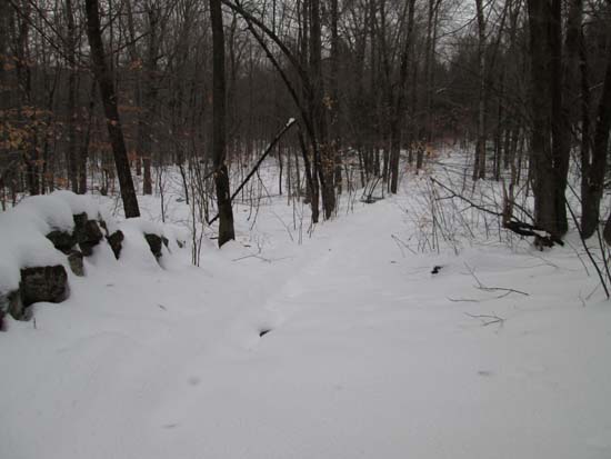
The woods road beyond the Bald Ledge Trail turnoff
Route: Bald Ledge Trail, woods road, logging road, bushwhack
Snow has consolidated/melted down to closer 6-8" in depth over the past few days in this area. First portion of Bald Ledge Trail is packed out for snowshoes/skis (from a few days ago), however thereafter I had the only tracks (on snowshoes). Followed Sky Pond Road beyond the Bald Ledge Trail turnoff, then took a right onto an old logging road (a few boulders blocking it off) and followed that until it petered out at the foot of Beech Hill.
Thereafter, I followed the ridge through generally open woods up to the wooded highpoint. I then descended a little to the south to a shelf, where there could be fantastic views if not for small hardwood growth. I descended just a little further to the south and found two adjacent decent but narrow directional views toward the Belknaps and toward the southwest (the latter on a stonewall).
I then dropped down the north side of the peak, directly to Sky Pond (occasionally on old logging roads...generally open woods...could be wet in a few areas), then followed a faint herd path back to the boat launch.
Snow was moist, but rain had not yet begun.
| Hike Ratings |
|
Getting To Trailhead: |
Easy |
| Destination: |
Beech Hill |
|
Length: |
Moderate |
|
Steepness: |
Difficult |
|
Navigation: |
Difficult |
|
Views: |
Moderate |
|
Crowds: |
Minimal |
|
| Hike Stats |
|
Date Hiked: |
Saturday, December 21, 2013 |
| Parking Elevation: |
1,090' |
| Destination: |
Beech Hill |
| Time Elapsed: |
00:34 |
| Trailhead Elevation: |
1,100' |
| Summit Elevation: |
1,490' |
| Vertical Gain: |
410' |
|
|
| Hike Time Elapsed: |
01:18 |
| Hike Vertical Gain: |
450' |
|
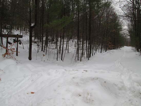
The start of the Bald Ledge Trail at the end of the maintained portion of Sky Pond Road
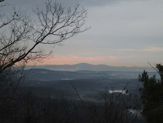
Looking at the Belknaps from near the summit of Beech Hill
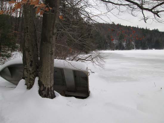
Sky Pond
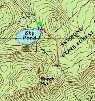

Directions to trailhead: From Ashland, take Route 132 south, then bear left onto Winona Road. Take a right onto Dana Hill Road. Take a left onto Lower Oxbow Road. Take a left onto Sky Pond Road. The Sky Pond boat launch and parking area will be on the right just prior to the end of the road. The Bald Ledge Trail starts as the continuation of Sky Pond Road.
Back to Beech Hill Profile
|

