Home
States
Colorado
Connecticut
Maine
Massachusetts
New Hampshire
New York
Rhode Island
Utah
Vermont
View All
Lists
NE 4,000 Footers
NE 100 Highest
NH 4,000 Footers
NH 100 Highest
NH 52 With A View
NH Belknap Range
NH Ossipee 10
Links
Trail Conditions
Trip Log
Sunrises
Sunsets
About
|
Belknap Mountain
Gilford, NH
Trailheads, measurements, times, distances, and maps are all approximate and relative to the hike(s) as shown below.
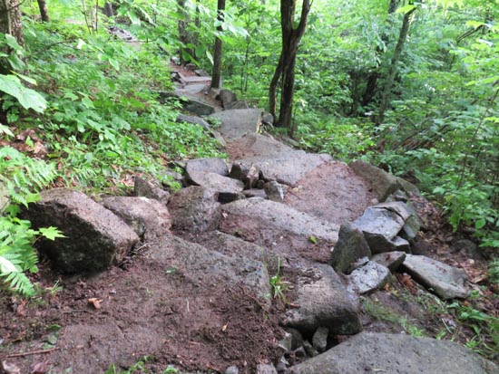
A recently rebuilt stretch of the Red Trail
Route: Blue Trail, Red Trail, (Belknap Mountain), Green Trail
Rebuilt portion of the trails was in decent shape following the afternoon downpour, but the rest of the way was generally wet and slippery with areas of standing and running water.
| Hike Ratings |
|
Getting To Trailhead: |
Easy |
| Destination: |
Belknap Mountain |
|
Length: |
Easy |
|
Steepness: |
Difficult |
|
Navigation: |
Easy |
|
Views: |
Moderate (due to weather) |
|
Crowds: |
Minimal |
|
| Hike Stats |
|
Date Hiked: |
Tuesday, June 16, 2015 |
| Parking Elevation: |
1,670' |
| Destination: |
Belknap Mountain |
| Trailhead Elevation: |
1,710' |
| Summit Elevation: |
2,382' |
| Vertical Gain: |
677' |
|
|
| Hike Vertical Gain: |
722' |
|
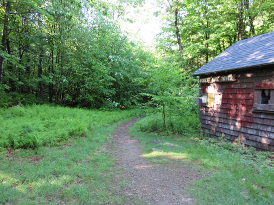
The Blue Trail trailhead
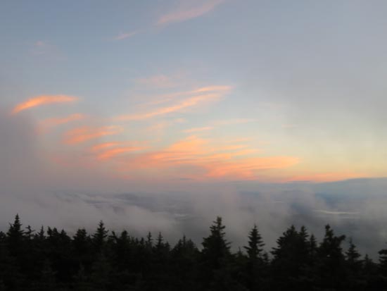
The sunset as seen from the Belknap Mountain fire tower

The sunset as seen from the Belknap Mountain fire tower
Directions to trailhead: From Route 11A East (from Route 3), take a right on Hoyt Road. Continue down this road as it becomes Belknap Mountain Road. Eventually, take a left onto the Carriage Road. In season, one can drive up the road (gate locked at 6 PM) and park in the upper parking lot. The Red Trail trailhead is located beyond the garage near the parking lot.
Back to Belknap Mountain Profile
|