Home
States
Colorado
Connecticut
Maine
Massachusetts
New Hampshire
New York
Rhode Island
Utah
Vermont
View All
Lists
NE 4,000 Footers
NE 100 Highest
NH 4,000 Footers
NH 100 Highest
NH 52 With A View
NH Belknap Range
NH Ossipee 10
Links
Trail Conditions
Trip Log
Sunrises
Sunsets
About
|
Belknap Mountain, Gunstock Mountain
Gilford, NH
Trailheads, measurements, times, distances, and maps are all approximate and relative to the hike(s) as shown below.
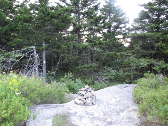
Looking down the upper Boulder Trail
Route: Herd path, Round Pond Trail, herd path, Piper-Round Pond Link, Boulder Trail, East Gilford Trail, (Belknap Mountain), Blue Trail, Saddle Trail, (Gunstock Mountain), ski trails
Ascended Belknap via a combination of a herd path to Round Pond Trail, the overgrown extension of the Fire Road to a herd path to Piper-Round Pond Link, then up the boulder fields on the Boulder Trail to the ledges of the upper Boulder and East Gilford trails.
Trails were initially mostly dry, however an isolated shower moved through around 8 PM, making things wet.
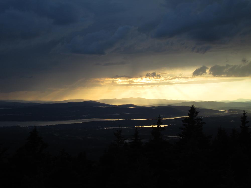
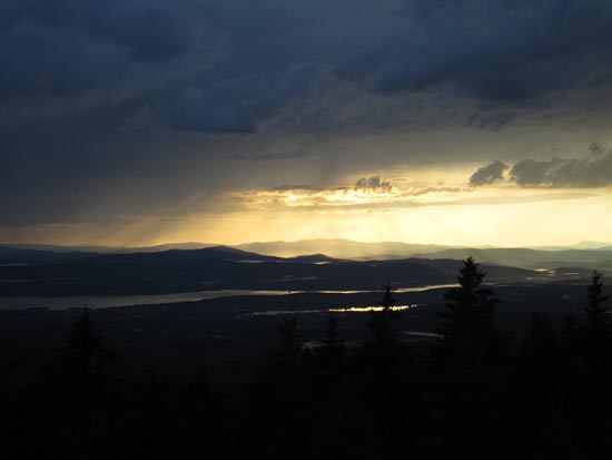
Not much in way of blueberries, but best picking was on Boulder Trail prior to East Gilford junction. Nice sunset from atop Gunstock Mountain (rare to get a clear glimpse at it from here).
| Hike Ratings |
|
Getting To Trailhead: |
Moderate |
| Destination: |
Belknap Mountain |
|
Length: |
Moderate |
|
Steepness: |
Difficult |
|
Navigation: |
Moderate |
|
Views: |
Excellent |
|
Crowds: |
Minimal |
| Destination: |
Gunstock Mountain |
|
Length: |
Moderate |
|
Steepness: |
Difficult |
|
Navigation: |
Easy |
|
Views: |
Excellent |
|
Crowds: |
Minimal |
|
| Hike Stats |
|
Date Hiked: |
Tuesday, July 28, 2015 |
| Parking Elevation: |
935' |
| Destination: |
Belknap Mountain |
| Trailhead Elevation: |
935' |
| Summit Elevation: |
2,382' |
| Vertical Gain: |
1,547' |
| Destination: |
Belknap Mountain |
| Trailhead Elevation: |
2,382' |
| Summit Elevation: |
2,245' |
| Vertical Gain: |
270' |
|
|
| Hike Vertical Gain: |
1,817' |
|
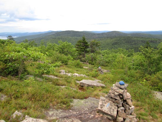
Cardigan as seen from the Belknap Mountain fire tower

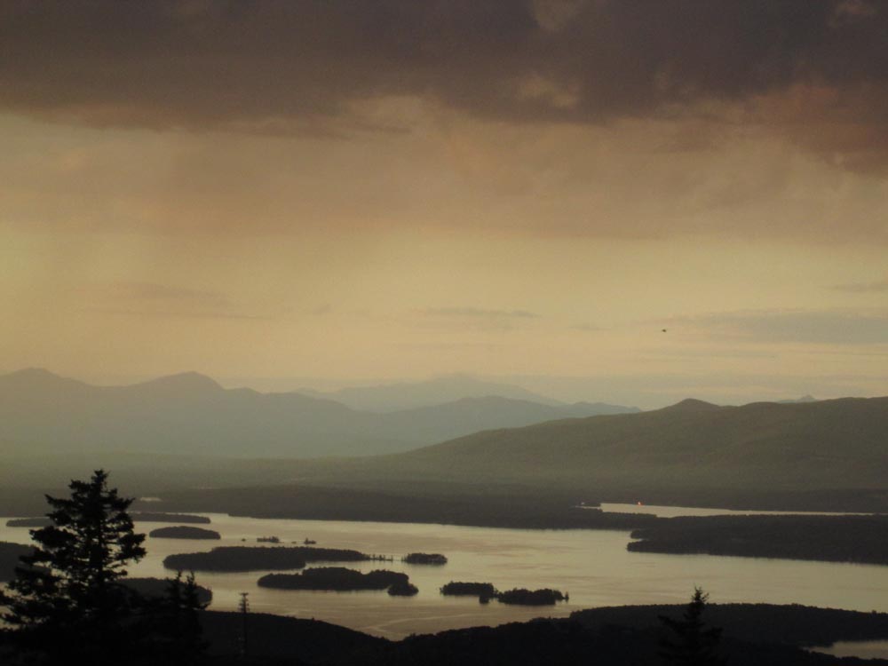
Mt. Washington as seen from Gunstock Mountain
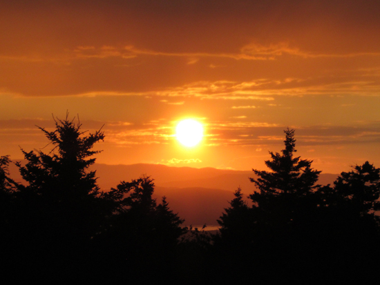
The sunset as seen from Gunstock Mountain
Directions to trailhead: Take Route 11A to Gunstock entrance, parking lot near the base lodge of the ski area.
Back to Belknap Mountain Profile
Back to Gunstock Mountain Profile
|