Home
States
Colorado
Connecticut
Maine
Massachusetts
New Hampshire
New York
Rhode Island
Utah
Vermont
View All
Lists
NE 4,000 Footers
NE 100 Highest
NH 4,000 Footers
NH 100 Highest
NH 52 With A View
NH Belknap Range
NH Ossipee 10
Links
Trail Conditions
Trip Log
Sunrises
Sunsets
About
|
Big Attitash Mountain
Conway, NH, Hales Location, NH, Barlett, NH
Trailheads, measurements, times, distances, and maps are all approximate and relative to the hike(s) as shown below.
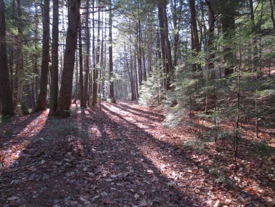
Looking up the Moat Mountain Trail
Route: Moat Mountain Trail, Attitash Trail
First portion of Moat Mountain Trail to Diana's Bath was a cakewalk. Just around the corner was the muddiest portion of the hike, with some black ice mixed in for good measure. A little before the Red Ridge Trail junction, there is an area in which a brook hopped its back and now flows down the trail for a little while. A herd path goes right (ascending) to avoid most of this, prior to crossing that brook.
Attitash Trail was mostly dry with very little black ice. This side seems to be better maintained than the overgrown northwest approach. Highpoint is much more apparent from this direction, rather than the series of ups and downs from the northwest approach.
Microspikes never left the pack and I don't think will be necessary for this route until at least the next precip event.
Irene damage pretty amazing in places.
| Hike Ratings |
|
Getting To Trailhead: |
Easy |
| Destination: |
Big Attitash Mountain |
|
Length: |
Moderate |
|
Steepness: |
Difficult |
|
Navigation: |
Moderate |
|
Views: |
Minimal |
|
Crowds: |
Minimal |
|
| Hike Stats |
|
Date Hiked: |
Wednesday, November 21, 2012 |
| Parking Elevation: |
550' |
| Destination: |
Big Attitash Mountain |
| Time Elapsed: |
02:15 |
| Trailhead Elevation: |
550' |
| Summit Elevation: |
2,910' |
| Distance: |
4.9 miles |
| Vertical Gain: |
2,510' |
|
|
| Hike Time Elapsed: |
04:31 |
| Hike Distance: |
9.8 miles |
| Hike Vertical Gain: |
2,660' |
|
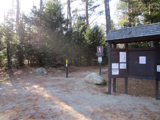
Moat Mountain Trail trailhead
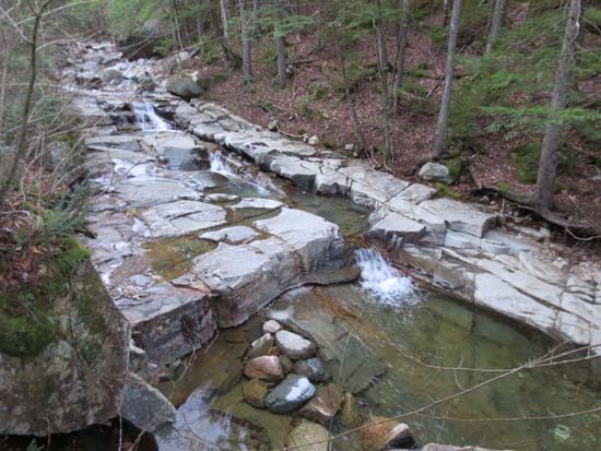
Cascades along the Attitash Trail

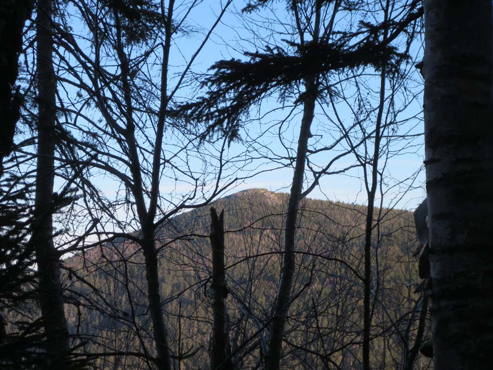
North Moat Mountain as seen through the trees from near the summit of Big Attitash
Directions to trailhead: From Conway, take West Side Road northwest to the Diana's Bath WMNF fee parking lot. The Moat Mountain Trail starts at the back of the parking lot.
Back to Big Attitash Mountain Profile
|