Home
States
Colorado
Connecticut
Maine
Massachusetts
New Hampshire
New York
Rhode Island
Utah
Vermont
View All
Lists
NE 4,000 Footers
NE 100 Highest
NH 4,000 Footers
NH 100 Highest
NH 52 With A View
NH Belknap Range
NH Ossipee 10
Links
Trail Conditions
Trip Log
Sunrises
Sunsets
About
|
Black Cap
Conway, NH
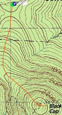
Trailheads, measurements, times, distances, and maps are all approximate and relative to the hike(s) as shown below.
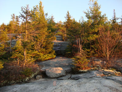
Looking up the Black Cap Trail
Route: Black Cap Trail
While I had very limited daylight to hike after work, I was determined to enjoy the excellent weather. With Hurricane Mountain Road still open, I decided a quick sunset hike to Black Cap would work.
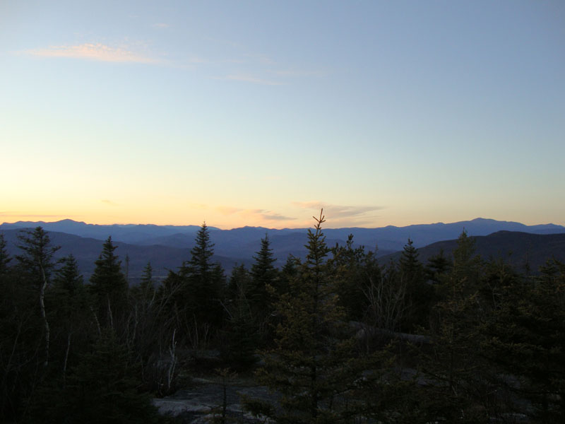
The first portion of the trail was fairly dry. Reaching the ledges, there were a few patches of water and ice - all avoidable though. The sun was just starting to set as I neared the summit. Just beyond the summit, a near-full moon was rising over the flats and hills in western Maine.
Due to a general lack of clouds, the sunset display wasn't overly colorful. Nonetheless, it was a nice, mild night and a halfway decent display.
| Hike Ratings |
|
Getting To Trailhead: |
Easy |
| Destination: |
Black Cap |
|
Length: |
Easy |
|
Steepness: |
Moderate |
|
Navigation: |
Easy |
|
Views: |
Excellent |
|
Crowds: |
Minimal |
|
| Hike Stats |
|
Date Hiked: |
Monday, November 2, 2008 |
| Hike Commenced: |
4:01 PM |
| Parking Elevation: |
1,705' |
| Destination: |
Black Cap |
| Ascent Commenced: |
4:01 PM |
| Summit Reached: |
4:23 PM |
| Time Elapsed: |
00:22 |
| Trailhead Elevation: |
1,705' |
| Summit Elevation: |
2,369' |
| Distance: |
1.3 miles |
| Vertical Gain: |
679' |
|
|
| Hike Ended: |
5:06 PM |
| Hike Time Elapsed: |
01:05 |
| Hike Distance: |
2.6 miles |
| Hike Vertical Gain: |
734' |
|
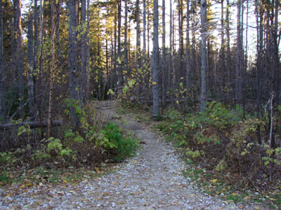
Black Cap Trail trailhead

Looking at Mt. Carrigain through Mt. Adams from Black Cap
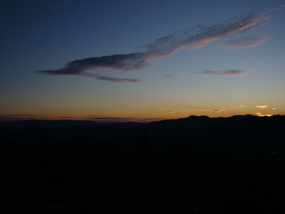
Sunset colors over the Ossipee and Sandwich Ranges

Directions to trailhead: Take Route 16 North from North Conway. Take a right onto Hurricane Mountain Road. Go past the Kearsarge North Trail trailhead, past the gate, and to the top of the mountain. Parking area and trailhead are on the right.
Back to Black Cap Profile
|